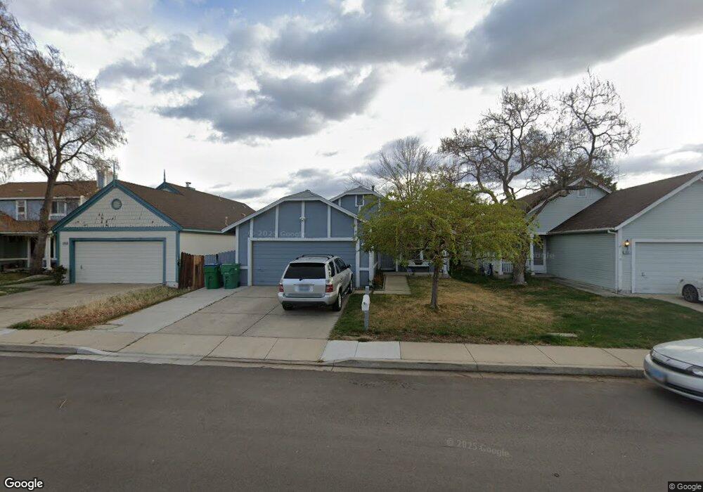
1940 Burnside Dr Sparks, NV 89434
O'Callaghan NeighborhoodEstimated Value: $429,223 - $448,000
3
Beds
2
Baths
1,376
Sq Ft
$317/Sq Ft
Est. Value
About This Home
This home is located at 1940 Burnside Dr, Sparks, NV 89434 and is currently estimated at $436,306, approximately $317 per square foot. 1940 Burnside Dr is a home located in Washoe County with nearby schools including Katherine Dunn Elementary School, George L Dilworth Middle School, and Edward C Reed High School.
Ownership History
Date
Name
Owned For
Owner Type
Purchase Details
Closed on
Jan 14, 2003
Sold by
Gutierrez Maria Lourdes
Bought by
Belarmino Edmundo P and Gutierrez Maria Lourdes
Current Estimated Value
Home Financials for this Owner
Home Financials are based on the most recent Mortgage that was taken out on this home.
Original Mortgage
$169,100
Interest Rate
5.96%
Purchase Details
Closed on
Sep 8, 1994
Sold by
Ludden Michael L and Ludden Suzette M
Bought by
Gutierrez Maria Lourdes
Home Financials for this Owner
Home Financials are based on the most recent Mortgage that was taken out on this home.
Original Mortgage
$120,000
Interest Rate
8.57%
Create a Home Valuation Report for This Property
The Home Valuation Report is an in-depth analysis detailing your home's value as well as a comparison with similar homes in the area
Home Values in the Area
Average Home Value in this Area
Purchase History
| Date | Buyer | Sale Price | Title Company |
|---|---|---|---|
| Belarmino Edmundo P | -- | Stewart Title Of Northern Nv | |
| Gutierrez Maria Lourdes | $124,000 | Stewart Title |
Source: Public Records
Mortgage History
| Date | Status | Borrower | Loan Amount |
|---|---|---|---|
| Closed | Belarmino Edmundo P | $169,100 | |
| Closed | Gutierrez Maria Lourdes | $120,000 |
Source: Public Records
Tax History Compared to Growth
Tax History
| Year | Tax Paid | Tax Assessment Tax Assessment Total Assessment is a certain percentage of the fair market value that is determined by local assessors to be the total taxable value of land and additions on the property. | Land | Improvement |
|---|---|---|---|---|
| 2025 | $1,581 | $66,880 | $32,851 | $34,029 |
| 2024 | $1,536 | $65,862 | $31,089 | $34,774 |
| 2023 | $1,536 | $64,042 | $30,690 | $33,352 |
| 2022 | $1,491 | $52,836 | $24,705 | $28,132 |
| 2021 | $1,449 | $47,194 | $18,853 | $28,341 |
| 2020 | $1,404 | $47,504 | $18,786 | $28,718 |
| 2019 | $1,363 | $46,051 | $17,988 | $28,063 |
| 2018 | $1,324 | $41,013 | $13,267 | $27,746 |
| 2017 | $1,287 | $40,084 | $12,037 | $28,047 |
| 2016 | $1,254 | $39,737 | $10,840 | $28,897 |
| 2015 | $1,252 | $38,248 | $9,144 | $29,104 |
| 2014 | $1,216 | $36,131 | $7,814 | $28,317 |
| 2013 | -- | $32,496 | $5,786 | $26,710 |
Source: Public Records
Map
Nearby Homes
- 1770 Burnside Dr
- 2252 Sycamore Glen Dr
- 1990 Fargo Way
- 1655 Sabatino Dr
- 1280 O'Callaghan Dr
- 2435 Sycamore Glen Dr Unit 2
- 2407 Sunny Slope Dr Unit 1
- 1332 Coachman Ct
- 1970 Woodhaven Ln
- 1544 Woodhaven Ln
- 2688 Laguna Way
- 2763 Blossom View Dr
- 1218 Junction Dr
- 1688 Round Mountain Cir
- 1897 Bonita Vista Dr
- 1051 Glen Martin Dr
- 1973 Rio Tinto Dr
- 2002 Wabash Cir
- 914 Glen Martin Dr
- 913 Glen Molly Dr
- 1930 Burnside Dr
- 1950 Burnside Dr
- 1950 Burnside Dr Unit Drive
- 1960 Burnside Dr
- 1920 Burnside Dr
- 1910 Burnside Dr
- 1970 Burnside Dr
- 1941 Burnside Dr
- 1931 Burnside Dr
- 1951 Burnside Dr
- 1980 Burnside Dr
- 1900 Burnside Dr
- 1921 Burnside Dr
- 1961 Burnside Dr
- 1971 Burnside Dr
- 1911 Burnside Dr
- 2000 Burnside Dr
- 1870 Burnside Dr
- 1981 Burnside Dr
- 1901 Burnside Dr