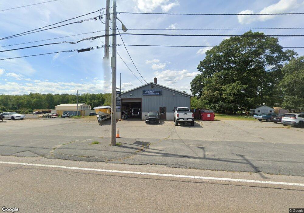
1940 County St Unit front Dighton, MA 02715
Estimated Value: $453,376
3
Beds
1
Bath
2,400
Sq Ft
$189/Sq Ft
Est. Value
About This Home
This home is located at 1940 County St Unit front, Dighton, MA 02715 and is currently estimated at $453,376, approximately $188 per square foot. 1940 County St Unit front is a home located in Bristol County with nearby schools including Dighton-Rehoboth Regional High School.
Ownership History
Date
Name
Owned For
Owner Type
Purchase Details
Closed on
Apr 28, 2022
Sold by
Dandermar Inc
Bought by
D Hanoud Properties Llc
Current Estimated Value
Home Financials for this Owner
Home Financials are based on the most recent Mortgage that was taken out on this home.
Original Mortgage
$318,000
Outstanding Balance
$296,875
Interest Rate
4.16%
Mortgage Type
Commercial
Estimated Equity
$156,501
Purchase Details
Closed on
May 22, 2015
Sold by
Broad Cove Rt
Bought by
Dandermar Inc
Home Financials for this Owner
Home Financials are based on the most recent Mortgage that was taken out on this home.
Original Mortgage
$318,750
Interest Rate
3.66%
Mortgage Type
Commercial
Purchase Details
Closed on
Dec 31, 2013
Sold by
Rederick Antone P
Bought by
Broad Cove Rt and Roderick Antone P
Purchase Details
Closed on
Jul 12, 2013
Sold by
Camara Erik E
Bought by
Roderick Antone P
Purchase Details
Closed on
Oct 28, 2010
Sold by
Roderick Antone P
Bought by
Camara Erik E
Home Financials for this Owner
Home Financials are based on the most recent Mortgage that was taken out on this home.
Original Mortgage
$750,000
Interest Rate
4.39%
Mortgage Type
Commercial
Create a Home Valuation Report for This Property
The Home Valuation Report is an in-depth analysis detailing your home's value as well as a comparison with similar homes in the area
Home Values in the Area
Average Home Value in this Area
Purchase History
| Date | Buyer | Sale Price | Title Company |
|---|---|---|---|
| D Hanoud Properties Llc | $385,000 | None Available | |
| Dandermar Inc | $425,000 | -- | |
| Broad Cove Rt | -- | -- | |
| Roderick Antone P | -- | -- | |
| Camara Erik E | $750,000 | -- |
Source: Public Records
Mortgage History
| Date | Status | Borrower | Loan Amount |
|---|---|---|---|
| Open | D Hanoud Properties Llc | $318,000 | |
| Previous Owner | Dandermar Inc | $318,750 | |
| Previous Owner | Camara Erik E | $750,000 |
Source: Public Records
Tax History
| Year | Tax Paid | Tax Assessment Tax Assessment Total Assessment is a certain percentage of the fair market value that is determined by local assessors to be the total taxable value of land and additions on the property. | Land | Improvement |
|---|---|---|---|---|
| 2025 | $11,463 | $467,700 | $303,900 | $163,800 |
| 2024 | $12,190 | $458,600 | $295,800 | $162,800 |
| 2023 | $11,812 | $460,700 | $276,200 | $184,500 |
| 2022 | $11,640 | $444,800 | $276,200 | $168,600 |
| 2021 | $11,714 | $428,300 | $260,500 | $167,800 |
| 2020 | $11,695 | $424,200 | $260,500 | $163,700 |
| 2019 | $11,812 | $429,200 | $260,500 | $168,700 |
| 2018 | $11,192 | $408,600 | $230,000 | $178,600 |
| 2017 | $12,277 | $443,700 | $247,000 | $196,700 |
| 2016 | $8,014 | $283,900 | $135,300 | $148,600 |
| 2015 | $8,064 | $290,500 | $191,200 | $99,300 |
| 2014 | -- | $283,900 | $184,600 | $99,300 |
Source: Public Records
Map
Nearby Homes
- 1889 Elm St
- 441 Marion Ave
- 418 Hart St
- 35 Water St
- 6 Jessie Ln
- 121 Bayview Ave
- 73 Bayview Ave
- 966 Main St
- 6 Waterford Cir
- 2798 Elm St
- 7 Maris Ln
- 66 S Main St
- 2206 Williams St
- 0 Wellington St
- 74R Club House Dr Unit 74R
- 73H Club House Dr Unit Lot 73H
- 35 Clubhouse Dr Unit RR35
- RR36 Club House Dr Unit Lot RR36
- RR33 Club House Dr Unit Lot RR33
- RR38 Club House Unit RR38
- 1940 County St
- 1928 County St
- 1965 County St
- 1955 County St
- 1892 County St
- 1892 County St
- 1892 County St Unit 1
- 1892 County St
- 1901 County St Unit 9/10
- 1901 County St Unit 1 & 2
- 1901 County St Unit 6
- 1901 County St Unit 7
- 1901 County St Unit 5
- 1901 County St Unit 9
- 1901 County St Unit 2B
- 1901 County St Unit 2
- 1901 County St Unit 1
- 1901 County St Unit 2nd Floor
- 1901 County St
- 1975 County St
Your Personal Tour Guide
Ask me questions while you tour the home.