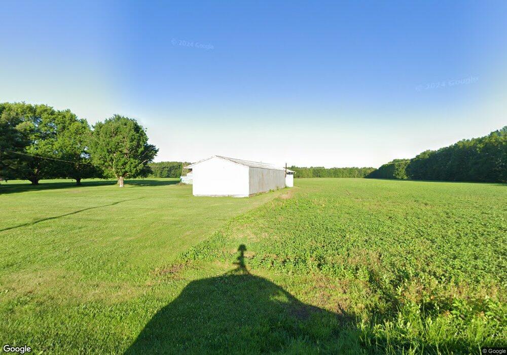
1940 Doak Rd Midland, OH 45148
Estimated Value: $133,000 - $215,000
2
Beds
1
Bath
1,571
Sq Ft
$113/Sq Ft
Est. Value
About This Home
This home is located at 1940 Doak Rd, Midland, OH 45148 and is currently estimated at $177,646, approximately $113 per square foot. 1940 Doak Rd is a home with nearby schools including East End Elementary School, Denver Place Elementary School, and Roy E. Holmes Elementary School.
Ownership History
Date
Name
Owned For
Owner Type
Purchase Details
Closed on
Jul 20, 2012
Sold by
Bashaw Larry E and Bashaw Grace S
Bought by
Mclarty Walter and Mclarty Jacqueline
Current Estimated Value
Home Financials for this Owner
Home Financials are based on the most recent Mortgage that was taken out on this home.
Original Mortgage
$38,000
Outstanding Balance
$26,206
Interest Rate
3.65%
Estimated Equity
$151,440
Purchase Details
Closed on
Jan 1, 1990
Bought by
King Harold E and Delva *Le
Create a Home Valuation Report for This Property
The Home Valuation Report is an in-depth analysis detailing your home's value as well as a comparison with similar homes in the area
Home Values in the Area
Average Home Value in this Area
Purchase History
| Date | Buyer | Sale Price | Title Company |
|---|---|---|---|
| Mclarty Walter | -- | -- | |
| King Harold E | -- | -- |
Source: Public Records
Mortgage History
| Date | Status | Borrower | Loan Amount |
|---|---|---|---|
| Open | Mclarty Walter | $38,000 |
Source: Public Records
Tax History Compared to Growth
Tax History
| Year | Tax Paid | Tax Assessment Tax Assessment Total Assessment is a certain percentage of the fair market value that is determined by local assessors to be the total taxable value of land and additions on the property. | Land | Improvement |
|---|---|---|---|---|
| 2024 | $1,382 | $42,630 | $16,450 | $26,180 |
| 2023 | $1,382 | $42,630 | $16,450 | $26,180 |
| 2022 | $964 | $27,750 | $10,520 | $17,230 |
| 2021 | $975 | $27,750 | $10,520 | $17,230 |
| 2020 | $943 | $27,750 | $10,520 | $17,230 |
| 2019 | $766 | $22,680 | $7,370 | $15,310 |
| 2018 | $773 | $22,680 | $7,370 | $15,310 |
| 2017 | $751 | $22,680 | $7,370 | $15,310 |
| 2016 | $804 | $24,230 | $7,740 | $16,490 |
| 2015 | $804 | $24,230 | $7,740 | $16,490 |
| 2013 | $954 | $23,240 | $6,750 | $16,490 |
Source: Public Records
Map
Nearby Homes
- 13 S High St
- 67 Sweet St
- 89 E Main St
- 418 Cemetery Rd
- 1339 Hales Branch Rd
- 1295 Hales Branch Rd
- 2457 Martinsville Rd
- 1192 Frazier Rd
- 945 Lazenby Rd
- 187 Mitchell Ave
- 147 Broadway St S
- 13593 U S 68
- 14456 U S 68
- 6496 Lynchburg Rd
- 50 & 62 E State Route 350
- 4997 Kernan Rd
- 550 N Main St
- 1056 West Rd
- 963 Pratt Rd
- 0 N Main St Unit 1826514
- 1849 Doak Rd
- 2097 Doak Rd
- 1586 Doak Rd
- 1338 Doak Rd
- 5219 Jonesboro Rd
- 0 Oak Grove Rd Unit 1554431
- 0 Oak Grove Rd Unit 1385212
- 4325 Jonesboro Rd
- 165 Oak Grove Rd
- 5304 Jonesboro Rd
- 240 Oak Grove Rd
- 1224 Doak Rd
- 1213 Doak Rd
- 287 Oak Grove Rd
- 1030 Snead Rd
- 4131 Jonesboro Rd
- 80 Mud Switch Rd
- 80 Mudswitch Rd
- 4098 Jonesboro Rd
- 102 Mudswitch Rd