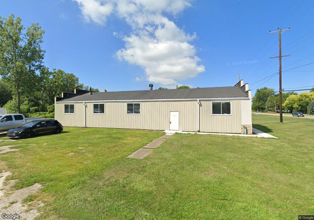
1940 E State Rd Port Clinton, OH 43452
Estimated Value: $96,455
--
Bed
--
Bath
3,395
Sq Ft
$28/Sq Ft
Est. Value
About This Home
This home is located at 1940 E State Rd, Port Clinton, OH 43452 and is currently priced at $96,455, approximately $28 per square foot. 1940 E State Rd is a home located in Ottawa County with nearby schools including Bataan Memorial Primary School, Bataan Memorial Intermediate School, and Port Clinton Middle School.
Ownership History
Date
Name
Owned For
Owner Type
Purchase Details
Closed on
Aug 17, 2023
Sold by
Standard Development Company Of Ohio Llc
Bought by
Brosius Nathan and Brosius Jennifer
Current Estimated Value
Purchase Details
Closed on
Mar 2, 2018
Sold by
Gillota Fuel Products Inc
Bought by
Sandusky Vending Limited Partnership
Purchase Details
Closed on
May 12, 1994
Bought by
Gillota Inc
Create a Home Valuation Report for This Property
The Home Valuation Report is an in-depth analysis detailing your home's value as well as a comparison with similar homes in the area
Home Values in the Area
Average Home Value in this Area
Purchase History
| Date | Buyer | Sale Price | Title Company |
|---|---|---|---|
| Brosius Nathan | $205,000 | None Listed On Document | |
| Brosius Nathan | $205,000 | None Listed On Document | |
| Sandusky Vending Limited Partnership | $52,000 | Hartung Title | |
| Gillota Inc | $135,000 | -- |
Source: Public Records
Tax History Compared to Growth
Tax History
| Year | Tax Paid | Tax Assessment Tax Assessment Total Assessment is a certain percentage of the fair market value that is determined by local assessors to be the total taxable value of land and additions on the property. | Land | Improvement |
|---|---|---|---|---|
| 2024 | $1,764 | $31,444 | $17,668 | $13,776 |
| 2023 | $1,680 | $20,647 | $11,512 | $9,135 |
| 2022 | $1,365 | $20,647 | $11,512 | $9,135 |
| 2021 | $1,364 | $20,650 | $11,510 | $9,140 |
| 2020 | $1,410 | $20,650 | $11,510 | $9,140 |
| 2019 | $1,278 | $17,920 | $11,510 | $6,410 |
| 2018 | $1,263 | $17,920 | $11,510 | $6,410 |
| 2017 | $1,660 | $26,720 | $18,320 | $8,400 |
| 2016 | $1,666 | $26,720 | $18,320 | $8,400 |
| 2015 | $1,664 | $26,720 | $18,320 | $8,400 |
| 2014 | $1,660 | $26,720 | $18,320 | $8,400 |
| 2013 | $1,664 | $26,720 | $18,320 | $8,400 |
Source: Public Records
Map
Nearby Homes
- 635 S Liz Ln
- 2321 E State Rd
- 1805 Briarcrest Dr
- 2650 E Harbor Rd
- 0 E Harbor Rd
- 2006 E Harbor Rd
- 168 Morningside Dr
- 12 N Beach St
- 19 N Beach St
- 188 Driftwood Dr
- 183 Driftwood Dr
- 1807 E Perry St Unit 69
- 1803 E Perry St Unit 36
- 34 Grande Lake Dr Unit C
- 115 Driftwood Dr
- 1801 E Perry St Unit 22
- 214 Linden St
- 2130 E Sand Rd
- 120 Maple St
- 680 S Plasterbed Rd Unit 4-7
- 1944 E State Rd
- 1910 E State Rd
- 1908 E State Rd
- 1941 E State Rd
- 553 S Liz Ln
- 1904 E State Rd
- 1947 E State Rd
- 1925 E State Rd
- 1925 E State St
- 1902 E State Rd
- 563 S Liz Ln
- 1882 E State Rd
- 1903 E State Rd
- 1907 E State Rd
- 1866 E State Rd
- 0 E State Rd Unit 20231887
- 0 E State Rd Unit 20220204
- 0 E State Rd Unit 20182629
- 0 E State Rd Unit 20192212
- 0 E State Rd Unit 20174292