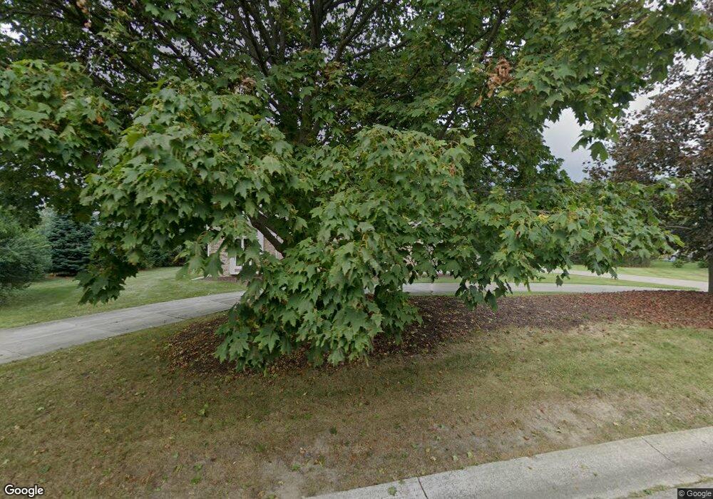
1940 Foxfire Ct Bloomfield Hills, MI 48302
Estimated Value: $708,950 - $1,013,000
4
Beds
4
Baths
3,482
Sq Ft
$244/Sq Ft
Est. Value
About This Home
This home is located at 1940 Foxfire Ct, Bloomfield Hills, MI 48302 and is currently estimated at $850,738, approximately $244 per square foot. 1940 Foxfire Ct is a home located in Oakland County with nearby schools including West Hills Middle School, Bloomfield Hills High School, and Brookfield Academy - West Bloomfield Campus.
Ownership History
Date
Name
Owned For
Owner Type
Purchase Details
Closed on
Dec 21, 2011
Sold by
Gu Perry Pengyun and Xie Karen Hiu
Bought by
Nagaj Matthew and Nagaj Stephanie A
Current Estimated Value
Purchase Details
Closed on
Aug 25, 2000
Sold by
Burns Herbert J
Bought by
Gu Perry P
Create a Home Valuation Report for This Property
The Home Valuation Report is an in-depth analysis detailing your home's value as well as a comparison with similar homes in the area
Home Values in the Area
Average Home Value in this Area
Purchase History
| Date | Buyer | Sale Price | Title Company |
|---|---|---|---|
| Nagaj Matthew | $506,000 | Devon Title | |
| Gu Perry P | $502,809 | -- |
Source: Public Records
Tax History Compared to Growth
Tax History
| Year | Tax Paid | Tax Assessment Tax Assessment Total Assessment is a certain percentage of the fair market value that is determined by local assessors to be the total taxable value of land and additions on the property. | Land | Improvement |
|---|---|---|---|---|
| 2024 | $3,820 | $305,360 | $0 | $0 |
| 2023 | $3,697 | $273,370 | $0 | $0 |
| 2022 | $8,061 | $266,640 | $0 | $0 |
| 2021 | $8,043 | $266,340 | $0 | $0 |
| 2020 | $3,382 | $284,000 | $0 | $0 |
| 2019 | $7,700 | $313,400 | $0 | $0 |
| 2018 | $7,761 | $287,760 | $0 | $0 |
| 2017 | $7,853 | $275,990 | $0 | $0 |
| 2016 | $7,791 | $271,860 | $0 | $0 |
| 2015 | -- | $246,910 | $0 | $0 |
| 2014 | -- | $221,950 | $0 | $0 |
| 2011 | -- | $181,970 | $0 | $0 |
Source: Public Records
Map
Nearby Homes
- 2045 Bordeaux St Unit 5
- 1795 Golf Ridge Dr Unit 19
- 4033 Fox Lake Dr
- 1887 Harvest Ln
- 1853 W Bend Dr
- 2276 Shore Hill Dr
- 3870 Glen Falls Dr
- 4170 Prescott Park Cir
- 4174 Prescott Park Cir
- 1992 Bent Tree Trail
- 4297 Wabeek Lake Dr S Unit 26
- 3468 Pine Estates Dr
- 3668 Bayou Dr
- 3377 Indian Summer Dr
- 4260 E Newland Dr
- 1735 Heron Ridge Dr
- 1723 Heron Ridge Dr
- 1744 Heron Ridge Dr
- 2954 Long Ridge Ct
- 1612 Apple Ln
- 1978 Golf Ridge Dr
- 1960 Golf Ridge Dr
- 1934 Foxfire Ct
- 1922 Foxfire Ct
- 1996 Golf Ridge Dr
- 1928 Foxfire Ct
- 1900 Seminole Ct
- 1979 Golf Ridge Dr
- 1973 Golf Ridge Dr
- 1904 Seminole Ct
- 1985 Golf Ridge Dr
- 1961 Golf Ridge Dr
- 1937 Golf Ridge Dr
- 1949 Golf Ridge Dr
- 1925 Golf Ridge Dr
- 1893 Wingate Rd
- VAC Long Lake
- 1997 Golf Ridge Dr
- 1961 Westlake Ct
- 1955 Westlake Ct
