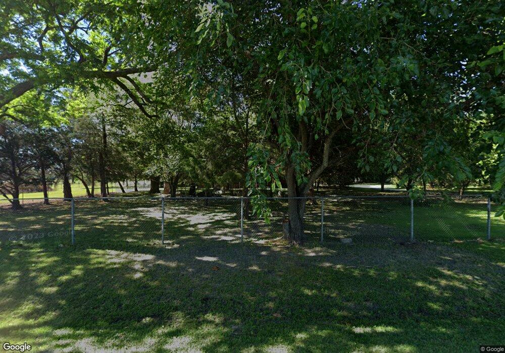
Estimated Value: $172,000 - $908,620
--
Bed
1
Bath
1,296
Sq Ft
$350/Sq Ft
Est. Value
About This Home
This home is located at 1940 Harts Mill Rd, Pavo, GA 31778 and is currently estimated at $453,405, approximately $349 per square foot. 1940 Harts Mill Rd is a home located in Thomas County with nearby schools including Hand in Hand Primary School, Garrison-Pilcher Elementary School, and Cross Creek Elementary School.
Ownership History
Date
Name
Owned For
Owner Type
Purchase Details
Closed on
Apr 5, 2022
Sold by
Fallin Bill Willie
Bought by
Fallin Bill Willie and Dawn Fallin Harvell Deborah
Current Estimated Value
Purchase Details
Closed on
Dec 17, 2010
Sold by
Fallin Bill Willie
Bought by
Fallin Bill Willie and Fallin Janice Gale
Purchase Details
Closed on
Sep 30, 1975
Bought by
Fallin Bill W
Create a Home Valuation Report for This Property
The Home Valuation Report is an in-depth analysis detailing your home's value as well as a comparison with similar homes in the area
Home Values in the Area
Average Home Value in this Area
Purchase History
| Date | Buyer | Sale Price | Title Company |
|---|---|---|---|
| Fallin Bill Willie | $855,527 | -- | |
| Fallin Bill Willie | -- | -- | |
| Fallin Bill W | $30,000 | -- |
Source: Public Records
Tax History Compared to Growth
Tax History
| Year | Tax Paid | Tax Assessment Tax Assessment Total Assessment is a certain percentage of the fair market value that is determined by local assessors to be the total taxable value of land and additions on the property. | Land | Improvement |
|---|---|---|---|---|
| 2024 | $2,234 | $216,851 | $142,216 | $74,635 |
| 2023 | $2,045 | $205,077 | $135,082 | $69,995 |
| 2022 | $1,912 | $190,358 | $135,082 | $55,276 |
| 2021 | $1,893 | $165,846 | $117,305 | $48,541 |
| 2020 | $1,921 | $165,844 | $117,305 | $48,539 |
| 2019 | $1,923 | $165,844 | $117,305 | $48,539 |
| 2018 | $1,926 | $165,166 | $116,498 | $48,668 |
| 2017 | $1,750 | $150,873 | $101,953 | $48,920 |
| 2016 | $1,775 | $150,599 | $101,953 | $48,646 |
| 2015 | $1,952 | $155,404 | $101,953 | $53,451 |
| 2014 | $1,953 | $154,384 | $101,953 | $52,430 |
| 2013 | -- | $162,088 | $109,657 | $52,430 |
Source: Public Records
Map
Nearby Homes
- 2036 Harts Mill Rd
- 1864 Harts Mill Rd
- 1873 Harts Mill Rd
- 2051 Harts Mill Rd
- 1804 Harts Mill Rd
- 1704 Harts Mill Rd
- 1670 Harts Mill Rd
- 260 Redding Rd
- 218 Redding Rd
- 2239 Harts Mill Rd
- 255 Redding Rd
- 1221 Antioch Church Rd
- 5447 Airline Rd
- 2467 Harts Mill Rd
- 1091 Antioch Church Rd
- 1852 Harts Mill Rd
- 2517 Harts Mill Rd
- 2580 Harts Mill Rd
- 5787 Airline Rd
- 4697 Airline Rd
