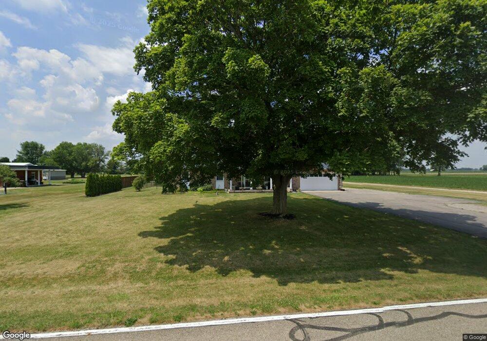
1940 Mowry Rd Pleasant Hill, OH 45359
Estimated Value: $207,000 - $295,000
3
Beds
2
Baths
1,352
Sq Ft
$191/Sq Ft
Est. Value
About This Home
This home is located at 1940 Mowry Rd, Pleasant Hill, OH 45359 and is currently estimated at $257,978, approximately $190 per square foot. 1940 Mowry Rd is a home located in Miami County with nearby schools including Newton Elementary School and Newton High School.
Ownership History
Date
Name
Owned For
Owner Type
Purchase Details
Closed on
Jul 20, 2023
Sold by
Smith Joshua G and Smith Alicia A
Bought by
Sorah James D and Sorah Virginia L
Current Estimated Value
Home Financials for this Owner
Home Financials are based on the most recent Mortgage that was taken out on this home.
Original Mortgage
$286,141
Outstanding Balance
$279,213
Interest Rate
6.71%
Mortgage Type
VA
Estimated Equity
-$21,235
Purchase Details
Closed on
May 12, 2009
Sold by
Force Richard and Force Teresa
Bought by
Kenworthy Brett J
Home Financials for this Owner
Home Financials are based on the most recent Mortgage that was taken out on this home.
Original Mortgage
$106,400
Interest Rate
4.85%
Mortgage Type
New Conventional
Purchase Details
Closed on
Jan 1, 1990
Bought by
Force Richard A
Create a Home Valuation Report for This Property
The Home Valuation Report is an in-depth analysis detailing your home's value as well as a comparison with similar homes in the area
Home Values in the Area
Average Home Value in this Area
Purchase History
| Date | Buyer | Sale Price | Title Company |
|---|---|---|---|
| Sorah James D | $277,250 | None Listed On Document | |
| Kenworthy Brett J | $133,000 | -- | |
| Force Richard A | -- | -- |
Source: Public Records
Mortgage History
| Date | Status | Borrower | Loan Amount |
|---|---|---|---|
| Open | Sorah James D | $286,141 | |
| Previous Owner | Kenworthy Brett J | $106,400 |
Source: Public Records
Tax History Compared to Growth
Tax History
| Year | Tax Paid | Tax Assessment Tax Assessment Total Assessment is a certain percentage of the fair market value that is determined by local assessors to be the total taxable value of land and additions on the property. | Land | Improvement |
|---|---|---|---|---|
| 2024 | $2,338 | $63,600 | $9,030 | $54,570 |
| 2023 | $2,338 | $63,600 | $9,030 | $54,570 |
| 2022 | $2,375 | $63,600 | $9,030 | $54,570 |
| 2021 | $2,115 | $53,000 | $7,530 | $45,470 |
| 2020 | $2,121 | $53,000 | $7,530 | $45,470 |
| 2019 | $1,912 | $51,140 | $7,530 | $43,610 |
| 2018 | $1,583 | $42,360 | $7,460 | $34,900 |
| 2017 | $1,598 | $42,360 | $7,460 | $34,900 |
| 2016 | $1,419 | $38,190 | $7,460 | $30,730 |
| 2015 | $1,500 | $36,720 | $7,180 | $29,540 |
| 2014 | $1,500 | $36,720 | $7,180 | $29,540 |
| 2013 | $1,515 | $36,720 | $7,180 | $29,540 |
Source: Public Records
Map
Nearby Homes
- 1 N Main St
- State Route 48
- 120 Pipers Pine Dr
- 120 Piper's Pine Dr
- 2941 Parkwood Dr
- 2791 Meadowpoint Dr
- 2786 Executive Dr
- 2740 Liette Dr
- 225 Fox Harbor Dr
- 2603 Saint Andrews Dr
- 7721 Fenner Rd
- 2222 Larkspur Dr
- 2511 Glenmore Ct
- 2511 Glasgow Dr
- 2411 New Castle Dr
- 221 Henry Ct
- 219 Henry Ct
- 207 Charles Ct
- 201 Charles Ct
- 205 Charles Ct
- 1910 Mowry Rd
- 2025 Mowry Rd
- 1988 Mowry Rd
- 6035 Thomas Rd
- 6245 Thomas Rd
- 6275 Thomas Rd
- 5765 Thomas Rd
- 6325 Thomas Rd
- 2331 Mowry Rd
- 1765 Rench Rd
- 2140 Rench Rd
- 2140 Rench Rd
- 0 N Mowry Unit 1018300
- 6210 W Sugar Grove Rd
- 1246 Mowry Rd
- 6706 Thomas Rd
- 6734 Thomas Rd
- 6767 Thomas Rd
- 5775 W Sugar Grove Rd
- 6841 Thomas Rd