1940 N 850 W Shipshewana, IN 46565
Estimated Value: $360,000 - $488,000
3
Beds
3
Baths
1,904
Sq Ft
$228/Sq Ft
Est. Value
About This Home
This home is located at 1940 N 850 W, Shipshewana, IN 46565 and is currently estimated at $434,109, approximately $227 per square foot. 1940 N 850 W is a home located in LaGrange County with nearby schools including Meadowview Elementary School, Westview Elementary School, and Westview Junior/Senior High School.
Ownership History
Date
Name
Owned For
Owner Type
Purchase Details
Closed on
Apr 29, 2025
Sold by
Bontrager Orva O
Bought by
Bontrager Wilbur L and Bontrager Jane M
Current Estimated Value
Purchase Details
Closed on
Sep 6, 2024
Sold by
Bontrager Wilbur L and Bontrager Jane M
Bought by
Bontrager Wilbur L and Bontrager Jane M
Purchase Details
Closed on
Apr 17, 2024
Sold by
Finley Ed
Bought by
Antli and Bontrager
Home Financials for this Owner
Home Financials are based on the most recent Mortgage that was taken out on this home.
Original Mortgage
$150,000
Interest Rate
6.21%
Mortgage Type
New Conventional
Purchase Details
Closed on
Jan 11, 2021
Sold by
Nissley Darin L and Nissley Geneva D
Bought by
Tri-County Land Trustee Corp
Purchase Details
Closed on
Sep 15, 2010
Sold by
Diane Yoder
Bought by
Darin L Nissley
Purchase Details
Closed on
Apr 4, 2009
Sold by
Mary Lou Smith
Bought by
Dennis Yoder and Diane Yoder
Create a Home Valuation Report for This Property
The Home Valuation Report is an in-depth analysis detailing your home's value as well as a comparison with similar homes in the area
Home Values in the Area
Average Home Value in this Area
Purchase History
| Date | Buyer | Sale Price | Title Company |
|---|---|---|---|
| Bontrager Wilbur L | -- | None Listed On Document | |
| Bontrager Wilbur L | -- | None Listed On Document | |
| Antli | $500,000 | Fidelity National Title | |
| Tri-County Land Trustee Corp | $300,000 | Attorney Only | |
| Darin L Nissley | $285,000 | Lakeland Title Co | |
| Dennis Yoder | $356,000 | -- |
Source: Public Records
Mortgage History
| Date | Status | Borrower | Loan Amount |
|---|---|---|---|
| Previous Owner | Antli | $150,000 |
Source: Public Records
Tax History Compared to Growth
Tax History
| Year | Tax Paid | Tax Assessment Tax Assessment Total Assessment is a certain percentage of the fair market value that is determined by local assessors to be the total taxable value of land and additions on the property. | Land | Improvement |
|---|---|---|---|---|
| 2024 | $1,600 | $286,600 | $54,100 | $232,500 |
| 2023 | $1,402 | $264,600 | $51,500 | $213,100 |
| 2022 | $1,293 | $235,000 | $44,000 | $191,000 |
| 2021 | $1,221 | $214,800 | $41,200 | $173,600 |
| 2020 | $1,238 | $214,800 | $40,200 | $174,600 |
| 2019 | $1,202 | $208,200 | $41,500 | $166,700 |
| 2018 | $1,138 | $195,300 | $41,400 | $153,900 |
| 2017 | $1,042 | $183,800 | $42,500 | $141,300 |
| 2016 | $1,140 | $198,100 | $43,100 | $155,000 |
| 2014 | $972 | $172,600 | $40,500 | $132,100 |
| 2013 | $972 | $173,200 | $39,600 | $133,600 |
Source: Public Records
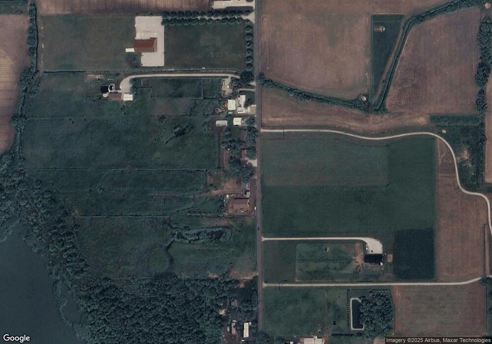
Map
Nearby Homes
- 1223 Park Way
- 1235 Southbrooke Dr
- 365 Country Ln
- 3295 N 980 W
- 9155 W 360 N
- 3360 N 980 W
- 3820 N 760 W
- 4950 W 100 N
- 5980 N 1080 W
- 52690 Rachael Ct
- 53982 Midnight Star
- 11306 Fishers Pond
- 0 Brittany Ct Unit 202535246
- 0 Brittany Ct Unit 202535245
- 306 Dawn Estates Dr
- 10235 W 750 N
- 525 S Main St
- 7185 N 1150 W
- 10039 County Road 4 Unit 25
- 53048 State Road 13