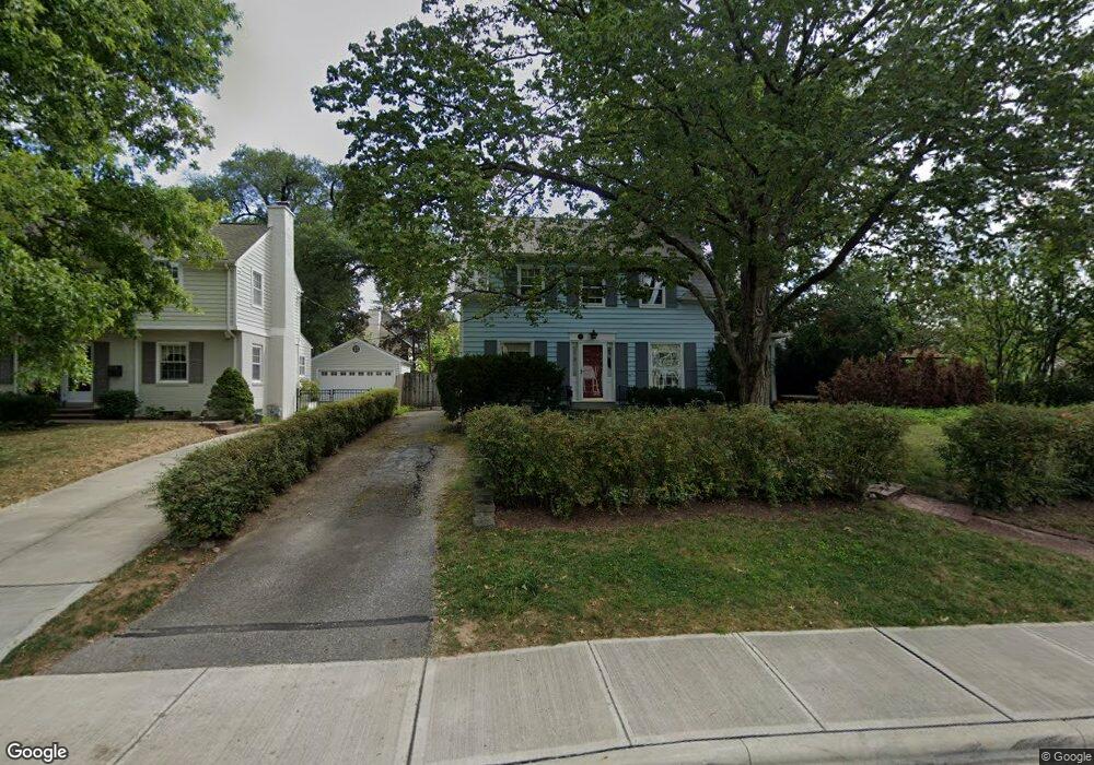
1940 N Devon Rd Columbus, OH 43212
Estimated Value: $568,840 - $724,000
3
Beds
2
Baths
1,711
Sq Ft
$378/Sq Ft
Est. Value
About This Home
This home is located at 1940 N Devon Rd, Columbus, OH 43212 and is currently estimated at $646,960, approximately $378 per square foot. 1940 N Devon Rd is a home located in Franklin County with nearby schools including Barrington Road Elementary School, Jones Middle School, and Upper Arlington High School.
Ownership History
Date
Name
Owned For
Owner Type
Purchase Details
Closed on
Apr 28, 2000
Sold by
Moutvic Ronald R and Moutvic Elizabeth L
Bought by
Grev Roger S and Toft Donna L
Current Estimated Value
Home Financials for this Owner
Home Financials are based on the most recent Mortgage that was taken out on this home.
Original Mortgage
$150,000
Outstanding Balance
$49,092
Interest Rate
8.24%
Estimated Equity
$597,868
Purchase Details
Closed on
Jun 5, 1973
Bought by
Moutvic Ronald R
Create a Home Valuation Report for This Property
The Home Valuation Report is an in-depth analysis detailing your home's value as well as a comparison with similar homes in the area
Home Values in the Area
Average Home Value in this Area
Purchase History
| Date | Buyer | Sale Price | Title Company |
|---|---|---|---|
| Grev Roger S | $204,000 | Chicago Title | |
| Moutvic Ronald R | -- | -- |
Source: Public Records
Mortgage History
| Date | Status | Borrower | Loan Amount |
|---|---|---|---|
| Open | Grev Roger S | $150,000 |
Source: Public Records
Tax History
| Year | Tax Paid | Tax Assessment Tax Assessment Total Assessment is a certain percentage of the fair market value that is determined by local assessors to be the total taxable value of land and additions on the property. | Land | Improvement |
|---|---|---|---|---|
| 2025 | $10,232 | $176,750 | $85,750 | $91,000 |
| 2024 | $10,232 | $176,750 | $85,750 | $91,000 |
| 2023 | $10,106 | $176,750 | $85,750 | $91,000 |
| 2022 | $10,449 | $149,530 | $71,230 | $78,300 |
| 2021 | $9,249 | $149,530 | $71,230 | $78,300 |
| 2020 | $9,168 | $149,530 | $71,230 | $78,300 |
| 2019 | $9,347 | $134,790 | $71,230 | $63,560 |
| 2018 | $8,248 | $134,790 | $71,230 | $63,560 |
| 2017 | $8,291 | $134,790 | $71,230 | $63,560 |
| 2016 | $7,208 | $107,520 | $55,300 | $52,220 |
| 2015 | $7,202 | $107,520 | $55,300 | $52,220 |
| 2014 | $7,111 | $107,520 | $55,300 | $52,220 |
| 2013 | $3,444 | $97,720 | $50,260 | $47,460 |
Source: Public Records
Map
Nearby Homes
- 1780 Waltham Rd
- 1951 Glenn Ave
- 2151 Fairfax Rd
- 2208 Arlington Ave
- 2015 W 5th Ave Unit 211
- 2015 W 5th Ave Unit 102
- 2015 W 5th Ave Unit 108
- 1960 Hillside Dr
- 1810 Ashland Ave
- 1585 Arlington Ave Unit 1585A
- 1579 Arlington Ave Unit 1579B
- 1561 Glenn Ave
- 1869 Tewksbury Rd
- 2015 Hillside Dr
- 1530 Lincoln Rd
- 1523 Wyandotte Rd
- 1606 Elmwood Ave
- 1654-1656 Ashland Ave
- 1648 Ashland Ave
- 1624 Ashland Ave
- 1882 Stanford Rd
- 1950 N Devon Rd
- 1954 N Devon Rd
- 1872 Stanford Rd
- 1935 N Devon Rd
- 1949 Coventry Rd
- 1933 Coventry Rd
- 1897 Stanford Rd
- 1945 N Devon Rd
- 1881 Stanford Rd
- 1955 Coventry Rd
- 1955 N Devon Rd
- 1968 N Devon Rd
- 1963 N Devon Rd
- 1915 N Devon Rd
- 1957 Coventry Rd
- 1915 Coventry Rd
- 1908 N Devon Rd
- 1922 Stanford Rd
- 1911 Edgemont Rd
Your Personal Tour Guide
Ask me questions while you tour the home.