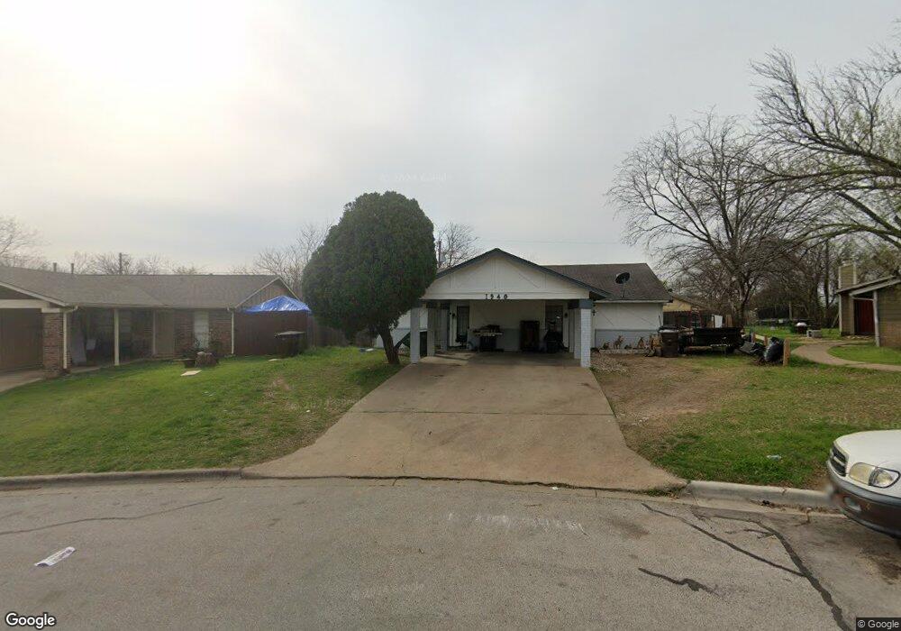
1940 Nicole Cir Unit A Round Rock, TX 78664
Stony Point NeighborhoodEstimated Value: $312,805 - $387,000
2
Beds
1
Bath
1,608
Sq Ft
$223/Sq Ft
Est. Value
About This Home
This home is located at 1940 Nicole Cir Unit A, Round Rock, TX 78664 and is currently estimated at $357,951, approximately $222 per square foot. 1940 Nicole Cir Unit A is a home located in Williamson County with nearby schools including Claude Berkman Elementary School, C D Fulkes Middle, and Cedar Ridge High School.
Ownership History
Date
Name
Owned For
Owner Type
Purchase Details
Closed on
May 11, 2012
Sold by
Schroer Ronald B and Schroer Jean C
Bought by
Argaez Morales Luis E
Current Estimated Value
Home Financials for this Owner
Home Financials are based on the most recent Mortgage that was taken out on this home.
Original Mortgage
$87,301
Outstanding Balance
$12,108
Interest Rate
3.5%
Mortgage Type
FHA
Estimated Equity
$345,843
Create a Home Valuation Report for This Property
The Home Valuation Report is an in-depth analysis detailing your home's value as well as a comparison with similar homes in the area
Home Values in the Area
Average Home Value in this Area
Purchase History
| Date | Buyer | Sale Price | Title Company |
|---|---|---|---|
| Argaez Morales Luis E | -- | Chicago Title |
Source: Public Records
Mortgage History
| Date | Status | Borrower | Loan Amount |
|---|---|---|---|
| Open | Argaez Morales Luis E | $87,301 |
Source: Public Records
Tax History Compared to Growth
Tax History
| Year | Tax Paid | Tax Assessment Tax Assessment Total Assessment is a certain percentage of the fair market value that is determined by local assessors to be the total taxable value of land and additions on the property. | Land | Improvement |
|---|---|---|---|---|
| 2025 | $5,225 | $335,634 | $77,000 | $258,634 |
| 2024 | $5,225 | $347,511 | $77,000 | $270,511 |
| 2023 | $4,864 | $331,602 | $0 | $0 |
| 2022 | $6,242 | $329,142 | $0 | $0 |
| 2021 | $6,101 | $271,813 | $59,000 | $221,141 |
| 2020 | $5,449 | $241,400 | $53,278 | $189,991 |
| 2019 | $5,174 | $224,126 | $48,600 | $181,897 |
| 2018 | $4,385 | $204,383 | $41,730 | $169,076 |
| 2017 | $4,297 | $182,389 | $39,000 | $145,815 |
| 2016 | $3,854 | $163,604 | $39,000 | $124,604 |
| 2015 | $2,761 | $157,802 | $33,000 | $124,802 |
| 2014 | $2,761 | $117,327 | $0 | $0 |
Source: Public Records
Map
Nearby Homes
- 1800 Nicole Cir Unit A
- 1800 Nicole Cir Unit B
- 1606 Dale Cove
- 1990 Interstate 35
- 310 Barrhall Dr
- 2009 Greenhill Dr
- 350 Chisholm Pkwy
- 510 Heather Dr
- 504 Virginia Dr
- 1910 Andover Dr
- 509 Andover Cove
- 1204 Peachtree Valley Dr
- 1407 Peachtree Valley Dr
- 1703 Greyson Dr
- 1400 Meadows Dr
- 409 Cypress Ln
- 515 Sierra Cove
- 909 Wonder St
- 602 Lilac Dr
- 609 Clearwater Trail
- 1940 Nicole Cir
- 1938 Nicole Cir Unit A
- 1938 Nicole Cir Unit B
- 1938 Nicole Cir
- 1942 Nicole Cir
- 104 Nicole Cove Unit B
- 104 Nicole Cove Unit A
- 104 Nicole Cove
- 102 Nicole Cove
- 102 Nicole Cove Unit B
- 102 Nicole Cove Unit A
- 1944 Nicole Cir
- 1944 Nicole Cir Unit A
- 1944 Nicole Cir Unit B
- 1936 Nicole Cir Unit B
- 1936 Nicole Cir
- 1935 Nicole Cir
- 106 Nicole Cove Unit B
- 106 Nicole Cove Unit A
- 100 Nicole Cove