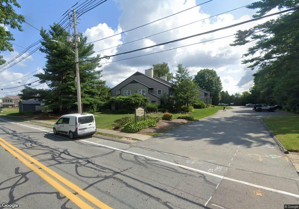
1940 Phillips Rd Unit 15 New Bedford, MA 02745
Estimated Value: $259,000 - $297,000
2
Beds
1
Bath
766
Sq Ft
$356/Sq Ft
Est. Value
About This Home
This home is located at 1940 Phillips Rd Unit 15, New Bedford, MA 02745 and is currently estimated at $272,812, approximately $356 per square foot. 1940 Phillips Rd Unit 15 is a home located in Bristol County with nearby schools including Casimir Pulaski Elementary School, Normandin Middle School, and New Bedford High School.
Ownership History
Date
Name
Owned For
Owner Type
Purchase Details
Closed on
Jul 11, 2008
Sold by
Brunelle Muriel C
Bought by
Muriel C Brunelle Irt and Connolly Luann M
Current Estimated Value
Purchase Details
Closed on
Feb 7, 2005
Sold by
Mchenry Corey F
Bought by
Brunelle Muriel
Purchase Details
Closed on
May 13, 2004
Sold by
Costa Dolores E
Bought by
Mchenry Corey F
Home Financials for this Owner
Home Financials are based on the most recent Mortgage that was taken out on this home.
Original Mortgage
$103,000
Interest Rate
5.47%
Mortgage Type
Purchase Money Mortgage
Purchase Details
Closed on
Feb 23, 2001
Sold by
Keane Christopher M
Bought by
Costa Dolores E
Purchase Details
Closed on
Jan 31, 1997
Sold by
Bessette Mar E
Bought by
White Christopher A
Purchase Details
Closed on
Jul 18, 1994
Sold by
Foster Marcia L
Bought by
Bessette Marc E
Create a Home Valuation Report for This Property
The Home Valuation Report is an in-depth analysis detailing your home's value as well as a comparison with similar homes in the area
Home Values in the Area
Average Home Value in this Area
Purchase History
| Date | Buyer | Sale Price | Title Company |
|---|---|---|---|
| Muriel C Brunelle Irt | -- | -- | |
| Muriel C Brunelle Irt | -- | -- | |
| Brunelle Muriel | $165,000 | -- | |
| Brunelle Muriel | $165,000 | -- | |
| Mchenry Corey F | $130,000 | -- | |
| Mchenry Corey F | $130,000 | -- | |
| Costa Dolores E | $65,000 | -- | |
| Costa Dolores E | $65,000 | -- | |
| White Christopher A | $51,500 | -- | |
| White Christopher A | $51,500 | -- | |
| Bessette Marc E | $49,000 | -- | |
| Bessette Marc E | $49,000 | -- |
Source: Public Records
Mortgage History
| Date | Status | Borrower | Loan Amount |
|---|---|---|---|
| Previous Owner | Bessette Marc E | $103,000 |
Source: Public Records
Tax History Compared to Growth
Tax History
| Year | Tax Paid | Tax Assessment Tax Assessment Total Assessment is a certain percentage of the fair market value that is determined by local assessors to be the total taxable value of land and additions on the property. | Land | Improvement |
|---|---|---|---|---|
| 2025 | $2,522 | $223,000 | $0 | $223,000 |
| 2024 | $2,261 | $188,400 | $0 | $188,400 |
| 2023 | $2,664 | $186,400 | $0 | $186,400 |
| 2022 | $1,930 | $124,200 | $0 | $124,200 |
| 2021 | $1,936 | $124,200 | $0 | $124,200 |
| 2020 | $2,212 | $136,900 | $0 | $136,900 |
| 2019 | $2,136 | $129,700 | $0 | $129,700 |
| 2018 | $1,971 | $118,500 | $0 | $118,500 |
| 2017 | $1,799 | $107,800 | $0 | $107,800 |
| 2016 | $1,598 | $96,900 | $0 | $96,900 |
| 2015 | $1,416 | $90,000 | $0 | $90,000 |
| 2014 | $1,323 | $87,300 | $0 | $87,300 |
Source: Public Records
Map
Nearby Homes
- 145 Heritage Dr
- 210 Heritage Dr
- 62 Longview Rd
- 34 Poplar Rd
- 1063 Westgate St
- 64 Blaze Rd
- SS Charbonneau Ln
- 700 Pine Hill Dr
- 888 Hillcrest Rd
- 13 Luscomb Ln
- 16 Swallow St
- 1069 Cherokee St
- 26 Blueberry Dr
- 1269 Bartlett St
- 1350 Phillips Rd
- 1045 Forbes St
- 40 Nancy St
- 1599 Braley Rd Unit 68
- 2 Woodland Rd
- ES Acushnet Ave
- 1940 Phillips Rd Unit 25
- 1940 Phillips Rd Unit 24
- 1940 Phillips Rd Unit 23
- 1940 Phillips Rd Unit 18
- 1940 Phillips Rd Unit 17
- 1940 Phillips Rd Unit 16
- 1938 Phillips Rd Unit 21
- 1938 Phillips Rd Unit 20
- 1938 Phillips Rd Unit 19
- 1938 Phillips Rd Unit 13
- 1938 Phillips Rd Unit 12
- 1938 Phillips Rd Unit 11
- 1938 Phillips Rd Unit 10
- 1938 Phillips Rd
- 1938 Phillips Rd Unit 18
- 1958 Phillips Rd
- 74 Heritage Ct
- 66 Heritage Ct
- 1884 Phillips Rd
- 28 Heritage Dr