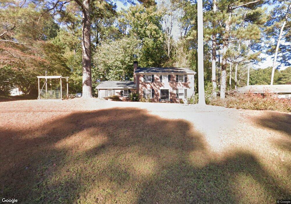
1940 Queens Way Unit 4 Atlanta, GA 30341
Estimated Value: $621,000 - $757,000
4
Beds
3
Baths
2,298
Sq Ft
$287/Sq Ft
Est. Value
About This Home
This home is located at 1940 Queens Way Unit 4, Atlanta, GA 30341 and is currently estimated at $659,352, approximately $286 per square foot. 1940 Queens Way Unit 4 is a home located in DeKalb County with nearby schools including Montgomery Elementary School, Chamblee Middle School, and Chamblee Charter High School.
Ownership History
Date
Name
Owned For
Owner Type
Purchase Details
Closed on
Nov 18, 2003
Sold by
Schmeelk G Redd and Schmeelk Virginia S
Bought by
Emde Paula G and Emde Roman
Current Estimated Value
Home Financials for this Owner
Home Financials are based on the most recent Mortgage that was taken out on this home.
Original Mortgage
$281,675
Outstanding Balance
$129,950
Interest Rate
5.93%
Mortgage Type
New Conventional
Estimated Equity
$529,402
Create a Home Valuation Report for This Property
The Home Valuation Report is an in-depth analysis detailing your home's value as well as a comparison with similar homes in the area
Home Values in the Area
Average Home Value in this Area
Purchase History
| Date | Buyer | Sale Price | Title Company |
|---|---|---|---|
| Emde Paula G | $296,500 | -- |
Source: Public Records
Mortgage History
| Date | Status | Borrower | Loan Amount |
|---|---|---|---|
| Open | Emde Paula G | $281,675 |
Source: Public Records
Tax History Compared to Growth
Tax History
| Year | Tax Paid | Tax Assessment Tax Assessment Total Assessment is a certain percentage of the fair market value that is determined by local assessors to be the total taxable value of land and additions on the property. | Land | Improvement |
|---|---|---|---|---|
| 2025 | $6,438 | $212,320 | $91,240 | $121,080 |
| 2024 | $6,089 | $203,200 | $91,240 | $111,960 |
| 2023 | $6,089 | $196,720 | $91,240 | $105,480 |
| 2022 | $5,034 | $164,760 | $91,240 | $73,520 |
| 2021 | $4,334 | $144,560 | $91,240 | $53,320 |
| 2020 | $4,130 | $134,720 | $77,320 | $57,400 |
| 2019 | $4,618 | $149,040 | $77,320 | $71,720 |
| 2018 | $4,439 | $150,520 | $77,320 | $73,200 |
| 2017 | $5,431 | $133,320 | $50,040 | $83,280 |
| 2016 | $3,869 | $112,000 | $50,040 | $61,960 |
| 2014 | $2,937 | $125,120 | $50,040 | $75,080 |
Source: Public Records
Map
Nearby Homes
- 1959 Queens Way
- 1905 Gainsborough Dr
- 1850 Cotillion Dr Unit 2304
- 1850 Cotillion Dr Unit 3307
- 1850 Cotillion Dr Unit 3221
- 1850 Cotillion Dr Unit 3215
- 1850 Cotillion Dr Unit 3304
- 1850 Cotillion Dr Unit 1414
- 1850 Cotillion Dr Unit 1408
- 4333 Dunwoody Park Unit 2202
- 1848 Preserve Way
- 4280 Kingston Gate Cove
- 101 Mission Way SE
- 105 Mission Way
- 208 Mission Way
- 2271 Pernoshal Ct
- 1967 Commodore Ln
- 1888 Pointe Place Ave
- 4045 Ivey Gate Unit 2
- 3998 Commodore Dr
- 1932 Queens Way Unit 4
- 1948 Queens Way
- 1946 Royal Ct
- 1924 Queens Way
- 1935 Queens Way
- 1943 Queens Way
- 1949 Royal Ct
- 1941 Royal Ct
- 1954 Royal Ct
- 1958 Queens Way
- 1919 Queens Way Unit 4
- 1951 Queens Way
- 1916 Queens Way Unit 4
- 1957 Royal Ct
- 1960 Royal Ct
- 1966 Queens Way
- 2007 Gainsborough Dr
- 2015 Gainsborough Dr
- 2027 Gainsborough Dr
- 1908 Queens Way Unit 4