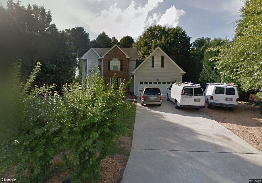
1940 Rocksram Dr Unit 1 Buford, GA 30519
Estimated Value: $360,000 - $403,000
4
Beds
3
Baths
2,472
Sq Ft
$155/Sq Ft
Est. Value
About This Home
This home is located at 1940 Rocksram Dr Unit 1, Buford, GA 30519 and is currently estimated at $383,694, approximately $155 per square foot. 1940 Rocksram Dr Unit 1 is a home located in Gwinnett County with nearby schools including Woodward Mill Elementary School, Twin Rivers Middle School, and Mountain View High School.
Ownership History
Date
Name
Owned For
Owner Type
Purchase Details
Closed on
Aug 16, 2017
Sold by
Teague James R
Bought by
Teague Family Rev Liv Tr
Current Estimated Value
Purchase Details
Closed on
Jan 20, 2011
Sold by
Verberkmoes Michael and Verberkmoes Chelsea A
Bought by
Teague James and Teague Elizabeth
Purchase Details
Closed on
Jun 24, 2005
Sold by
Mangum James R
Bought by
Verberkmoes Michael and Verberkmoes Chelsea
Home Financials for this Owner
Home Financials are based on the most recent Mortgage that was taken out on this home.
Original Mortgage
$33,600
Interest Rate
5.57%
Mortgage Type
Stand Alone Refi Refinance Of Original Loan
Purchase Details
Closed on
Jun 25, 1998
Sold by
Ballew Harold C and Ballew Dina M
Bought by
Mangum James R
Home Financials for this Owner
Home Financials are based on the most recent Mortgage that was taken out on this home.
Original Mortgage
$113,000
Interest Rate
7.1%
Mortgage Type
New Conventional
Create a Home Valuation Report for This Property
The Home Valuation Report is an in-depth analysis detailing your home's value as well as a comparison with similar homes in the area
Home Values in the Area
Average Home Value in this Area
Purchase History
| Date | Buyer | Sale Price | Title Company |
|---|---|---|---|
| Teague Family Rev Liv Tr | -- | -- | |
| Teague James | $102,000 | -- | |
| Verberkmoes Michael | $168,000 | -- | |
| Mangum James R | $116,500 | -- |
Source: Public Records
Mortgage History
| Date | Status | Borrower | Loan Amount |
|---|---|---|---|
| Previous Owner | Verberkmoes Michael | $33,600 | |
| Previous Owner | Mangum James R | $113,000 |
Source: Public Records
Tax History
| Year | Tax Paid | Tax Assessment Tax Assessment Total Assessment is a certain percentage of the fair market value that is determined by local assessors to be the total taxable value of land and additions on the property. | Land | Improvement |
|---|---|---|---|---|
| 2025 | -- | $161,960 | $23,920 | $138,040 |
| 2024 | $5,754 | $151,280 | $28,000 | $123,280 |
| 2023 | $5,754 | $147,880 | $28,000 | $119,880 |
| 2022 | $0 | $102,520 | $16,000 | $86,520 |
| 2021 | $0 | $93,040 | $16,000 | $77,040 |
| 2020 | $0 | $93,040 | $16,000 | $77,040 |
| 2019 | $3,066 | $87,960 | $16,000 | $71,960 |
| 2018 | $3,268 | $83,960 | $16,000 | $67,960 |
| 2016 | $0 | $67,840 | $12,400 | $55,440 |
| 2015 | $2,377 | $57,360 | $8,400 | $48,960 |
| 2014 | -- | $57,360 | $8,400 | $48,960 |
Source: Public Records
Map
Nearby Homes
- 1880 Rocksram Dr Unit 1
- 2317 Rocksram Ct
- 2375 Rock Springs Rd
- 2242 Rocksram Ct
- 2220 Sunny Hill Rd
- 2469 Rock Springs Rd Unit LOT 2
- 2469 Rock Springs Rd
- 2199 Sunny Hill Rd
- 2473 Rock Springs Rd
- 2473 Rock Springs Rd Unit LOT 4
- 2159 Sunny Hill Rd
- 1948 Trestlebrook Way Unit 3
- 1521 Jami Hollow Way
- 2510 Sunny Hill Rd
- 1845 Hanover West Dr
- 1876 Hanover West Dr
- 1975 Wynfield Point Dr
- 1677 Old Peachtree Rd
- 2012 Arbor Springs Way
- 2596 Gristhaven Ln
- 1930 Rocksram Dr Unit 1
- 1950 Rocksram Dr Unit 2
- 1960 Rocksram Dr
- 1920 Rocksram Dr Unit 1
- 1945 Rocksram Dr Unit 1
- 1935 Rocksram Dr
- 1925 Rocksram Dr
- 1955 Rocksram Dr
- 1939 Manor Oak Ln
- 1970 Rocksram Dr
- 1949 Manor Oak Ln Unit 18
- 1949 Manor Oak Ln
- 1929 Manor Oak Ln
- 1965 Rocksram Dr
- 1959 Manor Oak Ln Unit 1
- 1915 Rocksram Dr Unit 1
- 1919 Manor Oak Ln Unit 1
- 1969 Manor Oak Ln Unit 1
- 1975 Rocksram Dr
- 1980 Rocksram Dr
Your Personal Tour Guide
Ask me questions while you tour the home.