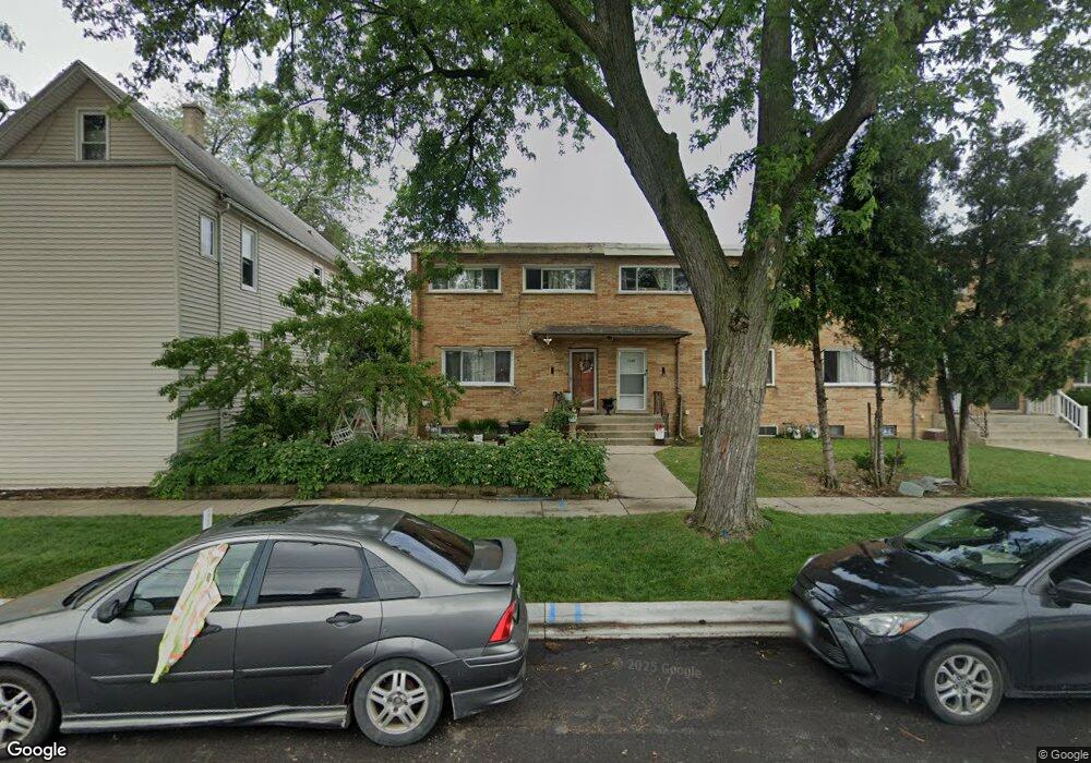
1940 S Chestnut St Des Plaines, IL 60018
Estimated Value: $243,000 - $273,000
3
Beds
2
Baths
1,166
Sq Ft
$223/Sq Ft
Est. Value
About This Home
This home is located at 1940 S Chestnut St, Des Plaines, IL 60018 and is currently estimated at $259,731, approximately $222 per square foot. 1940 S Chestnut St is a home located in Cook County with nearby schools including Plainfield Elementary School, Algonquin Middle School, and Maine West High School.
Ownership History
Date
Name
Owned For
Owner Type
Purchase Details
Closed on
Jun 4, 2025
Sold by
Serrano Candido and Patino Gabriela
Bought by
Campos Vanessa
Current Estimated Value
Purchase Details
Closed on
Jan 17, 2009
Sold by
Ferrusguia Serrano Candido and Ferrusguia De Serrano Adelaida
Bought by
Serrano Candido and Patino Gabriela
Purchase Details
Closed on
Jun 11, 2001
Sold by
Covalschi Mihai and Covalschi Cornelia
Bought by
Serrano Candido
Home Financials for this Owner
Home Financials are based on the most recent Mortgage that was taken out on this home.
Original Mortgage
$124,000
Interest Rate
10%
Create a Home Valuation Report for This Property
The Home Valuation Report is an in-depth analysis detailing your home's value as well as a comparison with similar homes in the area
Home Values in the Area
Average Home Value in this Area
Purchase History
| Date | Buyer | Sale Price | Title Company |
|---|---|---|---|
| Campos Vanessa | $140,000 | None Listed On Document | |
| Serrano Candido | -- | None Available | |
| Serrano Candido | $155,000 | -- |
Source: Public Records
Mortgage History
| Date | Status | Borrower | Loan Amount |
|---|---|---|---|
| Previous Owner | Serrano Candido | $124,000 |
Source: Public Records
Tax History
| Year | Tax Paid | Tax Assessment Tax Assessment Total Assessment is a certain percentage of the fair market value that is determined by local assessors to be the total taxable value of land and additions on the property. | Land | Improvement |
|---|---|---|---|---|
| 2025 | $4,135 | $24,000 | $7,876 | $16,124 |
| 2024 | $4,135 | $19,000 | $3,000 | $16,000 |
| 2023 | $4,009 | $19,000 | $3,000 | $16,000 |
| 2022 | $4,009 | $19,000 | $3,000 | $16,000 |
| 2021 | $3,483 | $14,661 | $3,347 | $11,314 |
| 2020 | $3,493 | $14,661 | $3,347 | $11,314 |
| 2019 | $3,511 | $16,474 | $3,347 | $13,127 |
| 2018 | $3,546 | $15,291 | $2,953 | $12,338 |
| 2017 | $3,501 | $15,291 | $2,953 | $12,338 |
| 2016 | $3,555 | $15,291 | $2,953 | $12,338 |
| 2015 | $3,158 | $13,068 | $2,559 | $10,509 |
| 2014 | $3,107 | $13,068 | $2,559 | $10,509 |
| 2013 | $3,012 | $13,068 | $2,559 | $10,509 |
Source: Public Records
Map
Nearby Homes
- 1445 Everett Ave
- 1696 S Elm St
- 1689 S Elm St
- 1370 Fargo Ave Unit E
- 1645 Illinois St
- 2220 S Chestnut St
- 1721 Prospect Ave
- 1080 Bogart St
- 1629 E Touhy Ave
- 1641 E Touhy Ave
- 1922 Fargo Ave
- 815 E Oakton St Unit 311
- 1640 S River Rd
- 1700 E Forest Ave
- 635 Birchwood Ave
- 1458 Kingston Ct
- 1394 Carol Ln
- 1738 Lunt Ave
- 614 Birchwood Ave
- 2323 Douglas Ave
- 1936 S Chestnut St
- 1944 S Chestnut St
- 1932 S Chestnut St
- 1928 S Chestnut St
- 1952 S Chestnut St
- 1960 S Chestnut St
- 1939 Pine St
- 1933 Pine St
- 1964 S Chestnut St
- 1387 Prospect Ave
- 1968 S Chestnut St
- 1383 Prospect Ave Unit A
- 1383 Prospect Ave
- 1371 Prospect Ave
- 1957 Pine St
- 1972 S Chestnut St
- 1976 S Chestnut St
- 1969 Pine St
- 1969 Pine St
- 1900 Mannheim Rd
Your Personal Tour Guide
Ask me questions while you tour the home.