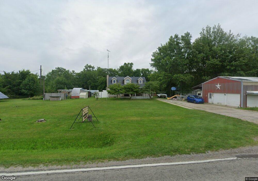
1940 Section Line Road 30 Bellevue, OH 44811
Estimated Value: $208,000 - $428,000
2
Beds
2
Baths
1,514
Sq Ft
$181/Sq Ft
Est. Value
About This Home
This home is located at 1940 Section Line Road 30, Bellevue, OH 44811 and is currently estimated at $273,304, approximately $180 per square foot. 1940 Section Line Road 30 is a home located in Huron County with nearby schools including Seneca East Elementary School and Seneca East High School.
Ownership History
Date
Name
Owned For
Owner Type
Purchase Details
Closed on
Jun 27, 2002
Sold by
Smith Paul J
Bought by
Brown Dale C and Brown Toni L
Current Estimated Value
Home Financials for this Owner
Home Financials are based on the most recent Mortgage that was taken out on this home.
Original Mortgage
$123,500
Outstanding Balance
$53,170
Interest Rate
6.93%
Mortgage Type
New Conventional
Estimated Equity
$220,134
Purchase Details
Closed on
May 22, 1998
Bought by
Smith Paul J
Purchase Details
Closed on
Jul 18, 1990
Bought by
Smith Paul J
Create a Home Valuation Report for This Property
The Home Valuation Report is an in-depth analysis detailing your home's value as well as a comparison with similar homes in the area
Home Values in the Area
Average Home Value in this Area
Purchase History
| Date | Buyer | Sale Price | Title Company |
|---|---|---|---|
| Brown Dale C | $130,000 | -- | |
| Smith Paul J | -- | -- | |
| Smith Paul J | $62,000 | -- |
Source: Public Records
Mortgage History
| Date | Status | Borrower | Loan Amount |
|---|---|---|---|
| Open | Brown Dale C | $123,500 |
Source: Public Records
Tax History Compared to Growth
Tax History
| Year | Tax Paid | Tax Assessment Tax Assessment Total Assessment is a certain percentage of the fair market value that is determined by local assessors to be the total taxable value of land and additions on the property. | Land | Improvement |
|---|---|---|---|---|
| 2024 | $2,367 | $68,940 | $6,950 | $61,990 |
| 2023 | $2,367 | $47,930 | $5,010 | $42,920 |
| 2022 | $1,955 | $47,930 | $5,010 | $42,920 |
| 2021 | $1,957 | $47,930 | $5,010 | $42,920 |
| 2020 | $1,788 | $43,840 | $5,010 | $38,830 |
| 2019 | $1,700 | $43,840 | $5,010 | $38,830 |
| 2018 | $1,615 | $43,840 | $5,010 | $38,830 |
| 2017 | $1,336 | $38,070 | $5,010 | $33,060 |
| 2016 | $1,312 | $38,070 | $5,010 | $33,060 |
| 2015 | $1,311 | $38,070 | $5,010 | $33,060 |
| 2014 | $1,201 | $36,790 | $5,010 | $31,780 |
| 2013 | $1,359 | $36,790 | $5,010 | $31,780 |
Source: Public Records
Map
Nearby Homes
- 3851 Everingin Rd
- 644 Ohio 99
- 4365 N Greenfield Rd
- 7740 Washington St
- 3050 E Main St
- 140 Hobson St
- 88 W Broad St
- 98 West St
- 817 E Main St
- 501 E Center St
- 196 Ridge St N
- 111 Park Ave
- 140 Harkness St
- 9 Herrick Alley
- 17 Hollister St
- 206 Southwest St
- 2 Eagle View Dr
- 736 Kilbourne St
- 720 Kilbourne St
- 881 Flat Rock Rd
- 1933 Section Line Road 30
- 1988 Section Line Road 30
- 1988 Section Line Road 30
- 1963 Section Line Road 30
- 1990 Section Line Road 30
- 1985 Section Line Road 30
- 1985 Section Line Road 30
- 2050 Section Line Road 30
- 2100 Section Line Road 30
- 2045 Section Line Road 30
- 1714 Section Line Road 30
- 2236 Section Line Road 30
- 2257 Section Line Road 30
- 2048 Section Line Road 30
- 2429 Section Line Road 30
- 2428 Section Line Road 30