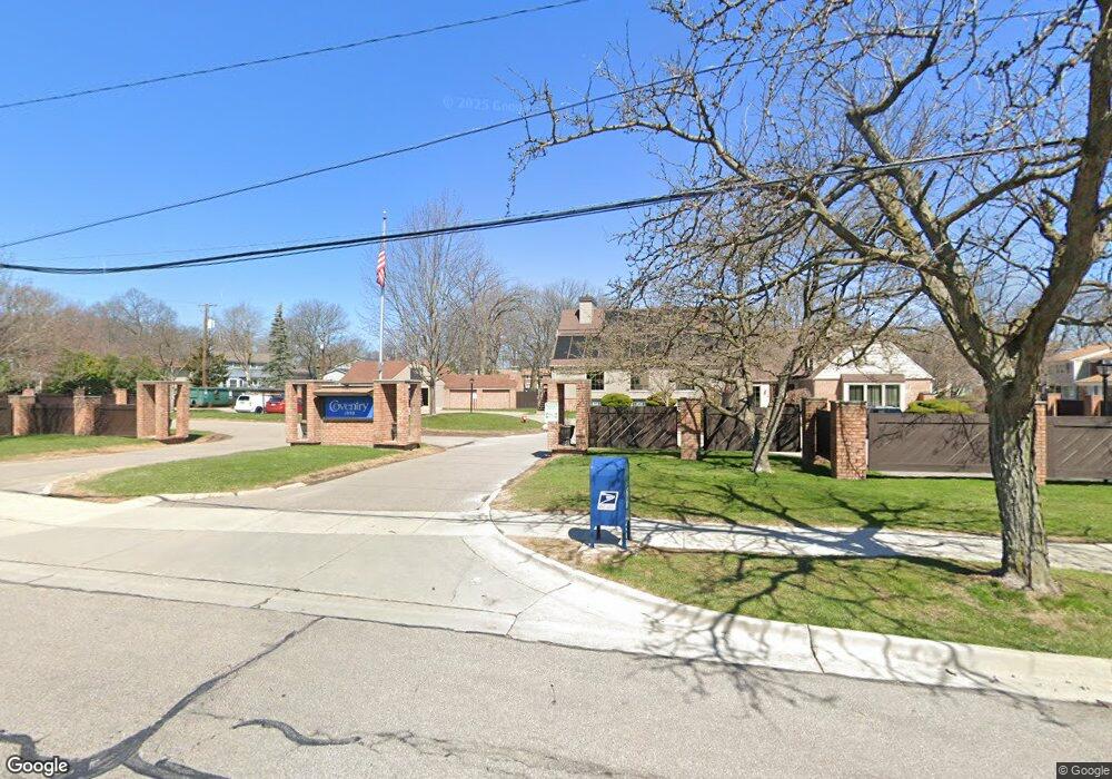
1940 Torquay Ave Unit 203 Royal Oak, MI 48073
Estimated Value: $204,702 - $228,000
2
Beds
2
Baths
1,040
Sq Ft
$212/Sq Ft
Est. Value
About This Home
This home is located at 1940 Torquay Ave Unit 203, Royal Oak, MI 48073 and is currently estimated at $220,426, approximately $211 per square foot. 1940 Torquay Ave Unit 203 is a home located in Oakland County with nearby schools including Alfred E. Upton Elementary School, Royal Oak Middle School, and Royal Oak High School.
Ownership History
Date
Name
Owned For
Owner Type
Purchase Details
Closed on
Aug 20, 2008
Sold by
Mortgage Electronic Registration Systems
Bought by
Federal National Mortgage Association
Current Estimated Value
Purchase Details
Closed on
Aug 19, 2008
Sold by
Luther Rhonda R
Bought by
Mortgage Electronic Registration Systems
Purchase Details
Closed on
Aug 16, 2001
Sold by
Cato Janet
Bought by
Luther Rhonda R
Home Financials for this Owner
Home Financials are based on the most recent Mortgage that was taken out on this home.
Original Mortgage
$127,700
Interest Rate
7.06%
Create a Home Valuation Report for This Property
The Home Valuation Report is an in-depth analysis detailing your home's value as well as a comparison with similar homes in the area
Home Values in the Area
Average Home Value in this Area
Purchase History
| Date | Buyer | Sale Price | Title Company |
|---|---|---|---|
| Federal National Mortgage Association | -- | None Available | |
| Mortgage Electronic Registration Systems | $124,283 | None Available | |
| Luther Rhonda R | $141,900 | -- |
Source: Public Records
Mortgage History
| Date | Status | Borrower | Loan Amount |
|---|---|---|---|
| Previous Owner | Luther Rhonda R | $127,700 |
Source: Public Records
Tax History Compared to Growth
Tax History
| Year | Tax Paid | Tax Assessment Tax Assessment Total Assessment is a certain percentage of the fair market value that is determined by local assessors to be the total taxable value of land and additions on the property. | Land | Improvement |
|---|---|---|---|---|
| 2024 | $1,247 | $83,030 | $0 | $0 |
| 2022 | $1,473 | $73,940 | $0 | $0 |
| 2020 | $1,211 | $64,880 | $0 | $0 |
| 2018 | $1,473 | $54,580 | $0 | $0 |
| 2017 | $1,417 | $54,580 | $0 | $0 |
| 2015 | -- | $38,580 | $0 | $0 |
| 2014 | -- | $38,030 | $0 | $0 |
| 2011 | -- | $33,310 | $0 | $0 |
Source: Public Records
Map
Nearby Homes
- 4909 Coventry St Unit 287
- 1806 Torquay Ave
- 1936 Torquay Ave Unit 205
- 4952 Coventry St Unit 315
- 4921 N Crooks Rd Unit N-10
- 4909 Crooks Rd Unit C7
- 4909 Crooks Rd Unit 4
- 4921 Crooks Rd Unit M-10
- 5011 Thorncroft Ave
- 2440 Parmenter Blvd Unit 112
- 2420 Parmenter Blvd Unit 101
- 4859 Mansfield Ave Unit H5
- 4830 Briarwood Ave Unit 2
- 4859 Mansfield Ave Unit H-06
- 4910 Briarwood Ave Unit A 1
- 4820 Briarwood Ave Unit 4
- 4840 Briarwood Ave Unit 8
- 846 Phillips Ave
- 908 W Elmwood Ave
- 2344 W 14 Mile Rd Unit 7
- 1934 Torquay Ave Unit 206
- 1960 Torquay Ave
- 1931 Wickham St
- 1910 Torquay Ave
- 1951 Wickham St
- 1900 Torquay Ave
- 1900 Torquay Ave Unit 60 173
- 1900 Torquay Ave Unit 173
- 1743 Wickham St Unit 164
- 1878 Newporte Ct Unit 243
- 4908 Cara Ct Unit 347
- 2104 Wickham St Unit 10
- 1986 Ridge Ct Unit 221
- 1996 Seabright Ct Unit 294
- 4937 Cara Ct Unit 333
- 1888 Newporte Ct Unit 237
- 2042 Wickham St Unit 19
- 1884 Newporte Ct Unit 241
- 1784 Wickham St Unit 95
- 1884 Newporte Ct Unit 32, 241