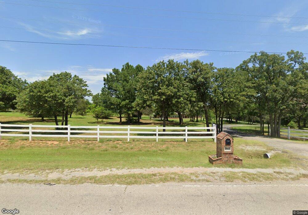
19401 SE 59th St Newalla, OK 74857
Edendale Estates-Newalla NeighborhoodEstimated Value: $443,000 - $548,928
3
Beds
3
Baths
2,281
Sq Ft
$212/Sq Ft
Est. Value
About This Home
This home is located at 19401 SE 59th St, Newalla, OK 74857 and is currently estimated at $483,982, approximately $212 per square foot. 19401 SE 59th St is a home located in Oklahoma County with nearby schools including McLoud Elementary School, McLoud Intermediate School, and McLoud Junior High School.
Ownership History
Date
Name
Owned For
Owner Type
Purchase Details
Closed on
Aug 31, 2005
Sold by
Sinclair Karl L and Sinclair Carmen Goodspeed
Bought by
Fitzgerald Robert Scott
Current Estimated Value
Home Financials for this Owner
Home Financials are based on the most recent Mortgage that was taken out on this home.
Original Mortgage
$170,000
Interest Rate
5.78%
Mortgage Type
Fannie Mae Freddie Mac
Create a Home Valuation Report for This Property
The Home Valuation Report is an in-depth analysis detailing your home's value as well as a comparison with similar homes in the area
Home Values in the Area
Average Home Value in this Area
Purchase History
| Date | Buyer | Sale Price | Title Company |
|---|---|---|---|
| Fitzgerald Robert Scott | $265,000 | First American Title & Tr Co |
Source: Public Records
Mortgage History
| Date | Status | Borrower | Loan Amount |
|---|---|---|---|
| Closed | Fitzgerald Robert Scott | $170,000 |
Source: Public Records
Tax History Compared to Growth
Tax History
| Year | Tax Paid | Tax Assessment Tax Assessment Total Assessment is a certain percentage of the fair market value that is determined by local assessors to be the total taxable value of land and additions on the property. | Land | Improvement |
|---|---|---|---|---|
| 2024 | $4,423 | $43,635 | $5,494 | $38,141 |
| 2023 | $4,423 | $42,364 | $5,737 | $36,627 |
| 2022 | $4,372 | $41,130 | $4,482 | $36,648 |
| 2021 | $5,286 | $39,933 | $4,993 | $34,940 |
| 2020 | $4,121 | $38,770 | $5,184 | $33,586 |
| 2019 | $4,115 | $37,641 | $4,947 | $32,694 |
| 2018 | $4,209 | $36,545 | $0 | $0 |
| 2017 | $4,111 | $35,480 | $5,295 | $30,185 |
| 2016 | $3,633 | $34,446 | $5,358 | $29,088 |
| 2015 | $3,593 | $33,443 | $6,044 | $27,399 |
| 2014 | $3,469 | $32,469 | $6,074 | $26,395 |
Source: Public Records
Map
Nearby Homes
- 4708 Sandy Oak Ln
- 18725 Red Oak Dr
- 4230 Sundance Ln
- 4353 Titan Terrace
- 0 SE Corner Se 59th Peebly St Unit 1194088
- 20841 Booker Ave
- 21962 SE 44th St
- 17903 W Blue Ridge Road Flat W
- 5900 Permian Dr
- 3417 Glastonbury Way
- 21097 River Mist Dr
- RC Wright Plan at River Mist
- RC Kinsley II Plan at River Mist
- RC Raleigh Plan at River Mist
- RC Coleman Plan at River Mist
- RC Foster II Plan at River Mist
- RC Lowell II Plan at River Mist
- RC Carnegie II Plan at River Mist
- 3340 Somerset Farms Rd
- 18297 Chelsea Cir
- 19501 SE 59th St
- 19309 SE 59th St
- 19301 SE 59th St
- 6001 Edendale Dr
- 19229 SE 59th St
- 19609 SE 59th St
- 6000 Edendale Dr
- 5400 Baldwin Ct
- 6101 Edendale Dr
- 19629 SE 59th St
- 19217 SE 59th St
- 5501 Baldwin Ct
- 6100 Edendale Dr
- 19701 SE 59th St
- 6201 Edendale Dr
- 19225 SE 59th St
- 19617 SE 60th St
- 19212 SE 59th St
- 19616 SE 60th St