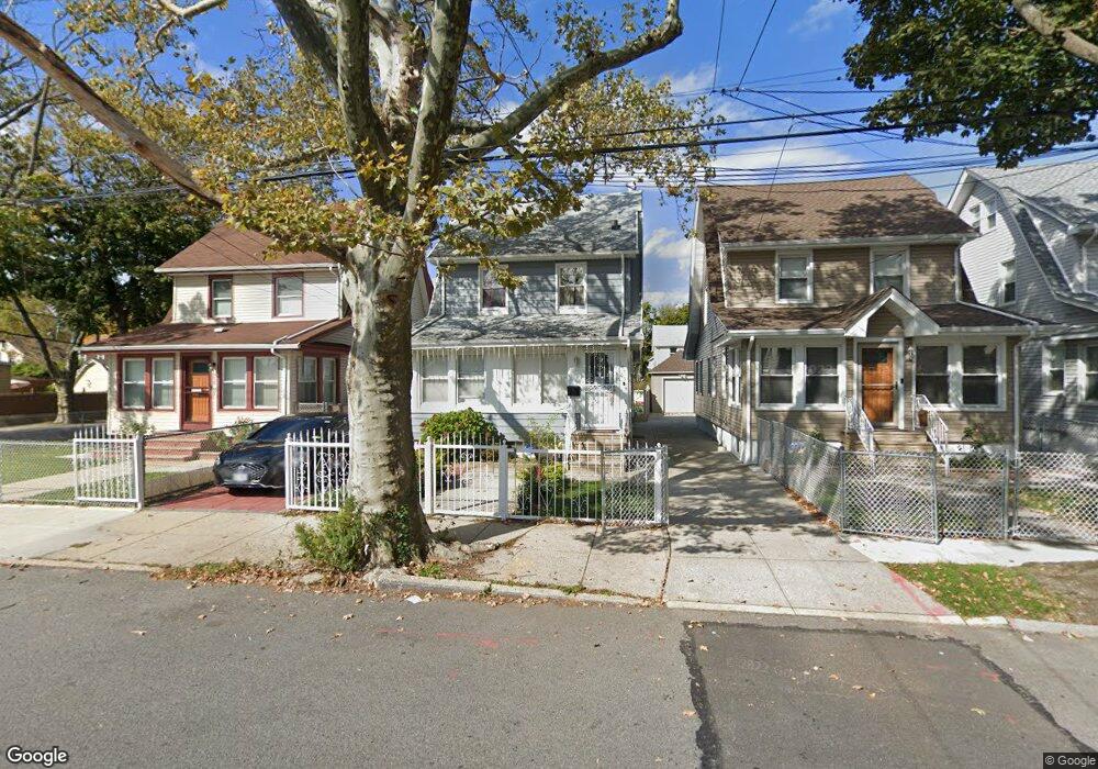
19405 115th Ave Saint Albans, NY 11412
Saint Albans NeighborhoodEstimated Value: $798,000 - $915,000
--
Bed
--
Bath
1,630
Sq Ft
$528/Sq Ft
Est. Value
About This Home
This home is located at 19405 115th Ave, Saint Albans, NY 11412 and is currently estimated at $860,333, approximately $527 per square foot. 19405 115th Ave is a home located in Queens County with nearby schools including P.S. 136 Roy Wilkins, I.S. 192 The Linden, and Riverton Street Charter School.
Ownership History
Date
Name
Owned For
Owner Type
Purchase Details
Closed on
May 14, 2020
Sold by
Sir H Ike Llc
Bought by
Chisholm Joel and Kampta Anuradha
Current Estimated Value
Home Financials for this Owner
Home Financials are based on the most recent Mortgage that was taken out on this home.
Original Mortgage
$726,596
Outstanding Balance
$643,865
Interest Rate
3.3%
Mortgage Type
FHA
Estimated Equity
$216,468
Purchase Details
Closed on
Jan 25, 2019
Sold by
Dikman Esq As Referee David
Bought by
Sir H Ike Llc
Create a Home Valuation Report for This Property
The Home Valuation Report is an in-depth analysis detailing your home's value as well as a comparison with similar homes in the area
Home Values in the Area
Average Home Value in this Area
Purchase History
| Date | Buyer | Sale Price | Title Company |
|---|---|---|---|
| Chisholm Joel | $740,000 | -- | |
| Sir H Ike Llc | $450,000 | -- |
Source: Public Records
Mortgage History
| Date | Status | Borrower | Loan Amount |
|---|---|---|---|
| Open | Chisholm Joel | $726,596 |
Source: Public Records
Tax History Compared to Growth
Tax History
| Year | Tax Paid | Tax Assessment Tax Assessment Total Assessment is a certain percentage of the fair market value that is determined by local assessors to be the total taxable value of land and additions on the property. | Land | Improvement |
|---|---|---|---|---|
| 2025 | $5,570 | $29,393 | $8,980 | $20,413 |
| 2024 | $5,570 | $27,730 | $9,075 | $18,655 |
| 2023 | $5,254 | $26,161 | $9,418 | $16,743 |
| 2022 | $5,013 | $37,800 | $12,960 | $24,840 |
| 2021 | $4,927 | $34,980 | $12,960 | $22,020 |
| 2020 | $5,185 | $30,060 | $12,960 | $17,100 |
| 2019 | $4,834 | $31,980 | $12,960 | $19,020 |
| 2018 | $4,444 | $21,801 | $9,475 | $12,326 |
| 2017 | $3,165 | $20,568 | $10,453 | $10,115 |
| 2016 | $4,112 | $20,568 | $10,453 | $10,115 |
| 2015 | $2,340 | $20,412 | $10,313 | $10,099 |
| 2014 | $2,340 | $19,257 | $11,440 | $7,817 |
Source: Public Records
Map
Nearby Homes
- 191-47 114th Dr
- 19431 114th Rd
- 191-34 114th Rd
- 194-42 Murdock Ave
- 19427 Murdock Ave
- 194-19 115th Rd
- 194-56 Murdock Ave
- 19445 Murdock Ave
- 191-16 114th Rd
- 19432 113th Rd
- 194-34 115th Rd
- 114-22 197th St
- 191-68 115th Rd
- 114-28 198th St
- 114-64 198th St
- 113-40 198th St
- 115-37 197th St
- 189-18 114th Dr
- 18908 114th Rd
- 191-40 112th Rd
- 194-05 115th Ave
- 19407 115th Ave
- 19401 115th Ave
- 19409 115th Ave
- 19411 115th Ave
- 19408 114th Dr
- 19402 114th Dr
- 19412 114th Dr
- 19415 115th Ave
- 19415 115th Ave
- 194-12 114th Dr
- 19153 115th Ave
- 194-08 114th Dr
- 194-08 115th Ave
- 194-17 115th Ave
- 19417 115th Ave
- 19417 115th Ave
- 19150 114th Dr
- 19406 115th Ave
- 191-50 114th Dr