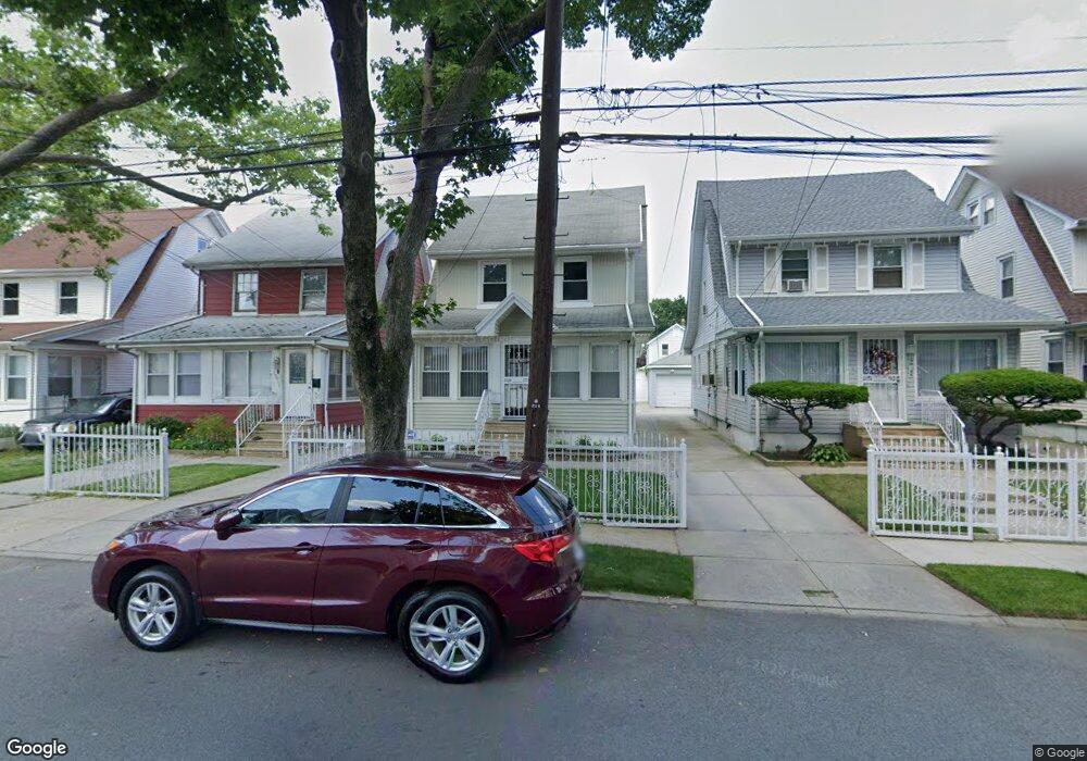
19407 115th Ave Saint Albans, NY 11412
Saint Albans NeighborhoodEstimated Value: $604,416 - $713,000
--
Bed
--
Bath
1,630
Sq Ft
$406/Sq Ft
Est. Value
About This Home
This home is located at 19407 115th Ave, Saint Albans, NY 11412 and is currently estimated at $661,854, approximately $406 per square foot. 19407 115th Ave is a home located in Queens County with nearby schools including P.S. 136 Roy Wilkins, I.S. 192 The Linden, and Riverton Street Charter School.
Ownership History
Date
Name
Owned For
Owner Type
Purchase Details
Closed on
Jul 9, 2002
Sold by
Espinal
Bought by
Bethea Anetta
Current Estimated Value
Home Financials for this Owner
Home Financials are based on the most recent Mortgage that was taken out on this home.
Original Mortgage
$236,500
Outstanding Balance
$99,546
Interest Rate
6.61%
Estimated Equity
$562,308
Create a Home Valuation Report for This Property
The Home Valuation Report is an in-depth analysis detailing your home's value as well as a comparison with similar homes in the area
Home Values in the Area
Average Home Value in this Area
Purchase History
| Date | Buyer | Sale Price | Title Company |
|---|---|---|---|
| Bethea Anetta | -- | -- | |
| Bethea Anetta | -- | -- |
Source: Public Records
Mortgage History
| Date | Status | Borrower | Loan Amount |
|---|---|---|---|
| Open | Bethea Anetta | $236,500 | |
| Closed | Bethea Anetta | $236,500 |
Source: Public Records
Tax History Compared to Growth
Tax History
| Year | Tax Paid | Tax Assessment Tax Assessment Total Assessment is a certain percentage of the fair market value that is determined by local assessors to be the total taxable value of land and additions on the property. | Land | Improvement |
|---|---|---|---|---|
| 2025 | $4,839 | $27,023 | $8,461 | $18,562 |
| 2024 | $4,851 | $25,493 | $7,819 | $17,674 |
| 2023 | $4,549 | $24,050 | $7,219 | $16,831 |
| 2022 | $4,243 | $41,160 | $11,760 | $29,400 |
| 2021 | $4,479 | $37,140 | $11,760 | $25,380 |
| 2020 | $4,471 | $33,660 | $11,760 | $21,900 |
| 2019 | $4,151 | $28,800 | $11,760 | $17,040 |
| 2018 | $3,788 | $20,042 | $8,521 | $11,521 |
| 2017 | $3,555 | $18,909 | $9,174 | $9,735 |
| 2016 | $3,470 | $18,909 | $9,174 | $9,735 |
| 2015 | $1,932 | $18,766 | $9,173 | $9,593 |
| 2014 | $1,932 | $17,704 | $10,375 | $7,329 |
Source: Public Records
Map
Nearby Homes
- 191-47 114th Dr
- 194-19 115th Rd
- 191-34 114th Rd
- 194-23 114th Rd
- 19431 114th Rd
- 194-34 115th Rd
- 191-68 115th Rd
- 194-42 Murdock Ave
- 191-16 114th Rd
- 19427 Murdock Ave
- 194-56 Murdock Ave
- 19445 Murdock Ave
- 114-22 197th St
- 19432 113th Rd
- 114-64 198th St
- 114-28 198th St
- 115-37 197th St
- 11608 196th St
- 11620 194th St
- 196-10 116th Ave
- 19405 115th Ave
- 19409 115th Ave
- 194-05 115th Ave
- 19411 115th Ave
- 19401 115th Ave
- 19415 115th Ave
- 19415 115th Ave
- 19408 114th Dr
- 19412 114th Dr
- 194-17 115th Ave
- 19402 114th Dr
- 19417 115th Ave
- 19417 115th Ave
- 194-08 114th Dr
- 194-12 114th Dr
- 194-08 115th Ave
- 19419 115th Ave
- 19153 115th Ave
- 19408 115th Ave
- 19410 115th Ave