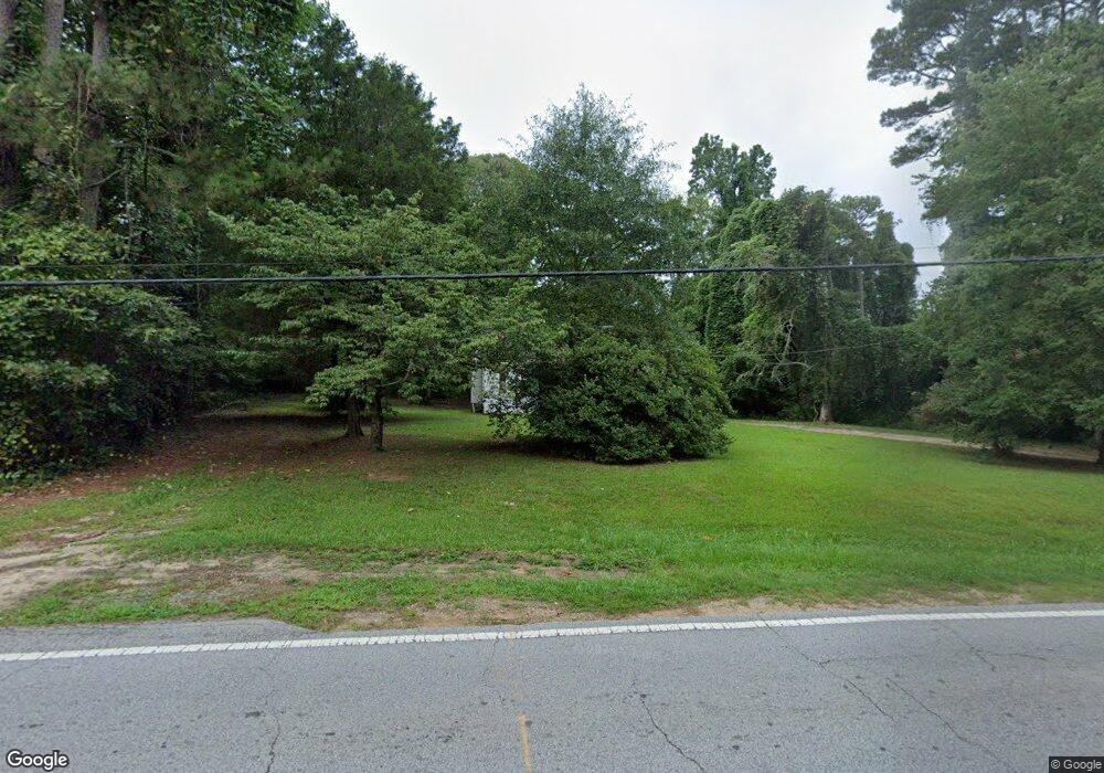
1941 Bethsaida Rd Riverdale, GA 30296
Estimated Value: $181,000 - $237,000
3
Beds
2
Baths
1,088
Sq Ft
$191/Sq Ft
Est. Value
About This Home
This home is located at 1941 Bethsaida Rd, Riverdale, GA 30296 and is currently estimated at $208,104, approximately $191 per square foot. 1941 Bethsaida Rd is a home located in Clayton County with nearby schools including Oliver Elementary School, Riverdale Middle School, and North Clayton High School.
Ownership History
Date
Name
Owned For
Owner Type
Purchase Details
Closed on
Jun 6, 2019
Sold by
Wilmington Savings Fund Society Fsb
Bought by
Pmc Sfr Borrower Llc
Current Estimated Value
Purchase Details
Closed on
Dec 5, 2017
Sold by
Leak Tyler U
Bought by
Wilmington Savings Fund Societ
Purchase Details
Closed on
Jul 6, 2004
Sold by
Powell Kevin and Powell Uliec
Bought by
Sims Wardell
Home Financials for this Owner
Home Financials are based on the most recent Mortgage that was taken out on this home.
Original Mortgage
$107,000
Interest Rate
6.24%
Mortgage Type
New Conventional
Purchase Details
Closed on
Sep 3, 1998
Sold by
Childers Herbert D
Bought by
Leak Tyler U
Home Financials for this Owner
Home Financials are based on the most recent Mortgage that was taken out on this home.
Original Mortgage
$72,110
Interest Rate
6.95%
Mortgage Type
FHA
Create a Home Valuation Report for This Property
The Home Valuation Report is an in-depth analysis detailing your home's value as well as a comparison with similar homes in the area
Home Values in the Area
Average Home Value in this Area
Purchase History
| Date | Buyer | Sale Price | Title Company |
|---|---|---|---|
| Pmc Sfr Borrower Llc | -- | -- | |
| Wilmington Savings Fund Societ | $95,000 | -- | |
| Sims Wardell | $80,000 | -- | |
| Leak Tyler U | $71,500 | -- |
Source: Public Records
Mortgage History
| Date | Status | Borrower | Loan Amount |
|---|---|---|---|
| Previous Owner | Sims Wardell | $107,000 | |
| Previous Owner | Leak Tyler U | $72,110 |
Source: Public Records
Tax History Compared to Growth
Tax History
| Year | Tax Paid | Tax Assessment Tax Assessment Total Assessment is a certain percentage of the fair market value that is determined by local assessors to be the total taxable value of land and additions on the property. | Land | Improvement |
|---|---|---|---|---|
| 2024 | $1,837 | $47,080 | $7,800 | $39,280 |
| 2023 | $1,255 | $34,760 | $7,800 | $26,960 |
| 2022 | $1,088 | $27,720 | $7,800 | $19,920 |
| 2021 | $1,087 | $27,520 | $7,800 | $19,720 |
| 2020 | $1,082 | $27,048 | $10,000 | $17,048 |
| 2019 | $1,030 | $25,373 | $10,000 | $15,373 |
| 2018 | $1,031 | $25,387 | $10,000 | $15,387 |
| 2017 | $527 | $22,963 | $10,000 | $12,963 |
| 2016 | $527 | $22,963 | $10,000 | $12,963 |
| 2015 | $512 | $0 | $0 | $0 |
| 2014 | $501 | $22,568 | $10,000 | $12,568 |
Source: Public Records
Map
Nearby Homes
- 7270 Oswego Trail
- 1901 Cherwell Dr
- 6715 Alvan Ct
- 7179 Bryce Rd
- 110 Chippewa Ct
- 1992 Morris Dr
- 1712 Bethaven Rd
- 6765 Dagenhart Rd
- 0 Camp Valley Rd Unit LL1145 10547020
- 0 Camp Valley Rd Unit LL1152 10547019
- 0 Camp Valley Rd Unit LL1129 10547018
- 7365 Royale Ln
- 2255 Lake Royale Dr
- 500 Kings Place
- 7400 Royale Ln
- 1929 Seneca Ct
- 7125 W Fayetteville Rd
- 7111 W Fayetteville Rd
- 340 Kings Place
- 1932 Bethsaida Rd
- 1923 Bethsaida Rd
- 1940 Bethsaida Rd
- 1926 Bethsaida Rd
- 1946 Bethsaida Rd Unit 2.35AC
- 1946 Bethsaida Rd
- 1919 Bethsaida Rd
- 1949 Bethsaida Rd
- 6995 Beaver Trail
- 6981 Beaver Trail
- 7005 Beaver Trail
- 7015 Beaver Trail
- 6967 Beaver Trail Unit 2
- 6967 Beaver Trail
- 1911 Bethsaida Rd
- 1952 Bethsaida Rd Unit 1
- 1953 Bethsaida Rd
- 7025 Beaver Trail
- 6953 Beaver Trail
- 6939 Beaver Trail