1941 Bobwhite Ln Myrtle Beach, SC 29575
Estimated Value: $384,000 - $426,000
3
Beds
2
Baths
2,418
Sq Ft
$166/Sq Ft
Est. Value
About This Home
This home is located at 1941 Bobwhite Ln, Myrtle Beach, SC 29575 and is currently estimated at $401,361, approximately $165 per square foot. 1941 Bobwhite Ln is a home located in Horry County with nearby schools including Lakewood Elementary, Socastee Middle, and Socastee High School.
Ownership History
Date
Name
Owned For
Owner Type
Purchase Details
Closed on
Jun 1, 2023
Sold by
Stavely Patricia J
Bought by
Stavely Patricia J and Salinas Eliahu
Current Estimated Value
Purchase Details
Closed on
May 15, 2003
Sold by
Brady Brian J
Bought by
Brady Brian J and Brady Ellen T
Purchase Details
Closed on
Sep 23, 1998
Sold by
Bankers Trust Company Of California Na
Bought by
Friend Eugene
Create a Home Valuation Report for This Property
The Home Valuation Report is an in-depth analysis detailing your home's value as well as a comparison with similar homes in the area
Home Values in the Area
Average Home Value in this Area
Purchase History
| Date | Buyer | Sale Price | Title Company |
|---|---|---|---|
| Stavely Patricia J | -- | -- | |
| Brady Brian J | -- | -- | |
| Friend Eugene | $106,000 | -- |
Source: Public Records
Tax History Compared to Growth
Tax History
| Year | Tax Paid | Tax Assessment Tax Assessment Total Assessment is a certain percentage of the fair market value that is determined by local assessors to be the total taxable value of land and additions on the property. | Land | Improvement |
|---|---|---|---|---|
| 2024 | $1,376 | $14,997 | $5,996 | $9,001 |
| 2023 | $1,376 | $7,564 | $1,743 | $5,821 |
| 2021 | $615 | $7,811 | $1,743 | $6,068 |
| 2020 | $528 | $7,811 | $1,743 | $6,068 |
| 2019 | $528 | $7,811 | $1,743 | $6,068 |
| 2018 | $455 | $6,577 | $1,793 | $4,784 |
| 2017 | $440 | $6,577 | $1,793 | $4,784 |
| 2016 | -- | $6,577 | $1,793 | $4,784 |
| 2015 | $440 | $6,578 | $1,794 | $4,784 |
| 2014 | $407 | $6,578 | $1,794 | $4,784 |
Source: Public Records
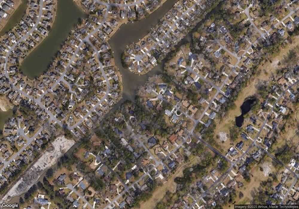
Map
Nearby Homes
- 1619 Gibson Ave
- 1409 Ashwood Cir
- 1544 Heathmuir Dr
- 932 Abernathy Place
- 1430 Bay Tree Ln
- 583 Hickman St
- 2180 Pettus Way Unit BOC 21
- 591 Hickman St
- 455 Deerfield Links Dr
- 2172 Pettus Way Unit BOC 19
- 1986 Bobcat Ct
- 1886 Southwood Dr
- 376 Mikita Dr
- 2220 Pettus Way Unit BOC 29
- 1451 Crooked Pine Dr
- 646 Pacific Commons Dr
- 155 Marsh Deer Place
- 1840 Fairway Ridge Dr Unit 8F
- 2176 Pettus Way Unit BOC 20
- 2184 Pettus Way Unit BOC 22
- 1937 Bobwhite Ln Unit Deerfield
- 1937 Bobwhite Ln
- 1946 Bobwhite Ln
- 1927 Bobwhite Ln Unit SB
- 1940 Raccoon Ln
- 1940 Bobwhite Ln Unit MB
- 1936 Bobwhite Ln
- 1934 Raccoon Ln Unit SB
- 1926 Bobwhite Ln Unit Deerfield
- 1917 Bobwhite Ln
- 1926 Raccoon Ln Unit SB
- 1946 Raccoon Ln
- 1389 Southwood Dr
- 1644 Pennystone Trail
- 1387 Southwood Dr
- 1916 Bobwhite Ln
- 1391 Southwood Dr
- 1646 Pennystone Trail
- 1916 Raccoon Ln Unit SB
- 1642 Pennystone Trail