1941 E 1200 North Cir Saint George, UT 84770
Estimated Value: $902,000 - $1,318,000
5
Beds
5
Baths
3,838
Sq Ft
$284/Sq Ft
Est. Value
About This Home
This home is located at 1941 E 1200 North Cir, Saint George, UT 84770 and is currently estimated at $1,088,181, approximately $283 per square foot. 1941 E 1200 North Cir is a home with nearby schools including Sandstone School, Pine View Middle School, and Fossil Ridge Intermediate School.
Ownership History
Date
Name
Owned For
Owner Type
Purchase Details
Closed on
Dec 13, 2024
Sold by
Amelias Business Park Llc
Bought by
Jeremy And Stacy Anderson 2010 Living Trust and Anderson
Current Estimated Value
Purchase Details
Closed on
Jan 2, 2015
Sold by
Bar S Properties Inc
Bought by
Amelia S Business Park Llc
Create a Home Valuation Report for This Property
The Home Valuation Report is an in-depth analysis detailing your home's value as well as a comparison with similar homes in the area
Home Values in the Area
Average Home Value in this Area
Purchase History
| Date | Buyer | Sale Price | Title Company |
|---|---|---|---|
| Jeremy And Stacy Anderson 2010 Living Trust | $1,000,000 | None Listed On Document | |
| Jeremy And Stacy Anderson 2010 Living Trust | $1,000,000 | None Listed On Document | |
| Amelia S Business Park Llc | -- | Southern Utah Title |
Source: Public Records
Tax History Compared to Growth
Tax History
| Year | Tax Paid | Tax Assessment Tax Assessment Total Assessment is a certain percentage of the fair market value that is determined by local assessors to be the total taxable value of land and additions on the property. | Land | Improvement |
|---|---|---|---|---|
| 2025 | $6,795 | $994,400 | $180,000 | $814,400 |
| 2023 | $6,920 | $1,033,900 | $180,000 | $853,900 |
| 2022 | $9,242 | $1,065,100 | $150,000 | $915,100 |
| 2021 | $6,774 | $780,700 | $102,000 | $678,700 |
| 2020 | $6,683 | $725,400 | $90,000 | $635,400 |
| 2019 | $6,260 | $663,800 | $90,000 | $573,800 |
| 2018 | $5,787 | $576,000 | $0 | $0 |
| 2017 | $6,127 | $592,200 | $0 | $0 |
| 2016 | $6,212 | $555,200 | $0 | $0 |
| 2015 | $3,391 | $290,840 | $0 | $0 |
| 2014 | $1,000 | $86,300 | $0 | $0 |
Source: Public Records
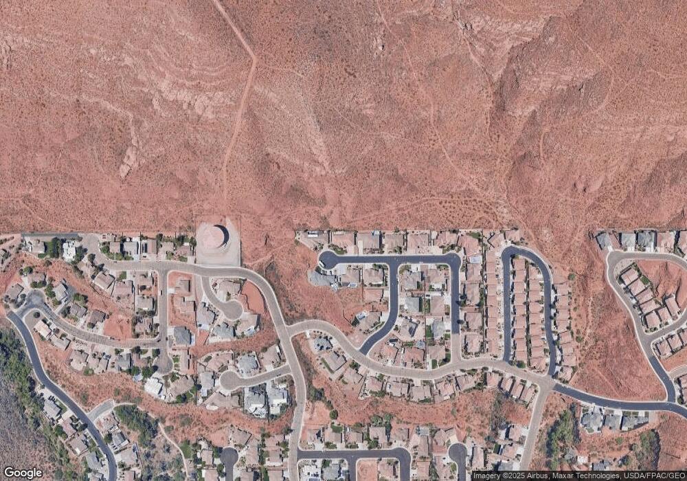
Map
Nearby Homes
- 1976 E 1200 Cir N
- 2031 E Colorado Dr
- 2031 E Colorado Dr Unit 209
- 2031 E Colorado Dr Unit 204
- 2031 E Colorado Dr Unit 406
- 1761 E 1150 N
- 1009 N 2050 E
- 948 N 2050 East Cir
- 41 N Westgate Hills Dr
- 0 Unit 25-264406
- 0 Grand Heights Lot #53 Unit 25-264407
- 991 Redrock Rd
- 31 W Silver Feather Cir
- 26 Dellcorero Dr
- 0 Grand Heights Lot #66 Unit 25-264410
- 147 N Westgate Hills Dr
- 2105 Panorama Pkwy N
- 840 Twin Lakes Dr Unit 431
- 840 Twin Lakes Dr Unit 424
- 840 Twin Lakes Dr Unit 430
- 1944 E 1200 N
- 1949 E 1200 Cir N Unit 506
- 1949 E 1200 Cir N
- 1936 E 1200 N
- 1949 E 1200 North Cir
- 1944 E 1200 North Cir
- 1938 E 1200 North Cir
- 1952 E 1200 Cir N Unit 512
- 1952 E 1200 North Cir
- 1938 E 1200 Cir N Unit 510
- 0 E 1200 Cir N
- 1979 E 1200 N
- 1179 N 1960 E
- Lot 406 2010 St E
- 1987 E 1200 Cir N
- 1987 E 1200 North Cir
- 1153 N 1960 E
- Lot 407 2010 St E
- 1172 N 1960 E
- 2003 E 1200 Cir N