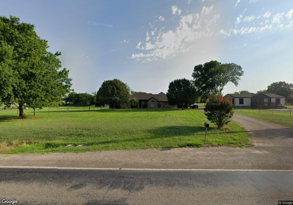
1941 E Fm 120 Denison, TX 75021
Estimated Value: $363,158 - $375,000
3
Beds
2
Baths
1,729
Sq Ft
$213/Sq Ft
Est. Value
About This Home
This home is located at 1941 E Fm 120, Denison, TX 75021 and is currently estimated at $369,079, approximately $213 per square foot. 1941 E Fm 120 is a home located in Grayson County with nearby schools including Terrell Elementary School, Scott Middle School, and Denison High School.
Ownership History
Date
Name
Owned For
Owner Type
Purchase Details
Closed on
Feb 25, 2016
Sold by
Hicks Monnie and Hicks Stephanie
Bought by
Vandergriff William B and Vandergriff Bree
Current Estimated Value
Home Financials for this Owner
Home Financials are based on the most recent Mortgage that was taken out on this home.
Original Mortgage
$126,500
Outstanding Balance
$78,524
Interest Rate
3.92%
Mortgage Type
New Conventional
Estimated Equity
$290,555
Create a Home Valuation Report for This Property
The Home Valuation Report is an in-depth analysis detailing your home's value as well as a comparison with similar homes in the area
Home Values in the Area
Average Home Value in this Area
Purchase History
| Date | Buyer | Sale Price | Title Company |
|---|---|---|---|
| Vandergriff William B | -- | Grayson County Title |
Source: Public Records
Mortgage History
| Date | Status | Borrower | Loan Amount |
|---|---|---|---|
| Open | Vandergriff William B | $126,500 |
Source: Public Records
Tax History
| Year | Tax Paid | Tax Assessment Tax Assessment Total Assessment is a certain percentage of the fair market value that is determined by local assessors to be the total taxable value of land and additions on the property. | Land | Improvement |
|---|---|---|---|---|
| 2025 | $3,666 | $346,110 | -- | -- |
| 2024 | $5,070 | $314,645 | $0 | $0 |
| 2023 | $3,226 | $286,041 | $0 | $0 |
| 2022 | $4,483 | $260,037 | $0 | $0 |
| 2021 | $4,421 | $236,397 | $36,438 | $199,959 |
| 2020 | $4,306 | $216,829 | $21,761 | $195,068 |
| 2019 | $4,535 | $221,460 | $25,909 | $195,551 |
| 2018 | $4,167 | $194,637 | $22,170 | $172,467 |
| 2017 | $4,136 | $191,989 | $22,441 | $169,548 |
| 2016 | $3,315 | $182,487 | $18,224 | $164,263 |
Source: Public Records
Map
Nearby Homes
- 2550 Farm To Market Road 120
- 426 Gun Club Rd
- 194 Middle Rd
- 5.92 Rd
- 3467 E Fm 120
- TBD E Fm 120
- 1912 E Texas St
- 492 Richerson Rd
- 1534 E Texas St
- TBD Singletree Rd
- 2757 Fm 1753
- 909 E Sears St
- TBD NE Fm 1753 & Singletree
- 417 E Texas St
- TBD E Texas St
- 801 N 8th Ave
- 727 E Gandy St
- 729 E Sears St
- 718 E Crawford St
- 708 E Gandy St
- 1963 Farm To Market Road 120
- 1903 E Fm 120
- 1963 Hwy 120
- 1997 E Fm 120
- 00 Meadow Lake Estates Rd
- 1956 E Fm 120
- 1950 E Fm 120
- 1972 E Fm 120
- 129 River Oaks Ln
- 2025 E Fm 120
- 2024 E Fm 120
- 92 Wild Kingdom Rd
- 2+ AC River Oaks Ln
- 2087 E Fm 120
- 111 Riverbend Dr
- 111 Riverbend Dr
- 1808 E Fm 120
- 1784 E Fm 120
- 105 Meadow Lake Estates Rd
- 2100 E Fm 120
Your Personal Tour Guide
Ask me questions while you tour the home.