1941 Fair Ave Las Vegas, NV 89106
West Las Vegas NeighborhoodEstimated Value: $520,697 - $636,000
3
Beds
2
Baths
2,290
Sq Ft
$257/Sq Ft
Est. Value
About This Home
This home is located at 1941 Fair Ave, Las Vegas, NV 89106 and is currently estimated at $589,424, approximately $257 per square foot. 1941 Fair Ave is a home located in Clark County with nearby schools including Wendell P. Williams Elementary School, West Prepatory Academy At Charlles I West Hall Sec, and Western High School.
Ownership History
Date
Name
Owned For
Owner Type
Purchase Details
Closed on
Dec 10, 1996
Sold by
Guy Susan Ann and Guy Michael Lawrence
Bought by
Guy Michael Lawrence
Current Estimated Value
Home Financials for this Owner
Home Financials are based on the most recent Mortgage that was taken out on this home.
Original Mortgage
$102,000
Interest Rate
10%
Purchase Details
Closed on
Aug 17, 1995
Sold by
Guy Michael Lawrence and Guy Susan
Bought by
Guy Michael Lawrence
Home Financials for this Owner
Home Financials are based on the most recent Mortgage that was taken out on this home.
Original Mortgage
$25,000
Interest Rate
7.83%
Create a Home Valuation Report for This Property
The Home Valuation Report is an in-depth analysis detailing your home's value as well as a comparison with similar homes in the area
Home Values in the Area
Average Home Value in this Area
Purchase History
| Date | Buyer | Sale Price | Title Company |
|---|---|---|---|
| Guy Michael Lawrence | -- | United Title | |
| Guy Michael Lawrence | -- | Stewart Title |
Source: Public Records
Mortgage History
| Date | Status | Borrower | Loan Amount |
|---|---|---|---|
| Closed | Guy Michael Lawrence | $102,000 | |
| Closed | Guy Michael Lawrence | $25,000 |
Source: Public Records
Tax History Compared to Growth
Tax History
| Year | Tax Paid | Tax Assessment Tax Assessment Total Assessment is a certain percentage of the fair market value that is determined by local assessors to be the total taxable value of land and additions on the property. | Land | Improvement |
|---|---|---|---|---|
| 2025 | $2,159 | $94,651 | $59,500 | $35,151 |
| 2024 | $2,768 | $94,651 | $59,500 | $35,151 |
| 2023 | $2,768 | $90,868 | $59,500 | $31,368 |
| 2022 | $1,520 | $77,535 | $49,350 | $28,185 |
| 2021 | $1,407 | $66,415 | $40,250 | $26,165 |
| 2020 | $1,304 | $58,687 | $33,250 | $25,437 |
| 2019 | $1,222 | $57,757 | $33,250 | $24,507 |
| 2018 | $1,166 | $47,552 | $24,500 | $23,052 |
| 2017 | $1,497 | $45,652 | $22,750 | $22,902 |
| 2016 | $1,579 | $39,492 | $17,500 | $21,992 |
| 2015 | $1,358 | $35,079 | $14,000 | $21,079 |
| 2014 | $1,196 | $31,235 | $10,500 | $20,735 |
Source: Public Records
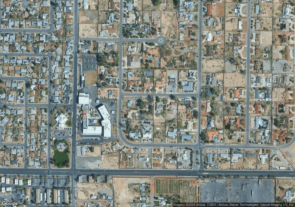
Map
Nearby Homes
- 1713 Ophir Dr
- 1310 N Tonopah Dr
- 2133 Sleepy Ct
- 2211 Sleepy Ct
- 814 W Bonanza Rd
- 2400 Dutchmans Pipe Ct
- 1301 Madison Ave
- 2521 Rainbow Cactus Ct
- 2520 Bottle Palm Ct
- 2045 Rose Coral Ave
- 1604 Luning Dr
- 35 Jade Cir
- 27 Onyx Way
- 2625 Chin Cactus Ct
- 2624 Feather Cactus Ct
- 913 Jade Plant St
- 2632 Chin Cactus Ct
- 1921 Granite Ave
- 1201 Leonard Ave
- 1908 W Mesquite Ave
- 1931 Fair Ave
- 1130 Virginia City Ave
- 1122 Virginia City Ave
- 1940 Ophir Dr
- 1110 Virginia City Ave
- 1921 Fair Ave
- 1930 Ophir Dr
- 1206 Virginia City Ave
- 1940 Fair Ave
- 1930 Fair Ave
- 1100 Virginia City Ave
- 1920 Ophir Dr
- 1920 Fair Ave
- 1210 Virginia City Ave
- 1131 Comstock Dr
- 1119 Comstock Dr
- 1117 Comstock Dr
- 1131 Virginia City Ave
- 1133 Comstock Dr
- 1201 Virginia City Ave