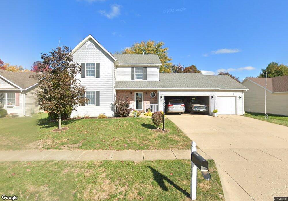
1941 Fieldstone Unit 214 Washington, IL 61571
Hillcrest NeighborhoodEstimated Value: $285,000 - $307,000
3
Beds
4
Baths
1,600
Sq Ft
$183/Sq Ft
Est. Value
About This Home
This home is located at 1941 Fieldstone Unit 214, Washington, IL 61571 and is currently estimated at $293,223, approximately $183 per square foot. 1941 Fieldstone Unit 214 is a home located in Tazewell County with nearby schools including Central Primary School, Central Intermediate School, and Washington Community High School.
Ownership History
Date
Name
Owned For
Owner Type
Purchase Details
Closed on
Apr 21, 2006
Sold by
Paragon Relocation Resources Inc
Bought by
Lenover Christopher A and Lenover Kristin D
Current Estimated Value
Home Financials for this Owner
Home Financials are based on the most recent Mortgage that was taken out on this home.
Original Mortgage
$144,800
Interest Rate
6.62%
Mortgage Type
Purchase Money Mortgage
Purchase Details
Closed on
Mar 20, 2006
Sold by
Ayotte Rebecca J and Ayotte Joseph M
Bought by
Paragon Relocation Resources Inc
Home Financials for this Owner
Home Financials are based on the most recent Mortgage that was taken out on this home.
Original Mortgage
$144,800
Interest Rate
6.62%
Mortgage Type
Purchase Money Mortgage
Create a Home Valuation Report for This Property
The Home Valuation Report is an in-depth analysis detailing your home's value as well as a comparison with similar homes in the area
Home Values in the Area
Average Home Value in this Area
Purchase History
| Date | Buyer | Sale Price | Title Company |
|---|---|---|---|
| Lenover Christopher A | $181,000 | First American | |
| Paragon Relocation Resources Inc | $181,000 | First American |
Source: Public Records
Mortgage History
| Date | Status | Borrower | Loan Amount |
|---|---|---|---|
| Previous Owner | Lenover Christopher A | $144,800 |
Source: Public Records
Map
Nearby Homes
- 1930 Cobblestone
- 1918 Canterbury Dr Unit F
- 1950 English Oak
- 1830 Kern Rd
- 306 Parkview Dr
- 1506 Woodbine Dr
- Lot 9 Sonny Dr
- 1506 Kern Rd
- 417 Wagner St
- 609 Patricia St
- 0 Cummings & Cruger Rd Unit PA1222417
- 737 Pintail Ln
- 201 Willa Ln
- 207 N Linnhill Ln
- 0 W Cruger Rd Unit 1190158
- 0 W Cruger Rd Unit 22212313
- 2236 E Linnhill Ln
- 2239 E Linnhill Ln
- 1 Plymouth Ct
- 1423 Calvin Dr
- 1941 Fieldstone
- 1945 Fieldstone
- 1937 Fieldstone
- 1928 Brentwood Dr
- 1928 Brentwood Dr Unit B
- 1926 Brentwood Dr
- 1933 Fieldstone
- 1930 Brentwood Dr
- 1924 Brentwood Dr
- 1949 Fieldstone
- 1942 Fieldstone
- 1938 Fieldstone
- 1922 Brentwood Dr
- 1929 Fieldstone
- 1934 Fieldstone
- 1950 Fieldstone
- 1932 Brentwood Dr
- 1930 Fieldstone
- 1953 Fieldstone
- 1920 Brentwood Dr
Your Personal Tour Guide
Ask me questions while you tour the home.