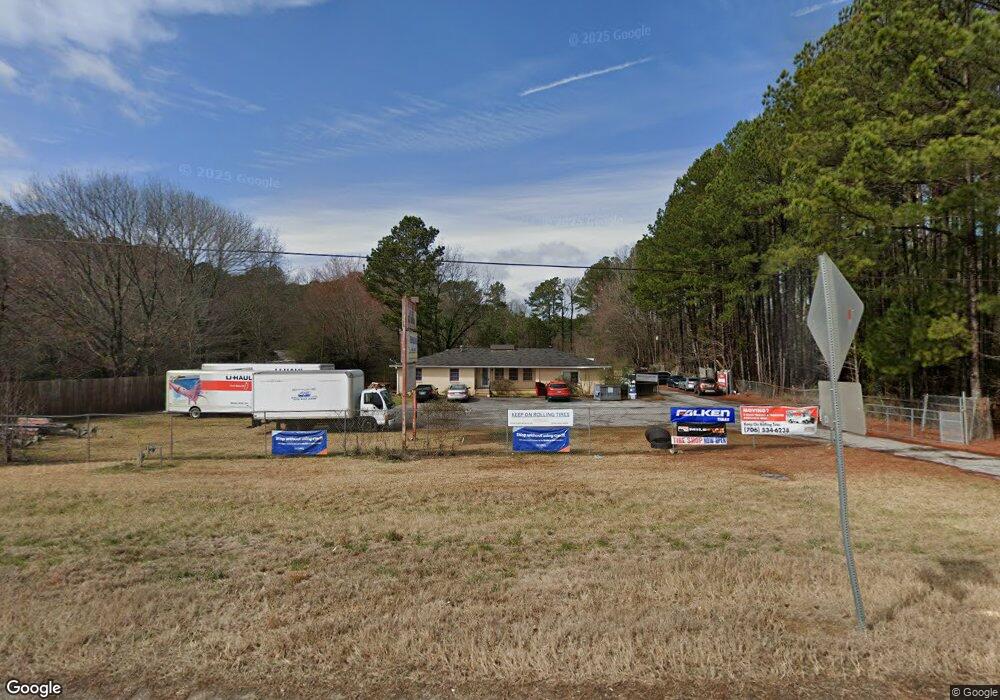
1941 Highway 29 N Athens, GA 30601
Estimated Value: $251,000 - $394,000
--
Bed
--
Bath
1,844
Sq Ft
$171/Sq Ft
Est. Value
About This Home
This home is located at 1941 Highway 29 N, Athens, GA 30601 and is currently estimated at $314,956, approximately $170 per square foot. 1941 Highway 29 N is a home with nearby schools including Madison County High School.
Ownership History
Date
Name
Owned For
Owner Type
Purchase Details
Closed on
Sep 11, 2018
Sold by
The Edna L Lance Trust
Bought by
Hardy Jeanne and Arnold Connie
Current Estimated Value
Purchase Details
Closed on
Mar 24, 2009
Sold by
Brady Edward Duke
Bought by
Tuggle Michael
Purchase Details
Closed on
Mar 20, 2009
Sold by
Brady Trudy Phillips
Bought by
Brady Edward Duke
Purchase Details
Closed on
Jan 1, 1994
Sold by
Bennets Aviation Co
Bought by
Brady Edward Duke
Create a Home Valuation Report for This Property
The Home Valuation Report is an in-depth analysis detailing your home's value as well as a comparison with similar homes in the area
Home Values in the Area
Average Home Value in this Area
Purchase History
| Date | Buyer | Sale Price | Title Company |
|---|---|---|---|
| Hardy Jeanne | -- | -- | |
| Tuggle Michael | $35,000 | -- | |
| Brady Edward Duke | -- | -- | |
| Brady Edward Duke | $115,000 | -- |
Source: Public Records
Tax History Compared to Growth
Tax History
| Year | Tax Paid | Tax Assessment Tax Assessment Total Assessment is a certain percentage of the fair market value that is determined by local assessors to be the total taxable value of land and additions on the property. | Land | Improvement |
|---|---|---|---|---|
| 2024 | $2,544 | $97,755 | $44,224 | $53,531 |
| 2023 | $2,467 | $94,775 | $44,224 | $50,551 |
| 2022 | $2,475 | $89,735 | $44,224 | $45,511 |
| 2021 | $2,479 | $81,218 | $44,224 | $36,994 |
| 2020 | $2,497 | $81,218 | $44,224 | $36,994 |
| 2019 | $2,506 | $80,594 | $44,224 | $36,370 |
| 2018 | $2,502 | $80,234 | $44,224 | $36,010 |
| 2017 | $2,344 | $81,418 | $44,224 | $37,194 |
| 2016 | $2,206 | $76,861 | $44,224 | $32,637 |
| 2015 | $2,207 | $76,861 | $44,224 | $32,637 |
| 2014 | $1,777 | $61,510 | $31,408 | $30,102 |
| 2013 | -- | $61,510 | $31,408 | $30,102 |
Source: Public Records
Map
Nearby Homes
- 8986 Highway 29 S
- 136 Wellington Dr
- 481 Bedford Dr
- 685 Bedford Dr
- 181 Bedford Dr
- 525 Virginia Ln
- 0 Woodland Creek Place Unit 10421130
- 838 Virginia Ln
- 1176 Kimberly Cir
- 424 Belhaven Ln
- 3080 Danielsville Rd
- 540 & 542 Harve Mathis Rd
- 121 Sweetgum Way
- 149 Candlestick Dr
- 0 Virginia Ln Unit Lot 15 CL336098
- 0 Virginia Ln Unit LOT 15 10579204
- 151 Rolling Woods Ln
- 1329 Spratlin Mill Dr
- 300 Harve Mathis Rd
- 9124 Highway 29 S
- 4155 Old Danielsville Rd
- 0000 Old Danielsville Rd
- 0 Old Danielsville Rd Unit 8582538
- 0 Old Danielsville Rd Unit 3274649
- 0 Highway 29 N
- 0 Reese Ln Unit 1016574
- 0 Reese Ln Unit 7359132
- 0 Reese Ln Unit 20151665
- 0 Reese Ln Unit 1010650
- 0 Reese Ln Unit 20065591
- 0 Georgia 106 Unit 20132957
- 0 Georgia 106 Unit 8117139
- 0 Georgia 106 Unit 8525453
- 0 Georgia 106 Unit 8707850
- 0 Georgia 106 Unit 8384960
- 0 Georgia 106 Unit 8440826
- 0 Georgia 106 Unit 8653670
- S Georgia 106
- 0 Georgia 106 Unit TR3 7641115