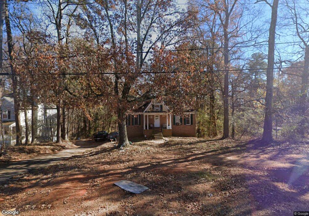
1941 Jimmy Dodd Rd Unit 3 Buford, GA 30518
Estimated Value: $315,131 - $359,000
3
Beds
2
Baths
1,288
Sq Ft
$265/Sq Ft
Est. Value
About This Home
This home is located at 1941 Jimmy Dodd Rd Unit 3, Buford, GA 30518 and is currently estimated at $341,033, approximately $264 per square foot. 1941 Jimmy Dodd Rd Unit 3 is a home located in Gwinnett County with nearby schools including Buford Elementary School, Buford Academy, and Buford Senior Academy.
Ownership History
Date
Name
Owned For
Owner Type
Purchase Details
Closed on
Aug 8, 2016
Sold by
D
Bought by
Mcallister J
Current Estimated Value
Purchase Details
Closed on
Nov 14, 2003
Sold by
Jacob Ronald H
Bought by
Jimmy Dodd Land Trust
Purchase Details
Closed on
Oct 3, 2003
Sold by
Jimmy Doddd Land Trust
Bought by
Jacob Ronald H
Purchase Details
Closed on
Nov 17, 2000
Sold by
Essig Harvey I
Bought by
Smokerise Land Trust
Purchase Details
Closed on
Nov 1, 2000
Sold by
Smokerise Land Trust
Bought by
Jimmy Dodd Land Trust
Purchase Details
Closed on
Nov 7, 1995
Sold by
Bankoklahoma Mtt Co
Bought by
Secretary Of Hud
Create a Home Valuation Report for This Property
The Home Valuation Report is an in-depth analysis detailing your home's value as well as a comparison with similar homes in the area
Home Values in the Area
Average Home Value in this Area
Purchase History
| Date | Buyer | Sale Price | Title Company |
|---|---|---|---|
| Mcallister J | -- | -- | |
| Jimmy Dodd Land Trust | -- | -- | |
| Jacob Ronald H | -- | -- | |
| Smokerise Land Trust | $2,000 | -- | |
| Jimmy Dodd Land Trust | -- | -- | |
| Secretary Of Hud | -- | -- | |
| Bancoklahoma Mtt Co | $91,120 | -- |
Source: Public Records
Tax History Compared to Growth
Tax History
| Year | Tax Paid | Tax Assessment Tax Assessment Total Assessment is a certain percentage of the fair market value that is determined by local assessors to be the total taxable value of land and additions on the property. | Land | Improvement |
|---|---|---|---|---|
| 2025 | $1,406 | $124,440 | $32,000 | $92,440 |
| 2024 | $1,406 | $97,960 | $17,600 | $80,360 |
| 2023 | $1,406 | $97,960 | $17,600 | $80,360 |
| 2022 | $928 | $97,960 | $17,600 | $80,360 |
| 2021 | $928 | $64,640 | $12,000 | $52,640 |
| 2020 | $928 | $64,640 | $12,000 | $52,640 |
| 2019 | $557 | $64,640 | $12,000 | $52,640 |
| 2018 | $557 | $42,960 | $12,000 | $30,960 |
| 2016 | $457 | $35,640 | $6,600 | $29,040 |
| 2015 | $473 | $35,640 | $6,600 | $29,040 |
| 2014 | -- | $37,360 | $6,000 | $31,360 |
Source: Public Records
Map
Nearby Homes
- 2030 Buford Dam Rd
- 1930 Marina Way
- 2015 Buford Dam Rd
- 5774 Harbor Dr
- 5820 Elm Tree Dr Unit 1
- 1983 Anchor Way Unit 1
- 6205 Ambercrest Ct
- 2075 Pine Tree Dr Unit B2
- 2075 Pine Tree Dr Unit A3
- 5871 Dolvin Ln
- 1920 Patrick Mill Place
- 5984 Dolvin Ln
- 6265 Lake Windsor Pkwy
- 2243 Bedstone Dr Unit 2
- 5600 Creek Dale Way
- 1770 Patrick Mill Place
- 5601 Creek Dale Way
- 2090 Mina Lane Dr
- 5552 Little Mill Rd
- 6219 Woodlake Dr
- 1931 Jimmy Dodd Rd
- 1951 Jimmy Dodd Rd Unit 1
- 1961 Jimmy Dodd Rd
- 1961 Buford Dam Rd
- 1921 Jimmy Dodd Rd
- 5000 Harbor Dr
- 5000 Harbor Ridge Dr
- 5010 Harbor Ridge Dr
- 1911 Jimmy Dodd Rd Unit 1
- 1901 Jimmy Dodd Rd
- 2043 Buford Dam Rd
- 5005 Harbor Ridge Dr
- 5020 Harbor Ridge Dr
- 2049 Buford Dam Rd
- 1981 Elm Tree Terrace
- 1981 Elm Tree Terrace Unit 44
- 1981 Elm Tree Terrace Unit 1981
- 1890 Jimmy Dodd Rd
- 5890 Elm Tree Dr
- 1980 Elm Tree Terrace