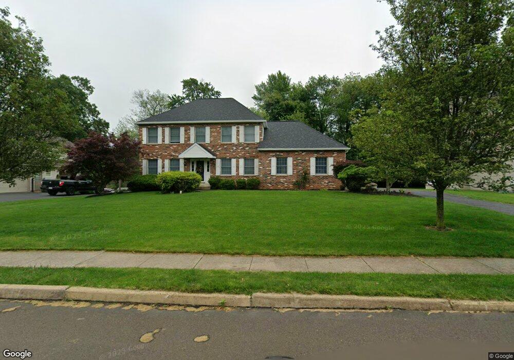
1941 Mulberry Ln Warrington, PA 18976
Estimated Value: $750,050 - $846,000
4
Beds
3
Baths
2,380
Sq Ft
$340/Sq Ft
Est. Value
About This Home
This home is located at 1941 Mulberry Ln, Warrington, PA 18976 and is currently estimated at $810,013, approximately $340 per square foot. 1941 Mulberry Ln is a home located in Bucks County with nearby schools including Barclay Elementary School, Tamanend Middle School, and Central Bucks High School - South.
Ownership History
Date
Name
Owned For
Owner Type
Purchase Details
Closed on
Aug 10, 1994
Sold by
Muscara Joseph
Bought by
Feeney Patrick J and Feeney Joanne P
Current Estimated Value
Home Financials for this Owner
Home Financials are based on the most recent Mortgage that was taken out on this home.
Original Mortgage
$180,000
Interest Rate
8.61%
Purchase Details
Closed on
Jan 10, 1994
Sold by
Robinwood Farm Inc
Bought by
Muscara Joseph
Create a Home Valuation Report for This Property
The Home Valuation Report is an in-depth analysis detailing your home's value as well as a comparison with similar homes in the area
Home Values in the Area
Average Home Value in this Area
Purchase History
| Date | Buyer | Sale Price | Title Company |
|---|---|---|---|
| Feeney Patrick J | $241,735 | -- | |
| Muscara Joseph | $146,634 | -- |
Source: Public Records
Mortgage History
| Date | Status | Borrower | Loan Amount |
|---|---|---|---|
| Closed | Feeney Patrick J | $180,000 |
Source: Public Records
Tax History Compared to Growth
Tax History
| Year | Tax Paid | Tax Assessment Tax Assessment Total Assessment is a certain percentage of the fair market value that is determined by local assessors to be the total taxable value of land and additions on the property. | Land | Improvement |
|---|---|---|---|---|
| 2025 | $8,146 | $46,800 | $10,840 | $35,960 |
| 2024 | $8,146 | $46,800 | $10,840 | $35,960 |
| 2023 | $7,888 | $46,800 | $10,840 | $35,960 |
| 2022 | $7,800 | $46,800 | $10,840 | $35,960 |
| 2021 | $7,713 | $46,800 | $10,840 | $35,960 |
| 2020 | $7,713 | $46,800 | $10,840 | $35,960 |
| 2019 | $7,666 | $46,800 | $10,840 | $35,960 |
| 2018 | $7,666 | $46,800 | $10,840 | $35,960 |
| 2017 | $7,607 | $46,800 | $10,840 | $35,960 |
| 2016 | $7,607 | $46,800 | $10,840 | $35,960 |
| 2015 | -- | $46,800 | $10,840 | $35,960 |
| 2014 | -- | $46,800 | $10,840 | $35,960 |
Source: Public Records
Map
Nearby Homes
- 1656 S Ash Cir
- 1447 Bentley Dr
- 2158 Green Ridge Dr
- 1877 Brook Ln
- 2226 Orchard Hill Cir
- 1917 Brook Ln
- 1402 Valley View
- Kingswood Plan at Breton Hill
- Mayweather Plan at Breton Hill
- Cloverfield Plan at Breton Hill
- Raintree Plan at Breton Hill
- Rollins Plan at Breton Hill
- 1620 Rockcress Dr
- 0 W Bristol Rd
- 2018 Buckingham Dr
- 1618 Mayfield Cir
- 2234 Evin Dr
- 2302 MacIs Cir
- 110 Zircon Ct Unit 14
- 1504 Springfield Ct Unit 37
- 1951 Mulberry Ln
- 1931 Mulberry Ln
- 1516 Huntly Dr
- 1961 Mulberry Ln
- 1950 Mulberry Ln
- 1518 Huntly Dr
- 1921 Mulberry Ln
- 1514 Huntly Dr
- 1908 Robinwood Dr
- 1971 Mulberry Ln
- 1520 Huntly Dr
- 1906 Mulberry Ln
- 1911 Mulberry Ln
- 1960 Mulberry Ln
- 1519 Huntly Dr
- 1970 Mulberry Ln
- 1597 Huntly Dr
- 1918 Robinwood Dr
- 1517 Huntly Dr
- 1904 Mulberry Ln