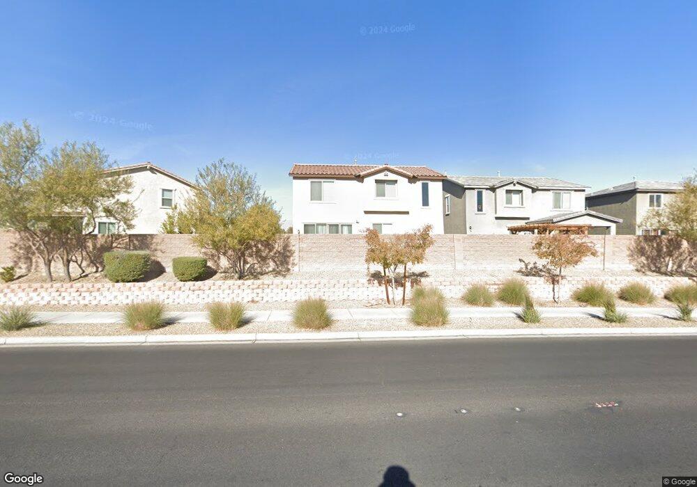
1941 Pinsky Ln North Las Vegas, NV 89032
Cheyenne NeighborhoodEstimated Value: $428,000 - $459,000
4
Beds
3
Baths
1,881
Sq Ft
$234/Sq Ft
Est. Value
About This Home
This home is located at 1941 Pinsky Ln, North Las Vegas, NV 89032 and is currently estimated at $439,527, approximately $233 per square foot. 1941 Pinsky Ln is a home with nearby schools including Richard C. Priest Elementary School, Theron L Swainston Middle School, and Cheyenne High School.
Ownership History
Date
Name
Owned For
Owner Type
Purchase Details
Closed on
Apr 17, 2018
Sold by
Richmond American Homes Of Nevada Inc
Bought by
Kennedy David and Kennedy Elizabeth
Current Estimated Value
Home Financials for this Owner
Home Financials are based on the most recent Mortgage that was taken out on this home.
Original Mortgage
$283,097
Interest Rate
4.46%
Mortgage Type
VA
Purchase Details
Closed on
Sep 23, 2010
Sold by
Tousa Homes Inc
Bought by
Tousa Recovery Acquisition Llc
Purchase Details
Closed on
Nov 24, 2008
Sold by
Tousa Homes Inc
Bought by
Lo Land Assets Lp
Purchase Details
Closed on
Oct 31, 2008
Sold by
Lo Land Assets Lp
Bought by
Tousa Homes Inc and Engle Homes
Create a Home Valuation Report for This Property
The Home Valuation Report is an in-depth analysis detailing your home's value as well as a comparison with similar homes in the area
Home Values in the Area
Average Home Value in this Area
Purchase History
| Date | Buyer | Sale Price | Title Company |
|---|---|---|---|
| Kennedy David | $283,097 | Ticor Title Las Vegas | |
| Tousa Recovery Acquisition Llc | $5,170,000 | First American Title Insura | |
| Lo Land Assets Lp | $756,000 | Community Title | |
| Tousa Homes Inc | $756,000 | Community Title |
Source: Public Records
Mortgage History
| Date | Status | Borrower | Loan Amount |
|---|---|---|---|
| Previous Owner | Kennedy David | $283,097 |
Source: Public Records
Tax History Compared to Growth
Tax History
| Year | Tax Paid | Tax Assessment Tax Assessment Total Assessment is a certain percentage of the fair market value that is determined by local assessors to be the total taxable value of land and additions on the property. | Land | Improvement |
|---|---|---|---|---|
| 2025 | $3,319 | $143,730 | $31,850 | $111,880 |
| 2024 | $3,223 | $143,730 | $31,850 | $111,880 |
| 2023 | $3,223 | $135,984 | $31,500 | $104,484 |
| 2022 | $3,129 | $113,910 | $27,300 | $86,610 |
| 2021 | $2,058 | $101,192 | $23,800 | $77,392 |
| 2020 | $1,980 | $99,314 | $24,850 | $74,464 |
| 2019 | $1,921 | $93,773 | $17,500 | $76,273 |
| 2018 | $254 | $14,067 | $14,000 | $67 |
| 2017 | $449 | $12,600 | $12,600 | $0 |
| 2016 | $196 | $10,850 | $10,850 | $0 |
| 2015 | $194 | $8,750 | $8,750 | $0 |
| 2014 | $228 | $7,000 | $7,000 | $0 |
Source: Public Records
Map
Nearby Homes
- 00 Ward
- 0 Clayton Unit 2712913
- 3323 Outlook Point St
- 1854 Oak Bluffs Ave
- 3355 Clayton St
- 0 June Unit 2706697
- 0 June Unit 2692591
- 0 Tamerind St Unit 2685915
- 0 0 Cheyenne & Englestad Unit 1536141
- 0 0 Englestad Cheyenne Unit 1635643
- 1822 Trigger Way
- 3228 Trinitero St
- 01 Brooks St
- 1981 Komodo Dragon Ct
- 1718 Woodward Heights Way
- 410 Rocky Peak Dr Unit 1704
- 0 N Ernest St
- 3440 Ernest St
- 3304 Simmons St
- 1608 Knoll Heights Ct
- 1937 Pinsky Ln
- 1945 Pinsky Ln
- 1933 Pinsky Ln
- 3205 Rosenberg Way
- 1929 Pinsky Ln
- 3209 Rosenberg Way
- 1925 Pinsky Ln
- 3213 Rosenberg Way
- 1921 Pinsky Ln
- 3217 Rosenberg Way
- 1929 Soto Ln
- 1917 Pinsky Ln
- 1920 Pinsky Ln
- 1925 Soto Ln
- 3221 Rosenberg Way
- 1913 Pinsky Ln
- 1916 Pinsky Ln
- 1921 Soto Ln
- 1940 Soto Ln
- 1936 Soto Ln