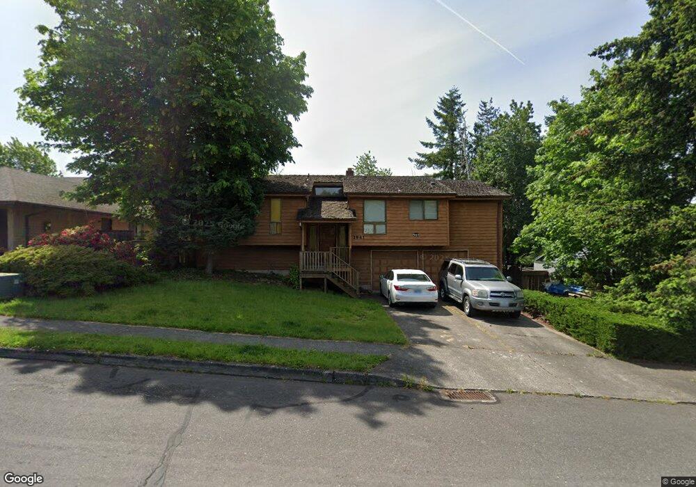
1941 SW Chastain Ave Gresham, OR 97080
Gresham Butte NeighborhoodEstimated Value: $509,804 - $600,000
4
Beds
3
Baths
2,293
Sq Ft
$237/Sq Ft
Est. Value
About This Home
This home is located at 1941 SW Chastain Ave, Gresham, OR 97080 and is currently estimated at $543,451, approximately $237 per square foot. 1941 SW Chastain Ave is a home located in Multnomah County with nearby schools including Dexter McCarty Middle School, Gresham High School, and Portland Adventist Elementary School.
Ownership History
Date
Name
Owned For
Owner Type
Purchase Details
Closed on
Aug 5, 2004
Sold by
Lowry Cheryl Lynn
Bought by
Lowry James Richard
Current Estimated Value
Purchase Details
Closed on
Jul 20, 2000
Sold by
Grigsby Ernest L
Bought by
Lowry James and Lowry Cheryl L
Home Financials for this Owner
Home Financials are based on the most recent Mortgage that was taken out on this home.
Original Mortgage
$155,000
Outstanding Balance
$54,643
Interest Rate
8.22%
Mortgage Type
Purchase Money Mortgage
Estimated Equity
$488,808
Create a Home Valuation Report for This Property
The Home Valuation Report is an in-depth analysis detailing your home's value as well as a comparison with similar homes in the area
Home Values in the Area
Average Home Value in this Area
Purchase History
| Date | Buyer | Sale Price | Title Company |
|---|---|---|---|
| Lowry James Richard | -- | -- | |
| Lowry James | $175,000 | Oregon Title Insurance Co |
Source: Public Records
Mortgage History
| Date | Status | Borrower | Loan Amount |
|---|---|---|---|
| Open | Lowry James | $155,000 |
Source: Public Records
Tax History
| Year | Tax Paid | Tax Assessment Tax Assessment Total Assessment is a certain percentage of the fair market value that is determined by local assessors to be the total taxable value of land and additions on the property. | Land | Improvement |
|---|---|---|---|---|
| 2025 | $6,319 | $310,500 | -- | -- |
| 2024 | $6,048 | $301,460 | -- | -- |
| 2023 | $5,510 | $292,680 | $0 | $0 |
| 2022 | $5,356 | $284,160 | $0 | $0 |
| 2021 | $5,222 | $275,890 | $0 | $0 |
| 2020 | $4,913 | $267,860 | $0 | $0 |
| 2019 | $4,784 | $260,060 | $0 | $0 |
| 2018 | $4,562 | $252,490 | $0 | $0 |
| 2017 | $4,377 | $245,140 | $0 | $0 |
Source: Public Records
Map
Nearby Homes
- 1421 SW Binford Lake Pkwy
- 1333 SW 19th Dr
- 1441 SW 23rd Ct
- 2294 SW Wallula Ln
- 2520 SW Towle Ave
- 1960 SW 13th Ct
- 1175 SW Chastain Dr
- 1645 SW 27th St
- 1278 SW 27th Ct
- 2160 SW 26th St
- 3120 SW Orchard Place
- 1320 SW 31st St
- 1963 SW Myers Place
- 0 SW Battaglia Ave
- 317 SW Angeline Ave
- 419 SW Day Ct
- 1333 SW 5th Place
- 1434 SW 5th Place
- 3079 SW 22nd St
- 404 SW Riverview Ave
- 1965 SW Chastain Ave
- 1921 SW Chastain Ave
- 1971 SW Chastain Ave
- 1968 SW Chastain Ave
- 1930 SW Chastain Ave
- 1888 SW Angeline Ave
- 1636 SW 19th St
- 1520 SW 19th Dr
- 1985 SW Chastain Ave
- 1972 SW Angeline Ave
- 1854 SW Angeline Ave
- 1471 SW 19th Ct
- 1980 SW Chastain Ave
- 1470 SW 19th Ct
- 1918 SW Chastain Ave
- 1986 SW Angeline Ave
- 1830 SW Angeline Ave
- 1463 SW 20th Ct
- 2021 SW Chastain Ave
Your Personal Tour Guide
Ask me questions while you tour the home.