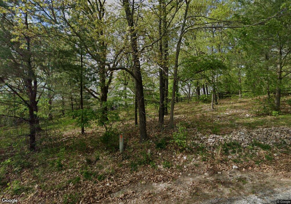
Estimated Value: $740,015 - $805,000
6
Beds
5
Baths
4,800
Sq Ft
$163/Sq Ft
Est. Value
About This Home
This home is located at 1941 W MacKenzies Way, Nixa, MO 65714 and is currently estimated at $781,004, approximately $162 per square foot. 1941 W MacKenzies Way is a home located in Christian County with nearby schools including Mathews Elementary School, Queens Gateway to Health Sciences Secondary School, and Nicholas A. Inman Intermediate School.
Ownership History
Date
Name
Owned For
Owner Type
Purchase Details
Closed on
Jul 15, 2019
Sold by
Maass Eric William and Maass Catherine L
Bought by
Goodin Kelly and Goodin William
Current Estimated Value
Home Financials for this Owner
Home Financials are based on the most recent Mortgage that was taken out on this home.
Original Mortgage
$436,050
Outstanding Balance
$382,019
Interest Rate
3.82%
Mortgage Type
New Conventional
Estimated Equity
$398,985
Purchase Details
Closed on
Jun 8, 2009
Sold by
Smith Christine M
Bought by
Smith Christine Marie and Revocable Living Trust
Create a Home Valuation Report for This Property
The Home Valuation Report is an in-depth analysis detailing your home's value as well as a comparison with similar homes in the area
Home Values in the Area
Average Home Value in this Area
Purchase History
| Date | Buyer | Sale Price | Title Company |
|---|---|---|---|
| Goodin Kelly | -- | Titan Ttl & Closing Of Mo Ll | |
| Smith Christine Marie | -- | None Available |
Source: Public Records
Mortgage History
| Date | Status | Borrower | Loan Amount |
|---|---|---|---|
| Open | Goodin Kelly | $436,050 |
Source: Public Records
Tax History Compared to Growth
Tax History
| Year | Tax Paid | Tax Assessment Tax Assessment Total Assessment is a certain percentage of the fair market value that is determined by local assessors to be the total taxable value of land and additions on the property. | Land | Improvement |
|---|---|---|---|---|
| 2024 | $4,345 | $73,230 | -- | -- |
| 2023 | $4,345 | $73,230 | $0 | $0 |
| 2022 | $4,351 | $73,230 | $0 | $0 |
| 2021 | $4,353 | $73,230 | $0 | $0 |
| 2020 | $3,100 | $49,860 | $0 | $0 |
| 2019 | $3,100 | $49,860 | $0 | $0 |
| 2018 | $2,874 | $49,860 | $0 | $0 |
| 2017 | $2,874 | $49,860 | $0 | $0 |
| 2016 | $2,826 | $49,860 | $0 | $0 |
| 2015 | $2,830 | $49,860 | $49,860 | $0 |
| 2014 | $2,755 | $49,820 | $0 | $0 |
| 2013 | $2,759 | $49,820 | $0 | $0 |
| 2011 | -- | $99,860 | $0 | $0 |
Source: Public Records
Map
Nearby Homes
- 1642 W Inman Rd
- 1286 S River Bend Ct
- 621 Wood Haven Rd
- Tract 2 W Hicks Rd
- 000 W Hicks Rd
- Tract 1 W Hicks Rd
- 145 S Blazing Star Ln
- 178 Applebury Place
- 242 Fieldstone Rd
- 1340 W Mesa Dr
- 000 S Nicholas Rd
- 708 S Aurora Ct
- 1222 W Butterfield Dr
- 144 Cedar Heights Dr
- 1209 W Belwood Ct
- 20 Acres N Carroll Rd
- 20 Acres N Carroll Rd
- 176 Shooting Star Ln
- 975 S Pinewood Ln
- 528 N Mary Lynn Ln
- 1941 W MacKenzies Way
- 1945 Mackenzie Way
- 1893 W MacKenzies Way
- 1942 W MacKenzies Way
- 1945 W Inman Rd
- 1949 Mackenzie Way
- 1900 W MacKenzies Way
- 1915 W MacKenzies
- 1933 W Inman Rd
- 963 S Amber Ct
- 1955 W MacKenzies Way
- 1851 W Inman Rd
- 985 S Amber Ct
- 1850 W MacKenzies Way
- 974 Amber Ct
- 892 S Caliburn Dr
- 1957 W MacKenzies Way
- 924 S Caliburn Dr
- 924 S Caliburn Dr
- 997 Amber Ct
