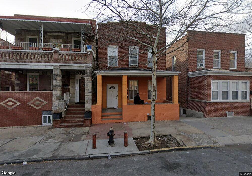
1941 Wallace Ave Bronx, NY 10462
Van Nest NeighborhoodEstimated Value: $646,045 - $910,000
--
Bed
--
Bath
1,760
Sq Ft
$460/Sq Ft
Est. Value
About This Home
This home is located at 1941 Wallace Ave, Bronx, NY 10462 and is currently estimated at $810,261, approximately $460 per square foot. 1941 Wallace Ave is a home located in Bronx County with nearby schools including P.S. 105 Senator Abraham Bernstein, Pelham Academy, and Bronx Green Middle School.
Ownership History
Date
Name
Owned For
Owner Type
Purchase Details
Closed on
Feb 4, 2005
Sold by
Niranjan Khemraj
Bought by
Cooke Fabien
Current Estimated Value
Home Financials for this Owner
Home Financials are based on the most recent Mortgage that was taken out on this home.
Original Mortgage
$372,000
Outstanding Balance
$187,961
Interest Rate
5.66%
Mortgage Type
Purchase Money Mortgage
Estimated Equity
$622,300
Purchase Details
Closed on
Feb 5, 2001
Sold by
Quiles Hector and Quiles Diane
Bought by
Niranjan Khemraj
Home Financials for this Owner
Home Financials are based on the most recent Mortgage that was taken out on this home.
Original Mortgage
$150,000
Interest Rate
7.14%
Mortgage Type
Purchase Money Mortgage
Create a Home Valuation Report for This Property
The Home Valuation Report is an in-depth analysis detailing your home's value as well as a comparison with similar homes in the area
Home Values in the Area
Average Home Value in this Area
Purchase History
| Date | Buyer | Sale Price | Title Company |
|---|---|---|---|
| Cooke Fabien | $465,000 | -- | |
| Niranjan Khemraj | -- | -- |
Source: Public Records
Mortgage History
| Date | Status | Borrower | Loan Amount |
|---|---|---|---|
| Open | Cooke Fabien | $372,000 | |
| Previous Owner | Niranjan Khemraj | $150,000 |
Source: Public Records
Tax History Compared to Growth
Tax History
| Year | Tax Paid | Tax Assessment Tax Assessment Total Assessment is a certain percentage of the fair market value that is determined by local assessors to be the total taxable value of land and additions on the property. | Land | Improvement |
|---|---|---|---|---|
| 2025 | $5,731 | $31,728 | $7,370 | $24,358 |
| 2024 | $5,731 | $29,932 | $6,566 | $23,366 |
| 2023 | $5,451 | $28,238 | $5,900 | $22,338 |
| 2022 | $5,031 | $37,140 | $9,240 | $27,900 |
| 2021 | $5,303 | $34,920 | $9,240 | $25,680 |
| 2020 | $5,301 | $30,900 | $9,240 | $21,660 |
| 2019 | $4,925 | $30,900 | $9,240 | $21,660 |
| 2018 | $4,499 | $23,532 | $8,312 | $15,220 |
| 2017 | $4,226 | $22,200 | $9,240 | $12,960 |
| 2016 | $4,644 | $24,780 | $9,240 | $15,540 |
| 2015 | $2,630 | $23,880 | $10,260 | $13,620 |
| 2014 | $2,630 | $22,578 | $9,749 | $12,829 |
Source: Public Records
Map
Nearby Homes
- 1961 Wallace Ave
- 1914 Holland Ave
- 1907 Barnes Ave
- 1916 Barnes Ave
- 1858 Wallace Ave
- 1865 Hunt Ave
- 661 Sagamore St
- 762 Brady Ave Unit 221
- 762 Brady Ave Unit 621
- 1869 Muliner Ave
- 754 Brady Ave Unit 303
- 758 Brady Ave Unit 411
- 758 Brady Ave Unit 214
- 760 Brady Ave Unit 417
- 760 Brady Ave Unit 117
- 756 Brady Ave Unit 507
- 1904 Bronxdale Ave
- 1852 Amethyst St
- 2075 Wallace Ave Unit 546
- 2081 Cruger Ave Unit 6L
- 1939 Wallace Ave
- 1943 Wallace Ave
- 1937 Wallace Ave
- 1953 Wallace Ave
- 1933 Wallace Ave
- 1936 Holland Ave
- 1938 Holland Ave
- 1934 Holland Ave
- 1931 Wallace Ave
- 1940 Holland Ave
- 1932 Holland Ave
- 1930 Holland Ave
- 1955 Wallace Ave
- 1929 Wallace Ave
- 1944 Holland Ave
- 1928 Holland Ave
- 1927 Wallace Ave
- 1957 Wallace Ave
- 1940 Wallace Ave
- 1942 Wallace Ave