19410 State Highway 181 Fairhope, AL 36532
Estimated Value: $348,000 - $424,742
3
Beds
2
Baths
1,685
Sq Ft
$230/Sq Ft
Est. Value
About This Home
This home is located at 19410 State Highway 181, Fairhope, AL 36532 and is currently estimated at $387,686, approximately $230 per square foot. 19410 State Highway 181 is a home located in Baldwin County with nearby schools including J. Larry Newton School, Fairhope Middle School, and Fairhope High School.
Ownership History
Date
Name
Owned For
Owner Type
Purchase Details
Closed on
Mar 30, 2005
Sold by
Jones Richard A and Jones Roberta M
Bought by
Ponder Michael N
Current Estimated Value
Home Financials for this Owner
Home Financials are based on the most recent Mortgage that was taken out on this home.
Original Mortgage
$164,000
Outstanding Balance
$83,474
Interest Rate
5.57%
Mortgage Type
Purchase Money Mortgage
Estimated Equity
$304,212
Create a Home Valuation Report for This Property
The Home Valuation Report is an in-depth analysis detailing your home's value as well as a comparison with similar homes in the area
Home Values in the Area
Average Home Value in this Area
Purchase History
| Date | Buyer | Sale Price | Title Company |
|---|---|---|---|
| Ponder Michael N | $205,000 | None Available |
Source: Public Records
Mortgage History
| Date | Status | Borrower | Loan Amount |
|---|---|---|---|
| Open | Ponder Michael N | $164,000 |
Source: Public Records
Tax History Compared to Growth
Tax History
| Year | Tax Paid | Tax Assessment Tax Assessment Total Assessment is a certain percentage of the fair market value that is determined by local assessors to be the total taxable value of land and additions on the property. | Land | Improvement |
|---|---|---|---|---|
| 2024 | $2,067 | $45,920 | $25,880 | $20,040 |
| 2023 | $1,971 | $43,820 | $25,160 | $18,660 |
| 2022 | $1,384 | $31,060 | $0 | $0 |
| 2021 | $1,280 | $28,540 | $0 | $0 |
| 2020 | $1,207 | $27,220 | $0 | $0 |
| 2019 | $1,020 | $24,760 | $0 | $0 |
| 2018 | $1,000 | $24,300 | $0 | $0 |
| 2017 | $974 | $23,700 | $0 | $0 |
| 2016 | $885 | $21,620 | $0 | $0 |
| 2015 | $869 | $21,260 | $0 | $0 |
| 2014 | $817 | $20,040 | $0 | $0 |
| 2013 | -- | $19,040 | $0 | $0 |
Source: Public Records
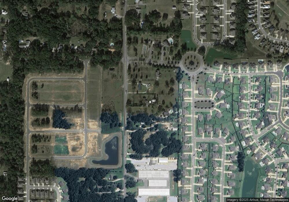
Map
Nearby Homes
- 737 Winesap Dr
- 516 Golden Leaf Ave
- 536 Crackwillow Ave
- 293 Bronze St
- 19422 Steeplechase Ct
- 128 Club Dr
- 351 Nandina Loop
- 133 Club Dr
- 19763 State Highway 181
- 116 Club Dr
- 376 Nandina Loop
- 588 Crackwillow Ave
- 343 Hemlock Dr
- 112 Lake Ridge Dr
- 9916 Windmill Rd Unit 10
- 127 Wedge Loop
- 9542 Firefly Ct Unit 5
- 741 Cheswick Ave
- 9526 Firefly Ct Unit 4
- 9522 Firefly Ct Unit 3
- 19390 State Highway 181
- 19442 State Highway 181
- 19460 State Highway 181
- 709 Winesap Dr
- 713 Winesap Dr
- 717 Winesap Dr
- 705 Winesap Dr
- 19378 State Highway 181
- 721 Winesap Dr
- 19340 Alabama 181
- 725 Winesap Dr
- 19316 State Highway 181
- 902 Abelia Ct
- 901 Abelia Ct
- 729 Winesap Dr
- 19514 State Highway 181
- 19284 State Highway 181
- 802 Onyx Ln
- 906 Abelia Ct
- 733 Winesap Dr