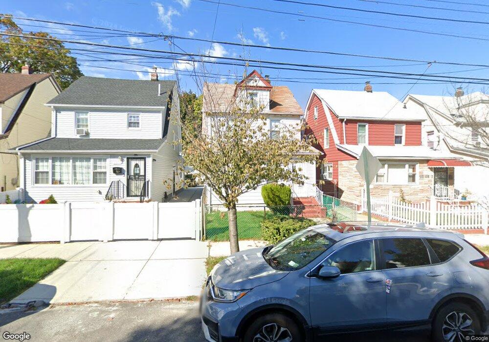
19413 112th Ave Saint Albans, NY 11412
Hollis NeighborhoodEstimated Value: $498,000 - $622,000
--
Bed
--
Bath
960
Sq Ft
$574/Sq Ft
Est. Value
About This Home
This home is located at 19413 112th Ave, Saint Albans, NY 11412 and is currently estimated at $551,120, approximately $574 per square foot. 19413 112th Ave is a home located in Queens County with nearby schools including P.S. 118 Lorraine Hansberry, I.S. 192 The Linden, and True Deliverance Christian School.
Ownership History
Date
Name
Owned For
Owner Type
Purchase Details
Closed on
Oct 24, 2005
Sold by
Delva Gerard
Bought by
Delva Solange E
Current Estimated Value
Home Financials for this Owner
Home Financials are based on the most recent Mortgage that was taken out on this home.
Original Mortgage
$194,000
Interest Rate
5.85%
Mortgage Type
Purchase Money Mortgage
Purchase Details
Closed on
Nov 25, 2002
Sold by
Delva Solange E and Edouard Solange
Bought by
Delva Gerard
Create a Home Valuation Report for This Property
The Home Valuation Report is an in-depth analysis detailing your home's value as well as a comparison with similar homes in the area
Home Values in the Area
Average Home Value in this Area
Purchase History
| Date | Buyer | Sale Price | Title Company |
|---|---|---|---|
| Delva Solange E | $244,000 | -- | |
| Delva Gerard | $181,500 | -- |
Source: Public Records
Mortgage History
| Date | Status | Borrower | Loan Amount |
|---|---|---|---|
| Previous Owner | Delva Solange E | $194,000 | |
| Closed | Delva Gerard | $0 |
Source: Public Records
Tax History Compared to Growth
Tax History
| Year | Tax Paid | Tax Assessment Tax Assessment Total Assessment is a certain percentage of the fair market value that is determined by local assessors to be the total taxable value of land and additions on the property. | Land | Improvement |
|---|---|---|---|---|
| 2025 | $4,671 | $24,602 | $7,478 | $17,124 |
| 2024 | $4,671 | $23,256 | $7,176 | $16,080 |
| 2023 | $4,407 | $21,941 | $5,827 | $16,114 |
| 2022 | $4,133 | $33,660 | $9,720 | $23,940 |
| 2021 | $4,336 | $28,860 | $9,720 | $19,140 |
| 2020 | $4,340 | $24,900 | $9,720 | $15,180 |
| 2019 | $4,054 | $27,420 | $9,720 | $17,700 |
| 2018 | $3,727 | $18,284 | $7,595 | $10,689 |
| 2017 | $3,517 | $17,251 | $7,636 | $9,615 |
| 2016 | $3,432 | $17,251 | $7,636 | $9,615 |
| 2015 | $1,963 | $17,085 | $8,737 | $8,348 |
| 2014 | $1,963 | $16,150 | $8,917 | $7,233 |
Source: Public Records
Map
Nearby Homes
- 194-29 112th Ave
- 194- 24 111th Rd
- 194-16 112th Ave
- 190-63 112th Ave
- 190-59 112th Ave
- 191-40 112th Rd
- 194-04 110th Rd
- 19022 111th Rd
- 19432 113th Rd
- 19427 Murdock Ave
- 19445 Murdock Ave
- 194-42 Murdock Ave
- 112-28 199th St
- 194-56 Murdock Ave
- 111-06 Farmers Blvd
- 193-21 109th Rd
- 18833 Keeseville Ave
- 114-22 197th St
- 191-16 114th Rd
- 191-47 114th Dr
- 19415 112th Ave
- 19411 112th Ave
- 19407 112th Ave
- 19417 112th Ave
- 194-05 112th Ave
- 19419 112th Ave
- 19405 112th Ave
- 19419 112th Ave
- 19403 112th Ave
- 19421 112th Ave
- 194-03 112th Ave
- 19412 111th Rd
- 19416 111th Rd
- 19401 112th Ave
- 19423 112th Ave
- 19418 111th Rd
- 19427 112th Ave
- 19422 111th Rd
- 19404 111th Rd
- 194-12 112th Ave