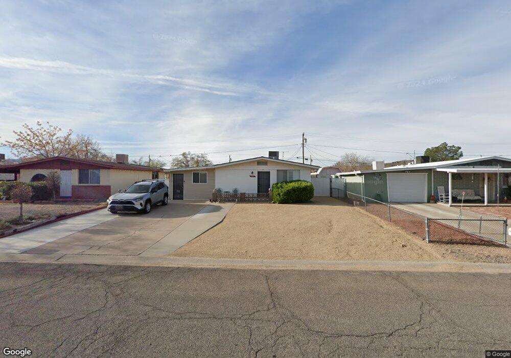
1942 Airfield Ave Kingman, AZ 86401
Estimated Value: $197,743 - $236,000
--
Bed
2
Baths
1,881
Sq Ft
$117/Sq Ft
Est. Value
About This Home
This home is located at 1942 Airfield Ave, Kingman, AZ 86401 and is currently estimated at $219,686, approximately $116 per square foot. 1942 Airfield Ave is a home located in Mohave County with nearby schools including Manzanita Elementary School, Kingman Middle School, and Kingman High School.
Ownership History
Date
Name
Owned For
Owner Type
Purchase Details
Closed on
Oct 8, 2021
Sold by
Sorelle Jacqueline
Bought by
Sorelle Jacqueline and Sorelle Nelson Layton
Current Estimated Value
Purchase Details
Closed on
Mar 7, 2001
Sold by
Fuller James D and Fuller Barbara Ann
Bought by
Sorelle Jacqueline
Home Financials for this Owner
Home Financials are based on the most recent Mortgage that was taken out on this home.
Original Mortgage
$64,500
Interest Rate
6.92%
Mortgage Type
Purchase Money Mortgage
Purchase Details
Closed on
Sep 27, 1995
Sold by
Brehmer Lucille E and Brehmer Milton
Bought by
Brehmer Lucille E
Create a Home Valuation Report for This Property
The Home Valuation Report is an in-depth analysis detailing your home's value as well as a comparison with similar homes in the area
Home Values in the Area
Average Home Value in this Area
Purchase History
| Date | Buyer | Sale Price | Title Company |
|---|---|---|---|
| Sorelle Jacqueline | -- | None Listed On Document | |
| Sorelle Jacqueline | $64,500 | First American Title | |
| Brehmer Lucille E | -- | -- |
Source: Public Records
Mortgage History
| Date | Status | Borrower | Loan Amount |
|---|---|---|---|
| Previous Owner | Sorelle Jacqueline | $64,500 |
Source: Public Records
Tax History Compared to Growth
Tax History
| Year | Tax Paid | Tax Assessment Tax Assessment Total Assessment is a certain percentage of the fair market value that is determined by local assessors to be the total taxable value of land and additions on the property. | Land | Improvement |
|---|---|---|---|---|
| 2026 | -- | -- | -- | -- |
| 2025 | $616 | $18,649 | $0 | $0 |
| 2024 | $616 | $25,496 | $0 | $0 |
| 2023 | $616 | $15,827 | $0 | $0 |
| 2022 | $564 | $12,230 | $0 | $0 |
| 2021 | $598 | $10,816 | $0 | $0 |
| 2019 | $343 | $7,981 | $0 | $0 |
| 2018 | $358 | $6,834 | $0 | $0 |
| 2017 | $325 | $5,464 | $0 | $0 |
| 2016 | $313 | $5,109 | $0 | $0 |
| 2015 | $327 | $4,017 | $0 | $0 |
Source: Public Records
Map
Nearby Homes
- 1926 Hope Ave
- 1951 Motor Ave
- 1916 Pacific Ave
- 1953 Club Ave
- 1827 Davis Ave
- 1939 Chicago Ave
- 1820 Motor Ave
- 1816 Motor Ave
- 1834 Club Ave
- 1737 Atlantic Ave
- 1946 Gates Ave
- 2041 Chicago Ave
- 1818 Golden Gate Ave
- 2130 Club Ave
- 1736 Golden Gate Ave
- 2209 Los Angeles St
- 2504 Airfield Ct
- 1829 Florence Ave
- 1707 Golden Gate Ave
- 2913 Western Ave
- 1938 Airfield Ave
- 1946 Airfield Ave
- 1934 Airfield Ave
- 1939 Hope Ave
- 1943 Hope Ave
- 1935 Hope Ave
- 1930 Airfield Ave
- 1954 Airfield Ave
- 1947 Hope Ave
- 1931 Hope Ave
- 1939 Airfield Ave
- 1945 Airfield Ave
- 1933 Airfield Ave
- 1951 Hope Ave
- 1926 Airfield Ave Unit 7
- 1927 Hope Ave
- 1958 Airfield Ave
- 1951 Airfield Ave
- 1929 Airfield Ave
- 1950 Hope Ave