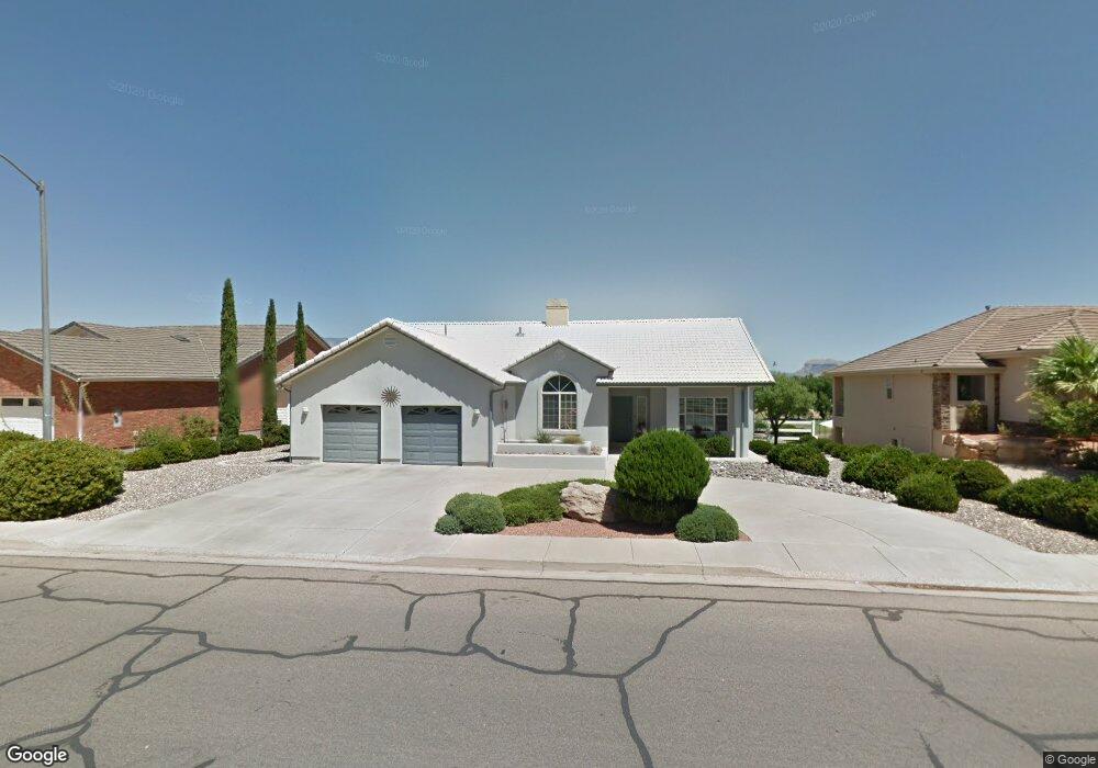
1942 Angell Heights Unit 7 Hurricane, UT 84737
Estimated Value: $528,007 - $630,000
3
Beds
2
Baths
1,904
Sq Ft
$302/Sq Ft
Est. Value
About This Home
This home is located at 1942 Angell Heights Unit 7, Hurricane, UT 84737 and is currently estimated at $574,502, approximately $301 per square foot. 1942 Angell Heights Unit 7 is a home located in Washington County with nearby schools including Hurricane Intermediate School, Three Falls School, and Hurricane High School.
Ownership History
Date
Name
Owned For
Owner Type
Purchase Details
Closed on
Jul 10, 2006
Sold by
Switzer Audrey R
Bought by
Lynch Tim E and Lynch Teri A
Current Estimated Value
Purchase Details
Closed on
Sep 9, 2005
Sold by
Switzer Audrey R
Bought by
Switzer Audrey R and The Audrey R Switzer Living Trust
Home Financials for this Owner
Home Financials are based on the most recent Mortgage that was taken out on this home.
Original Mortgage
$200,000
Interest Rate
5.76%
Mortgage Type
Credit Line Revolving
Purchase Details
Closed on
Sep 8, 2005
Sold by
Switzer Audrey R
Bought by
Switzer Audrey R
Home Financials for this Owner
Home Financials are based on the most recent Mortgage that was taken out on this home.
Original Mortgage
$200,000
Interest Rate
5.76%
Mortgage Type
Credit Line Revolving
Create a Home Valuation Report for This Property
The Home Valuation Report is an in-depth analysis detailing your home's value as well as a comparison with similar homes in the area
Home Values in the Area
Average Home Value in this Area
Purchase History
| Date | Buyer | Sale Price | Title Company |
|---|---|---|---|
| Lynch Tim E | -- | Southern Utah Title Co | |
| Switzer Audrey R | -- | Inwest Title Serivces Inc | |
| Switzer Audrey R | -- | Inwest Title Services Inc |
Source: Public Records
Mortgage History
| Date | Status | Borrower | Loan Amount |
|---|---|---|---|
| Previous Owner | Switzer Audrey R | $200,000 |
Source: Public Records
Tax History Compared to Growth
Tax History
| Year | Tax Paid | Tax Assessment Tax Assessment Total Assessment is a certain percentage of the fair market value that is determined by local assessors to be the total taxable value of land and additions on the property. | Land | Improvement |
|---|---|---|---|---|
| 2025 | $2,157 | $306,130 | $107,250 | $198,880 |
| 2023 | $327 | $290,125 | $77,000 | $213,125 |
| 2022 | $354 | $257,345 | $66,000 | $191,345 |
| 2021 | $200 | $349,900 | $80,000 | $269,900 |
| 2020 | $1,842 | $320,000 | $70,000 | $250,000 |
| 2019 | $1,811 | $305,200 | $70,000 | $235,200 |
| 2018 | $1,610 | $134,200 | $0 | $0 |
| 2017 | $1,513 | $126,170 | $0 | $0 |
| 2016 | $1,547 | $124,960 | $0 | $0 |
| 2015 | $47 | $116,435 | $0 | $0 |
| 2014 | $1,450 | $117,315 | $0 | $0 |
Source: Public Records
Map
Nearby Homes
- 1942 Angell Heights
- 1942 Angel Heights Dr
- 1922 Angel Heights Dr
- 1922 S Angell Heights Dr
- 1962 Angell Heights
- 1912 Angell Heights
- 398 W 1970 S
- 1988 Angell Heights
- 1988 Angell Heights
- 1913 S Angell Heights Dr
- 1902 Angell Heights
- 1913 Angell Heights
- 1913 Angel Heights Dr
- 1988 S Angell Heights Dr
- 393 W 1970 S
- 1882 Angell Heights
- 2023 S 540 W
- 2023 S Angell Heights Dr
- 1882 S Angell Heights Dr
- 404 W 2050 S