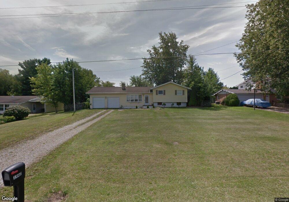
1942 Beal Rd Mansfield, OH 44903
Estimated Value: $182,643 - $213,000
3
Beds
1
Bath
1,656
Sq Ft
$122/Sq Ft
Est. Value
About This Home
This home is located at 1942 Beal Rd, Mansfield, OH 44903 and is currently estimated at $202,411, approximately $122 per square foot. 1942 Beal Rd is a home located in Richland County with nearby schools including Madison High School, St. Mary Catholic School, and Temple-Christian School.
Ownership History
Date
Name
Owned For
Owner Type
Purchase Details
Closed on
Jan 22, 2018
Sold by
Haslep Kenneth E and Haslep Elizabeth L
Bought by
Geddes Renee L
Current Estimated Value
Purchase Details
Closed on
Jan 16, 2003
Sold by
Heslep Kenneth E and Heslep Elizabeth L
Bought by
Heslep Kenneth E and Heslep Elizabeth L
Purchase Details
Closed on
Aug 1, 1986
Bought by
Heslep Kenneth E
Purchase Details
Closed on
Aug 1, 1985
Create a Home Valuation Report for This Property
The Home Valuation Report is an in-depth analysis detailing your home's value as well as a comparison with similar homes in the area
Home Values in the Area
Average Home Value in this Area
Purchase History
| Date | Buyer | Sale Price | Title Company |
|---|---|---|---|
| Geddes Renee L | -- | Chicago Title | |
| Heslep Scott E | -- | Chicago Title | |
| Heslep Kenneth E | -- | -- | |
| Heslep Kenneth E | $47,800 | -- | |
| -- | $46,900 | -- |
Source: Public Records
Tax History
| Year | Tax Paid | Tax Assessment Tax Assessment Total Assessment is a certain percentage of the fair market value that is determined by local assessors to be the total taxable value of land and additions on the property. | Land | Improvement |
|---|---|---|---|---|
| 2024 | $1,659 | $33,480 | $8,420 | $25,060 |
| 2023 | $1,659 | $33,480 | $8,420 | $25,060 |
| 2022 | $1,952 | $34,880 | $7,530 | $27,350 |
| 2021 | $1,951 | $34,880 | $7,530 | $27,350 |
| 2020 | $1,966 | $34,880 | $7,530 | $27,350 |
| 2019 | $1,874 | $29,550 | $6,380 | $23,170 |
| 2018 | $1,755 | $29,550 | $6,380 | $23,170 |
| 2017 | $1,745 | $29,550 | $6,380 | $23,170 |
| 2016 | $1,771 | $29,430 | $6,070 | $23,360 |
| 2015 | $1,771 | $29,430 | $6,070 | $23,360 |
| 2014 | $1,684 | $29,430 | $6,070 | $23,360 |
| 2012 | $837 | $30,970 | $6,380 | $24,590 |
Source: Public Records
Map
Nearby Homes
- 2202 Lakewood Dr
- 1359 N Stewart Rd
- 961 Neil Cir N
- 1990 Woodmont Rd
- 690 Ashland Rd
- 698 Hoover Rd
- 888 Beal Rd
- 811 Mayflower Ave
- 936 Becky Dr
- 2264 Crider Rd
- 573 Caldwell Ave
- 683 Coachman Rd
- 1168 ConcheMcO St
- 1217 Evergreen Ave W
- 1226 Evergreen Ave W
- 1674 Honeysuckle Dr
- 0 Wesley
- 632 Coachman Rd
- 644 Skyline Rd
- 602 Champion Rd
Your Personal Tour Guide
Ask me questions while you tour the home.