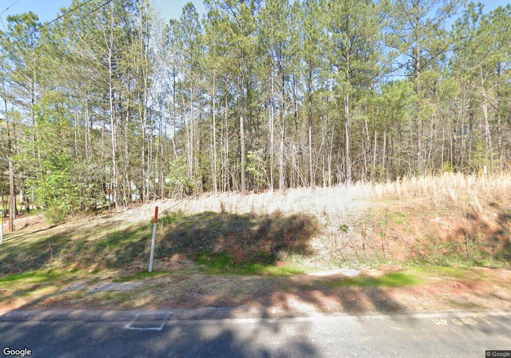
1942 Martin Rd Chapin, SC 29036
Estimated Value: $210,000 - $320,000
1
Bed
2
Baths
900
Sq Ft
$286/Sq Ft
Est. Value
About This Home
This home is located at 1942 Martin Rd, Chapin, SC 29036 and is currently estimated at $257,667, approximately $286 per square foot. 1942 Martin Rd is a home located in Richland County with nearby schools including Lake Murray Elementary School, Chapin Intermediate, and Chapin High School.
Ownership History
Date
Name
Owned For
Owner Type
Purchase Details
Closed on
Nov 17, 2005
Sold by
Hall David and Hall Kristy
Bought by
Fordham Teresa B
Current Estimated Value
Purchase Details
Closed on
Apr 25, 2003
Sold by
Martin Gary Rothell
Bought by
Hall David and Hall Kristy
Home Financials for this Owner
Home Financials are based on the most recent Mortgage that was taken out on this home.
Original Mortgage
$46,800
Interest Rate
5.6%
Mortgage Type
Purchase Money Mortgage
Create a Home Valuation Report for This Property
The Home Valuation Report is an in-depth analysis detailing your home's value as well as a comparison with similar homes in the area
Home Values in the Area
Average Home Value in this Area
Purchase History
| Date | Buyer | Sale Price | Title Company |
|---|---|---|---|
| Fordham Teresa B | $68,000 | -- | |
| Hall David | $52,000 | -- |
Source: Public Records
Mortgage History
| Date | Status | Borrower | Loan Amount |
|---|---|---|---|
| Previous Owner | Hall David | $46,800 |
Source: Public Records
Tax History Compared to Growth
Tax History
| Year | Tax Paid | Tax Assessment Tax Assessment Total Assessment is a certain percentage of the fair market value that is determined by local assessors to be the total taxable value of land and additions on the property. | Land | Improvement |
|---|---|---|---|---|
| 2023 | $7,077 | $0 | $0 | $0 |
| 2021 | $5,936 | $23,710 | $0 | $0 |
| 2020 | $6,160 | $23,710 | $0 | $0 |
| 2019 | $6,189 | $23,710 | $0 | $0 |
| 2018 | $4,955 | $20,620 | $0 | $0 |
| 2017 | $4,852 | $20,620 | $0 | $0 |
| 2016 | $4,812 | $20,620 | $0 | $0 |
| 2015 | $4,830 | $20,620 | $0 | $0 |
| 2014 | $4,759 | $483,600 | $0 | $0 |
| 2013 | -- | $20,620 | $0 | $0 |
Source: Public Records
Map
Nearby Homes
- 1125 Dan Comalander Dr
- 524 Triumph Rd
- 419 Saylor Hall Ln
- 0 Crooked Creek Rd
- TBD Crooked Creek Rd
- 0 Mt Olivet Church Rd Unit 617090
- 10 Doe Dr
- 230 Back Acres Rd
- E/S Old Hilton Rd
- TBD Haltiwanger Rd
- 1115 Portrait Hill Dr
- 1620 Washington Lever Rd
- 1137 Portrait Hill Dr
- 442 Maria Posada Ct
- 0 Woodthrush Rd
- 1511 Pet Sites Rd
- 405 Eagle Claw Ct
- 1078 White Rock Rd
- 100 Stone Hill Rd
- 317 Eagle Claw Dr
- 1920 Martin Rd
- 1922 Martin Rd
- 1910 Martin Rd
- 0 Martin Rd Unit 314091
- 1931 Martin Rd
- 1947 Martin Rd
- 1943 Martin Rd
- 1957 Martin Rd
- 1951 Martin Rd
- 1937 Martin Rd
- 1949 Martin Rd
- 1901 Martin Rd
- 2143 Chapin Rd
- 2141 Chapin Rd
- 2000 Martin Rd
- 2147 Chapin Rd
- 1819 Martin Rd
- 870 Haltiwanger Rd
- 2010 Berea Rd
- 2010 Berea Rd
