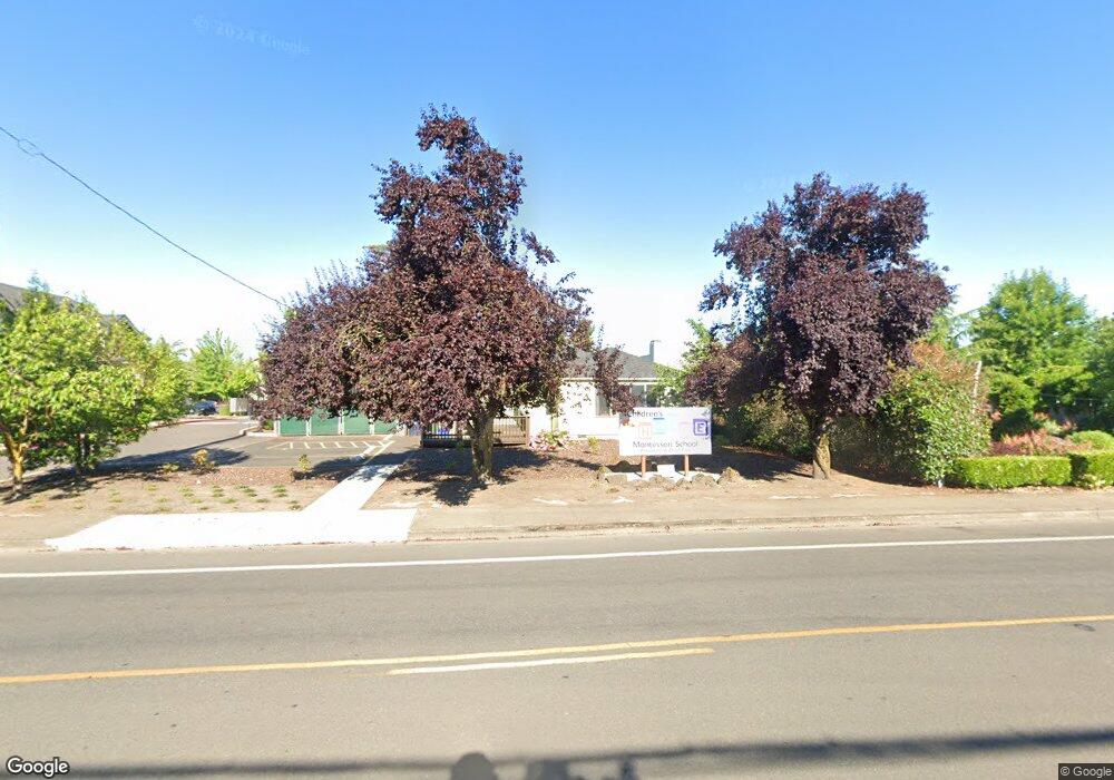
1942 N 5th St Springfield, OR 97477
North Springfield NeighborhoodEstimated Value: $390,000 - $486,000
3
Beds
2
Baths
1,430
Sq Ft
$307/Sq Ft
Est. Value
About This Home
This home is located at 1942 N 5th St, Springfield, OR 97477 and is currently estimated at $439,693, approximately $307 per square foot. 1942 N 5th St is a home located in Lane County with nearby schools including Elizabeth Page Elementary School, Hamlin Middle School, and Springfield High School.
Ownership History
Date
Name
Owned For
Owner Type
Purchase Details
Closed on
Nov 17, 2008
Sold by
Mcquillan Carla Janine Edmonds and Mcquillan Lucas Paul
Bought by
Cladd Enterprises Llc
Current Estimated Value
Purchase Details
Closed on
Jul 3, 2007
Sold by
Vanhorbek Judd and Van Horbek Marilyn C
Bought by
Mcquillan Lucas P and Mcquillan Carla J
Home Financials for this Owner
Home Financials are based on the most recent Mortgage that was taken out on this home.
Original Mortgage
$265,500
Interest Rate
6.36%
Mortgage Type
Purchase Money Mortgage
Create a Home Valuation Report for This Property
The Home Valuation Report is an in-depth analysis detailing your home's value as well as a comparison with similar homes in the area
Home Values in the Area
Average Home Value in this Area
Purchase History
| Date | Buyer | Sale Price | Title Company |
|---|---|---|---|
| Cladd Enterprises Llc | -- | None Available | |
| Mcquillan Lucas P | $375,000 | Fidelity National Title Insu |
Source: Public Records
Mortgage History
| Date | Status | Borrower | Loan Amount |
|---|---|---|---|
| Previous Owner | Mcquillan Lucas P | $265,500 |
Source: Public Records
Tax History
| Year | Tax Paid | Tax Assessment Tax Assessment Total Assessment is a certain percentage of the fair market value that is determined by local assessors to be the total taxable value of land and additions on the property. | Land | Improvement |
|---|---|---|---|---|
| 2025 | -- | $159,564 | -- | -- |
| 2024 | -- | $154,917 | -- | -- |
| 2023 | -- | $150,405 | $0 | $0 |
| 2022 | $0 | $146,025 | $0 | $0 |
| 2021 | $0 | $141,772 | $0 | $0 |
| 2020 | $0 | $137,643 | $0 | $0 |
| 2019 | $0 | $133,634 | $0 | $0 |
| 2018 | $0 | $125,963 | $0 | $0 |
| 2017 | $0 | $125,963 | $0 | $0 |
| 2016 | -- | $122,294 | $0 | $0 |
| 2015 | -- | $118,732 | $0 | $0 |
| 2014 | -- | $148,914 | $0 | $0 |
Source: Public Records
Map
Nearby Homes
Your Personal Tour Guide
Ask me questions while you tour the home.