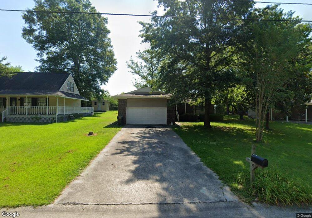
1942 Poplar Dr SW Cullman, AL 35055
Estimated Value: $182,510 - $232,000
--
Bed
1
Bath
1,220
Sq Ft
$168/Sq Ft
Est. Value
About This Home
This home is located at 1942 Poplar Dr SW, Cullman, AL 35055 and is currently estimated at $204,878, approximately $167 per square foot. 1942 Poplar Dr SW is a home located in Cullman County with nearby schools including Cullman City Primary School, Cullman Middle School, and Cullman High School.
Ownership History
Date
Name
Owned For
Owner Type
Purchase Details
Closed on
Aug 30, 2019
Sold by
Gray Ranelle H
Bought by
Brown Justin M
Current Estimated Value
Home Financials for this Owner
Home Financials are based on the most recent Mortgage that was taken out on this home.
Original Mortgage
$137,171
Outstanding Balance
$120,397
Interest Rate
3.7%
Mortgage Type
New Conventional
Estimated Equity
$84,481
Create a Home Valuation Report for This Property
The Home Valuation Report is an in-depth analysis detailing your home's value as well as a comparison with similar homes in the area
Home Values in the Area
Average Home Value in this Area
Purchase History
| Date | Buyer | Sale Price | Title Company |
|---|---|---|---|
| Brown Justin M | $135,800 | Stewart & Associates Pc |
Source: Public Records
Mortgage History
| Date | Status | Borrower | Loan Amount |
|---|---|---|---|
| Open | Brown Justin M | $137,171 |
Source: Public Records
Tax History Compared to Growth
Tax History
| Year | Tax Paid | Tax Assessment Tax Assessment Total Assessment is a certain percentage of the fair market value that is determined by local assessors to be the total taxable value of land and additions on the property. | Land | Improvement |
|---|---|---|---|---|
| 2024 | $622 | $17,320 | $0 | $0 |
| 2023 | $622 | $16,440 | $0 | $0 |
| 2022 | $506 | $14,320 | $0 | $0 |
| 2021 | $442 | $12,640 | $0 | $0 |
| 2020 | $417 | $12,000 | $0 | $0 |
| 2019 | $886 | $23,000 | $0 | $0 |
| 2018 | $842 | $21,880 | $0 | $0 |
| 2017 | $780 | $20,260 | $0 | $0 |
| 2016 | $780 | $20,260 | $0 | $0 |
| 2014 | $323 | $10,680 | $0 | $0 |
Source: Public Records
Map
Nearby Homes
- 2007 Adelshiem Cir SW
- 1941 Dialsdale Dr SW
- 2106 Dialsdale Dr SW
- 2036 Larry Ave SW
- 4701 County Road 437 Unit Lot 4
- 4701 County Road 437 Unit Lot 3
- 4701 County Road 437 Unit Lot 2
- 4701 County Road 437 Unit Lot 1
- 4701 County Road 437 Unit Lot 1-4
- 1417 Cottonwood Ln SE
- 1816 Briarwood Ln SE
- .5 Acres County Road 437
- 0 Lee Ave SW
- 1427 Timberlane Dr SE
- 0 Miller St SW
- 1109 Swafford Rd SW
- 911 Olive St SW
- 1714 Meadowbrook Dr SE
- 1705 Derby Dr
- 0 Derby Dr Unit 15,17,18, 20,21
- 1944 Poplar Dr SW
- 1938 Poplar Dr SW
- 75 Poplar Ct
- 1948 Poplar Dr SW
- 1936 Poplar Dr SW
- 1941 Popular Dr
- 1941 Poplar Dr SW
- 1937 2nd Ave SW
- 1943 Poplar Dr SW
- 1937 Poplar Dr SW
- 1932 Poplar Dr SW
- 1947 Poplar Dr SW
- 1935 Poplar Dr SW
- 1952 Poplar Dr SW
- 209 Swafford Rd SW
- 1931 Poplar Dr SW
- 1951 Poplar Dr SW
- 1928 Poplar Dr SW
- 1929 Poplar Dr SW
- 1924 Poplar Dr SW