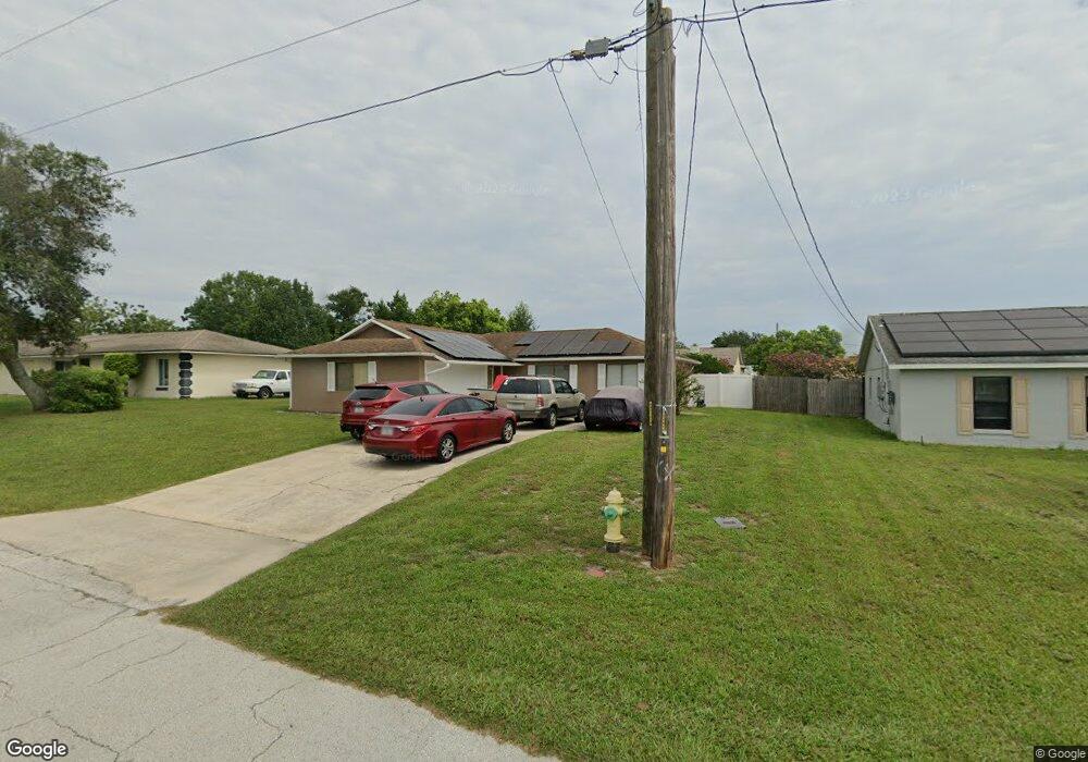
1942 Stanton St Deltona, FL 32738
Estimated Value: $241,658 - $262,000
3
Beds
2
Baths
1,177
Sq Ft
$217/Sq Ft
Est. Value
About This Home
This home is located at 1942 Stanton St, Deltona, FL 32738 and is currently estimated at $255,165, approximately $216 per square foot. 1942 Stanton St is a home located in Volusia County with nearby schools including Deltona Lakes Elementary School, Heritage Middle School, and Pine Ridge High School.
Ownership History
Date
Name
Owned For
Owner Type
Purchase Details
Closed on
May 4, 2010
Sold by
Henderson Donald Ray and Athey Shirley Faye
Bought by
Henderson Donald Ray
Current Estimated Value
Purchase Details
Closed on
Jul 15, 1990
Bought by
Henderson Donald Ray
Purchase Details
Closed on
May 15, 1985
Bought by
Henderson Donald Ray
Purchase Details
Closed on
Jan 15, 1985
Bought by
Henderson Donald Ray
Purchase Details
Closed on
Mar 15, 1972
Bought by
Henderson Donald Ray
Create a Home Valuation Report for This Property
The Home Valuation Report is an in-depth analysis detailing your home's value as well as a comparison with similar homes in the area
Home Values in the Area
Average Home Value in this Area
Purchase History
| Date | Buyer | Sale Price | Title Company |
|---|---|---|---|
| Henderson Donald Ray | -- | Attorney | |
| Henderson Donald Ray | $64,500 | -- | |
| Henderson Donald Ray | $49,200 | -- | |
| Henderson Donald Ray | $5,000 | -- | |
| Henderson Donald Ray | $1,200 | -- |
Source: Public Records
Tax History Compared to Growth
Tax History
| Year | Tax Paid | Tax Assessment Tax Assessment Total Assessment is a certain percentage of the fair market value that is determined by local assessors to be the total taxable value of land and additions on the property. | Land | Improvement |
|---|---|---|---|---|
| 2025 | $879 | $64,376 | -- | -- |
| 2024 | $879 | $62,562 | -- | -- |
| 2023 | $879 | $60,740 | $0 | $0 |
| 2022 | $884 | $58,971 | $0 | $0 |
| 2021 | $913 | $57,253 | $0 | $0 |
| 2020 | $911 | $56,463 | $0 | $0 |
| 2019 | $929 | $55,194 | $0 | $0 |
| 2018 | $918 | $54,165 | $0 | $0 |
| 2017 | $904 | $53,051 | $0 | $0 |
| 2016 | $889 | $51,960 | $0 | $0 |
| 2015 | $905 | $51,599 | $0 | $0 |
| 2014 | $881 | $51,189 | $0 | $0 |
Source: Public Records
Map
Nearby Homes
- 1961 Paragon St
- 1922 Marlow St
- 1113 Fort Smith Blvd
- 1082 Worthington Dr
- 1057 Fort Smith Blvd
- 2067 Everest St
- 2180 MacHardy Rd
- 1422 W Orion Cir
- 968 Fort Smith Blvd
- 1179 Snowden Ave
- 2103 Watersedge Dr
- 973 Radford Dr
- 1656 Brentlawn St
- 1649 Weybridge St
- 2046 Galahad Dr
- 2090 Lakebreeze Way
- 1501 Fort Smith Blvd
- 1762 Philadelphia Ct
- 1771 S Village Dr
- 1131 W Page Dr
- 1952 Stanton St
- 1932 Stanton St
- 1941 Peoria St Unit 12
- 1951 Peoria St
- 1931 Peoria St
- 1962 Stanton St
- 1922 Stanton St
- 1931 Stanton St
- 1961 Peoria St
- 1921 Peoria St
- 1961 Stanton St
- 1921 Stanton St Unit 13
- 1912 Stanton St
- 1150 Worthington Dr
- 1911 Peoria St
- 1171 Swanson Dr
- 1160 Worthington Dr
- 1911 Stanton St
- 1170 Swanson Dr
- 1170 Worthington Dr