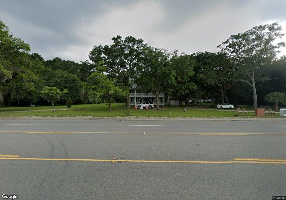
1942 Trask Pkwy Seabrook, SC 29940
Estimated Value: $457,000 - $599,000
1
Bed
1
Bath
3,656
Sq Ft
$140/Sq Ft
Est. Value
About This Home
This home is located at 1942 Trask Pkwy, Seabrook, SC 29940 and is currently estimated at $510,784, approximately $139 per square foot. 1942 Trask Pkwy is a home located in Beaufort County with nearby schools including Whale Branch Elementary School, Whale Branch Middle School, and Whale Branch Early College High School.
Ownership History
Date
Name
Owned For
Owner Type
Purchase Details
Closed on
Dec 18, 2015
Sold by
Franklin Mock William and Monroe Mock Makinzi
Bought by
Franklin Mock William and Monroe Mock Makinzi
Current Estimated Value
Purchase Details
Closed on
Nov 8, 2002
Sold by
Galloway Vivian
Bought by
Galloway William A and Galloway Vivian
Home Financials for this Owner
Home Financials are based on the most recent Mortgage that was taken out on this home.
Original Mortgage
$77,000
Interest Rate
5.98%
Mortgage Type
Purchase Money Mortgage
Create a Home Valuation Report for This Property
The Home Valuation Report is an in-depth analysis detailing your home's value as well as a comparison with similar homes in the area
Home Values in the Area
Average Home Value in this Area
Purchase History
| Date | Buyer | Sale Price | Title Company |
|---|---|---|---|
| Franklin Mock William | -- | Attorney | |
| Galloway William A | -- | -- |
Source: Public Records
Mortgage History
| Date | Status | Borrower | Loan Amount |
|---|---|---|---|
| Closed | Galloway William A | $77,000 |
Source: Public Records
Tax History Compared to Growth
Tax History
| Year | Tax Paid | Tax Assessment Tax Assessment Total Assessment is a certain percentage of the fair market value that is determined by local assessors to be the total taxable value of land and additions on the property. | Land | Improvement |
|---|---|---|---|---|
| 2024 | $6,032 | $15,076 | $8,160 | $6,916 |
| 2023 | $6,032 | $15,076 | $8,160 | $6,916 |
| 2022 | $3,432 | $12,050 | $0 | $0 |
| 2021 | $3,357 | $12,050 | $0 | $0 |
| 2020 | $3,273 | $12,050 | $0 | $0 |
| 2019 | $3,232 | $12,050 | $0 | $0 |
| 2018 | $3,043 | $12,050 | $0 | $0 |
| 2017 | $2,778 | $10,480 | $0 | $0 |
| 2016 | $2,709 | $10,480 | $0 | $0 |
| 2014 | $1,887 | $10,480 | $0 | $0 |
Source: Public Records
Map
Nearby Homes
- 10 N Huspah Ct
- 206 Marsh Point Dr
- 206 Marsh Point Dr
- 2074 Trask Pkwy
- 76 Priester Rd
- 20 Crystal St
- 146 Stuart Point Rd
- 59 Seabrook Center Rd
- 67 Seabrook Center Rd
- 55 Seabrook Center Rd
- 18 N Breeze Island
- 18 N Breeze Island
- 10 Shadow Ln
- 25 Unity Ln
- 246 Stuart Point Rd
- 108 Stuart Point Rd
- 26 Unity Ln
- 24 Unity Ln
- 22 Unity Ln
- 1898 Trask Pkwy
- 19 H E Wilson Ln
- 18 H E Wilson Ln
- 1952 Trask Pkwy
- 41 H E Wilson Ln
- 23 H E Wilson Ln
- 22 H E Wilson Ln
- 38 H E Wilson Ln
- 40 H E Wilson Ln
- 32 H E Wilson Ln
- 28 H E Wilson Ln
- 1890 Trask Pkwy
- 1958 Trask Pkwy
- 1887 Trask Pkwy
- 1956 Trask Pkwy
- 1884 Trask Pkwy
- 21 Huspa Creek Dr
- 1880 Trask Pkwy
- 10 Fertile Rd
- 1965 Trask Pkwy