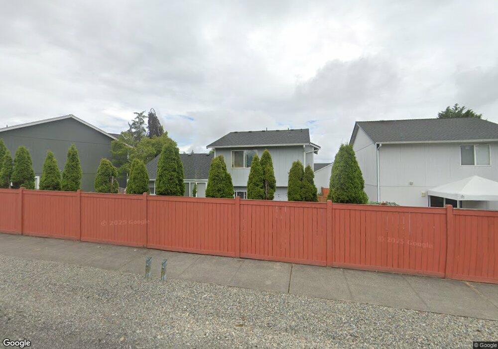
19421 77th Avenue Ct E Spanaway, WA 98387
Estimated Value: $477,629 - $500,000
--
Bed
2
Baths
1,524
Sq Ft
$321/Sq Ft
Est. Value
About This Home
This home is located at 19421 77th Avenue Ct E, Spanaway, WA 98387 and is currently estimated at $489,157, approximately $320 per square foot. 19421 77th Avenue Ct E is a home located in Pierce County with nearby schools including Pioneer Valley Elementary School, Liberty Middle School, and Graham Kapowsin High School.
Ownership History
Date
Name
Owned For
Owner Type
Purchase Details
Closed on
Oct 9, 1997
Sold by
Sound Built Homes Inc
Bought by
Dean George A and Hancock Dean Shari E
Current Estimated Value
Home Financials for this Owner
Home Financials are based on the most recent Mortgage that was taken out on this home.
Original Mortgage
$112,000
Outstanding Balance
$18,057
Interest Rate
7.49%
Estimated Equity
$471,100
Create a Home Valuation Report for This Property
The Home Valuation Report is an in-depth analysis detailing your home's value as well as a comparison with similar homes in the area
Home Values in the Area
Average Home Value in this Area
Purchase History
| Date | Buyer | Sale Price | Title Company |
|---|---|---|---|
| Dean George A | $125,900 | First American Title Ins Co |
Source: Public Records
Mortgage History
| Date | Status | Borrower | Loan Amount |
|---|---|---|---|
| Open | Dean George A | $112,000 |
Source: Public Records
Tax History Compared to Growth
Tax History
| Year | Tax Paid | Tax Assessment Tax Assessment Total Assessment is a certain percentage of the fair market value that is determined by local assessors to be the total taxable value of land and additions on the property. | Land | Improvement |
|---|---|---|---|---|
| 2025 | $4,531 | $418,300 | $166,400 | $251,900 |
| 2024 | $4,531 | $402,500 | $160,400 | $242,100 |
| 2023 | $4,531 | $383,900 | $166,400 | $217,500 |
| 2022 | $4,363 | $398,300 | $153,300 | $245,000 |
| 2021 | $4,083 | $288,200 | $109,100 | $179,100 |
| 2019 | $3,089 | $258,900 | $90,400 | $168,500 |
| 2018 | $3,489 | $243,900 | $83,500 | $160,400 |
| 2017 | $3,113 | $221,000 | $72,900 | $148,100 |
| 2016 | $2,847 | $177,500 | $54,800 | $122,700 |
| 2014 | $2,486 | $166,100 | $54,800 | $111,300 |
| 2013 | $2,486 | $153,100 | $50,300 | $102,800 |
Source: Public Records
Map
Nearby Homes
- 7911 195th St E
- 19219 76th Ave E
- 7615 198th St E
- 8102 195th St E Unit 95
- 19304 74th Ave E
- 8214 191st St E
- 7211 193rd St E
- 7423 188th Street Ct E Unit 26
- 7228 200th Street Ct E
- 20110 84th Ave E
- 21700 70th Ave E
- 21800 70th Ave E
- 7812 203rd Street Ct E
- 20224 82nd Avenue Ct E
- 7211 188th Street Ct E
- 70th 72nd Ave E
- 7911 204th Street Ct E
- 8701 198th St E
- 20307 82nd Avenue Ct E
- The Blanca Lake Plan at Timber Ridge Estates
- 19417 77th Avenue Ct E
- 19425 77th Avenue Ct E
- 7914 195th St Ct E
- 7707 195th Street Ct E
- 19413 77th Avenue Ct E
- 7714 195th Street Ct E
- 7710 195th Street Ct E
- 19409 77th Avenue Ct E
- 7706 195th Street Ct E
- 19508 78th Avenue Ct E
- 7710 194th Street Ct E
- 19512 78th Avenue Ct E
- 19422 78th Avenue Ct E
- 19516 78th Avenue Ct E
- 19405 77th Avenue Ct E
- 7702 195th Street Ct E
- 19520 78th Avenue Ct E
- 19414 78th Avenue Ct E
- 19406 77th Avenue Ct E