19425 S Duncan Rd Spangle, WA 99031
Estimated Value: $902,000 - $934,000
7
Beds
7
Baths
3,896
Sq Ft
$235/Sq Ft
Est. Value
About This Home
This home is located at 19425 S Duncan Rd, Spangle, WA 99031 and is currently estimated at $916,796, approximately $235 per square foot. 19425 S Duncan Rd is a home located in Spokane County with nearby schools including Liberty Elementary/Junior High School and Liberty High School.
Ownership History
Date
Name
Owned For
Owner Type
Purchase Details
Closed on
Jan 23, 2020
Sold by
Rivas Scott and Rivas Kimberly
Bought by
The Forest Surrounds Us Llc
Current Estimated Value
Purchase Details
Closed on
Oct 4, 2018
Sold by
Gee Marvin R and Gee Karen M
Bought by
Rivas Scott and Rivas Kimberly
Create a Home Valuation Report for This Property
The Home Valuation Report is an in-depth analysis detailing your home's value as well as a comparison with similar homes in the area
Purchase History
| Date | Buyer | Sale Price | Title Company |
|---|---|---|---|
| The Forest Surrounds Us Llc | -- | None Available | |
| Rivas Scott | $214,240 | First American Title Ins Co |
Source: Public Records
Tax History
| Year | Tax Paid | Tax Assessment Tax Assessment Total Assessment is a certain percentage of the fair market value that is determined by local assessors to be the total taxable value of land and additions on the property. | Land | Improvement |
|---|---|---|---|---|
| 2025 | $7,065 | $927,600 | $140,000 | $787,600 |
| 2024 | $7,065 | $830,500 | $142,000 | $688,500 |
| 2023 | $7,104 | $894,900 | $92,300 | $802,600 |
| 2022 | $6,801 | $872,100 | $92,300 | $779,800 |
| 2021 | $7,282 | $676,900 | $62,000 | $614,900 |
| 2020 | $6,894 | $621,600 | $62,000 | $559,600 |
| 2019 | $6,137 | $589,500 | $59,000 | $530,500 |
| 2018 | $4,513 | $367,600 | $55,000 | $312,600 |
| 2017 | $4,331 | $364,890 | $55,890 | $309,000 |
| 2016 | $3,603 | $333,600 | $56,000 | $277,600 |
| 2015 | $3,387 | $296,300 | $29,000 | $267,300 |
| 2014 | -- | $279,900 | $28,100 | $251,800 |
| 2013 | -- | $0 | $0 | $0 |
Source: Public Records
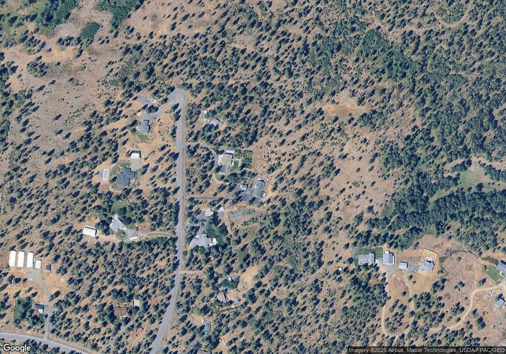
Map
Nearby Homes
- 102 E Cameron Rd
- 18616 S Smythe Rd
- 4408 E Spangle Creek Rd
- 21608 S Mill Rd
- 3013 E Watt Rd
- 20xxx S Parker Rd
- XXX E Cornwall Rd
- 15010 S Stentz Rd
- 365 N Pine St
- Lot 2 Nka Cheney Spangle Rd Unit Parcel 32085.9041
- 1112 E Jennings Rd
- 16621 S Sherman Rd
- 19212 S Aspen Meadows Dr
- 14211 S Keeney Rd
- 13417 S Bluegrouse Ln
- 1305 E Wildflower Ln
- 1517 E Wildflower Ln
- NNA S Serenity Ln
- 1607 E Wildflower Ln
- 16771 S Sherman Rd
- 19315 S Duncan Rd
- 19507 S Duncan Rd
- 19312 S Duncan Rd
- 19430 S Duncan Rd
- 19510 S Duncan Rd
- 19607 S Duncan Rd
- 19630 S Sunny Meadow Ln
- 1821 E Smythe Rd
- 19705 S Duncan Rd
- 19622 S Sunny Meadow Ln
- 19300 S Duncan Rd
- 1711 E Smythe Rd
- 2009 E Smythe Rd
- 20208 S Spangle Creek Rd
- 1906 E Smythe Rd
- 1611 E Smythe Rd
- 19615 S Sunny Meadow Ln
- 2018 E Smythe Rd
- 2018 E Smythe Rd Unit 15 minutes South of
- 2021 E Smythe Rd