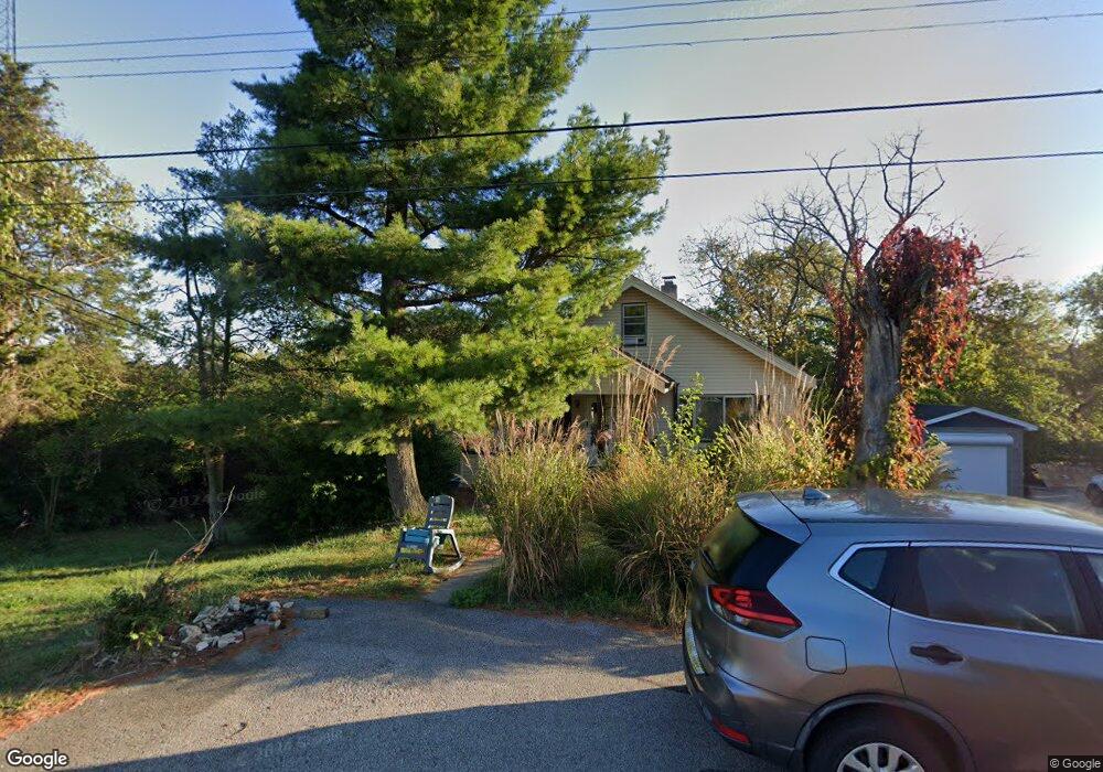
1943 Blair Ave Highland Heights, KY 41076
Estimated Value: $187,000 - $220,000
3
Beds
1
Bath
1,302
Sq Ft
$151/Sq Ft
Est. Value
About This Home
This home is located at 1943 Blair Ave, Highland Heights, KY 41076 and is currently estimated at $196,351, approximately $150 per square foot. 1943 Blair Ave is a home located in Campbell County with nearby schools including Crossroads Elementary School, Campbell County Middle School, and Campbell County High School.
Ownership History
Date
Name
Owned For
Owner Type
Purchase Details
Closed on
Dec 10, 2015
Sold by
Holzman Evan and Holzman Evan Mark
Bought by
Holzman Evan Mark and The Evan Mark Holzman Trust
Current Estimated Value
Purchase Details
Closed on
Feb 6, 2012
Sold by
Holzman Susan and Holzman Evan
Bought by
Holzman Evan and Holzman Susan
Purchase Details
Closed on
May 16, 2002
Sold by
Teegarden Steven N
Bought by
Holzman Evan
Home Financials for this Owner
Home Financials are based on the most recent Mortgage that was taken out on this home.
Original Mortgage
$76,400
Outstanding Balance
$36,333
Interest Rate
8.75%
Mortgage Type
New Conventional
Estimated Equity
$160,018
Create a Home Valuation Report for This Property
The Home Valuation Report is an in-depth analysis detailing your home's value as well as a comparison with similar homes in the area
Home Values in the Area
Average Home Value in this Area
Purchase History
| Date | Buyer | Sale Price | Title Company |
|---|---|---|---|
| Holzman Evan Mark | -- | None Available | |
| Holzman Evan | -- | None Available | |
| Holzman Evan | $95,500 | -- |
Source: Public Records
Mortgage History
| Date | Status | Borrower | Loan Amount |
|---|---|---|---|
| Open | Holzman Evan | $76,400 |
Source: Public Records
Tax History Compared to Growth
Tax History
| Year | Tax Paid | Tax Assessment Tax Assessment Total Assessment is a certain percentage of the fair market value that is determined by local assessors to be the total taxable value of land and additions on the property. | Land | Improvement |
|---|---|---|---|---|
| 2024 | $1,033 | $130,500 | $25,000 | $105,500 |
| 2023 | $1,010 | $130,500 | $25,000 | $105,500 |
| 2022 | $915 | $109,500 | $12,100 | $97,400 |
| 2021 | $915 | $109,500 | $12,100 | $97,400 |
| 2020 | $939 | $109,500 | $12,100 | $97,400 |
| 2019 | $1,402 | $109,500 | $12,100 | $97,400 |
| 2018 | $1,343 | $103,900 | $12,800 | $91,100 |
| 2017 | $1,325 | $103,900 | $12,800 | $91,100 |
| 2016 | $1,284 | $103,900 | $0 | $0 |
| 2015 | $1,304 | $103,900 | $0 | $0 |
| 2014 | $1,272 | $103,900 | $0 | $0 |
Source: Public Records
Map
Nearby Homes
- 2051 Alexandria Pike
- 68 Crowell Ave
- 42 Concord Ave
- 116-120 Hawthorne Ave
- 48 Bonnie Ln
- 233 Sunset Dr
- 214 Grant St
- 258 Sergeant Ave
- 223 Mulberry Ct
- 0 Dale Ave Unit 636350
- 5050 Holtz Dr
- 57 Brentwood Place
- 37 Delta Ave
- 150 Valley View Dr
- 98 Bon Jan Ln
- 4915 Winters Ln
- 150 Shamrock Ln
- 10 Pinnacle Dr
- 91 Grandview Ave
- 923 Fairbanks Ln
- 1949 Blair Ave
- 1930 Taylor Ave
- 1950 Blair Ave
- 1920 Taylor Ave
- 1955 Blair Ave
- 120 Singleton Ave
- 188 Taylor Ave
- 187 Taylor Ave
- 186 Taylor Ave
- 185 Taylor Ave
- 184 Taylor Ave
- 5 Lots Taylor Ave
- 1914 Taylor Ave
- 1960 Taylor Ave
- 110 Singleton Ave
- 1935 Taylor Ave
- 1927 Taylor Ave
- 1904 Taylor Ave
- 125 Dale Rd
- 127 Dale Rd