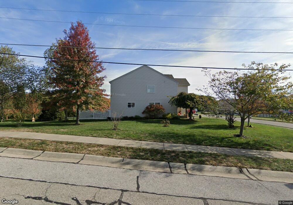
1943 Bridle Path Independence, KY 41051
Estimated Value: $383,000 - $435,000
4
Beds
3
Baths
2,641
Sq Ft
$154/Sq Ft
Est. Value
About This Home
This home is located at 1943 Bridle Path, Independence, KY 41051 and is currently estimated at $407,670, approximately $154 per square foot. 1943 Bridle Path is a home located in Kenton County with nearby schools including Simon Kenton High School, St. Cecilia Catholic School, and Calvary Christian School.
Ownership History
Date
Name
Owned For
Owner Type
Purchase Details
Closed on
Jun 4, 2011
Sold by
Stimpson Jeffrey L and Stimpson Carrie L
Bought by
Uhl Daniel C and Uhl Malissa M
Current Estimated Value
Home Financials for this Owner
Home Financials are based on the most recent Mortgage that was taken out on this home.
Original Mortgage
$152,000
Outstanding Balance
$104,439
Interest Rate
4.79%
Mortgage Type
New Conventional
Estimated Equity
$303,231
Purchase Details
Closed on
Mar 9, 2007
Sold by
The Drees Co
Bought by
Stimpson Jeffrey L and Stimpson Carrie L
Home Financials for this Owner
Home Financials are based on the most recent Mortgage that was taken out on this home.
Original Mortgage
$169,600
Interest Rate
6.18%
Mortgage Type
Purchase Money Mortgage
Purchase Details
Closed on
Aug 29, 2006
Sold by
Great Development Properties Inc
Bought by
The Drees Co
Create a Home Valuation Report for This Property
The Home Valuation Report is an in-depth analysis detailing your home's value as well as a comparison with similar homes in the area
Home Values in the Area
Average Home Value in this Area
Purchase History
We collect this data history from publicly available records. To have your information removed, we recommend requesting removal directly through your county’s website.
| Date | Buyer | Sale Price | Title Company |
|---|---|---|---|
| Uhl Daniel C | $190,000 | Lawyers Title Of Cincinnati | |
| Stimpson Jeffrey L | $212,550 | Classic Title Agency Llc | |
| The Drees Co | -- | None Available |
Source: Public Records
Mortgage History
We collect this data history from publicly available records. To have your information removed, we recommend requesting removal directly through your county’s website.
| Date | Status | Borrower | Loan Amount |
|---|---|---|---|
| Open | Uhl Daniel C | $152,000 | |
| Previous Owner | Stimpson Jeffrey L | $169,600 |
Source: Public Records
Tax History
| Year | Tax Paid | Tax Assessment Tax Assessment Total Assessment is a certain percentage of the fair market value that is determined by local assessors to be the total taxable value of land and additions on the property. | Land | Improvement |
|---|---|---|---|---|
| 2025 | $3,834 | $329,700 | $40,000 | $289,700 |
| 2024 | $2,734 | $223,200 | $35,000 | $188,200 |
| 2023 | $2,817 | $223,200 | $35,000 | $188,200 |
| 2022 | $2,875 | $223,200 | $35,000 | $188,200 |
| 2021 | $2,918 | $223,200 | $35,000 | $188,200 |
| 2020 | $2,547 | $190,000 | $35,000 | $155,000 |
| 2019 | $2,554 | $190,000 | $35,000 | $155,000 |
| 2018 | $2,567 | $190,000 | $35,000 | $155,000 |
| 2017 | $2,497 | $190,000 | $35,000 | $155,000 |
| 2015 | $2,426 | $190,000 | $36,500 | $153,500 |
| 2014 | $2,392 | $190,000 | $36,500 | $153,500 |
Source: Public Records
Map
Nearby Homes
- 2146 Golden Valley Dr
- 4758 Fowler Creek Rd
- 2072 Crown Vetch Dr
- 4740 Fowler Creek Rd
- 4730 Fowler Creek Rd
- 2211 Summerlin St
- 1542 Crosswinds Dr
- 2203 Custer Ln
- 3910 Eagleledge Ct
- 1517 Crosswinds Dr
- 4949 Scenic Ridge Ln
- 3852 Sherbourne Dr
- 1464 Shirepeak Way
- 1463 Twinridge Way
- 49 Sylvan Dr
- 1443 Shirepeak Way
- 5114 Christopher Dr
- 40 Pelly Rd
- 29 Sherwood Dr
- 2016 Gribble Dr
- 4854 Far Hills Dr
- 4860 Far Hills Dr
- 1942 Yale Ave
- 1946 Yale Ave
- 1947 Bridle Path
- 1951 Bridle Path
- 1950 Yale Ave
- 1955 Bridle Path
- 1951 Yale Ave
- 1937 Bridle Path
- 1959 Bridle Path
- 1954 Yale Ave
- 4851 Far Hills Dr
- 4843 Far Hills Dr
- 4827 Far Hills Dr
- 4871 Colony Square Dr
- 1933 Bridle Path
- 4872 Far Hills Dr
- 1963 Bridle Path
- 1929 Bridle Path Unit 13
Your Personal Tour Guide
Ask me questions while you tour the home.