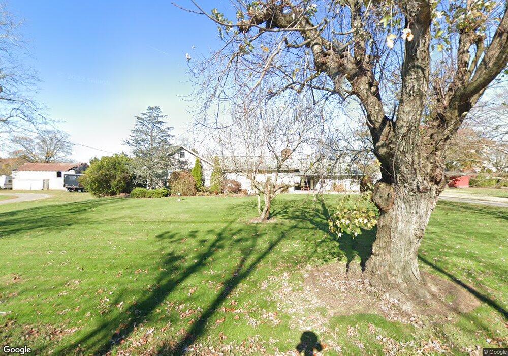
1943 Forest Grove Rd Vineland, NJ 08360
Franklin Township NeighborhoodEstimated Value: $363,000 - $556,000
3
Beds
3
Baths
2,728
Sq Ft
$161/Sq Ft
Est. Value
About This Home
This home is located at 1943 Forest Grove Rd, Vineland, NJ 08360 and is currently estimated at $439,046, approximately $160 per square foot. 1943 Forest Grove Rd is a home located in Gloucester County with nearby schools including Delsea Regional Middle School, Delsea Regional High School, and Emmanuel Day School.
Ownership History
Date
Name
Owned For
Owner Type
Purchase Details
Closed on
Dec 13, 2011
Sold by
Crescitelli Nicondro M
Bought by
Anconetani Robert and Anconetani Linda
Current Estimated Value
Home Financials for this Owner
Home Financials are based on the most recent Mortgage that was taken out on this home.
Original Mortgage
$165,690
Outstanding Balance
$114,641
Interest Rate
4.25%
Mortgage Type
FHA
Estimated Equity
$324,405
Create a Home Valuation Report for This Property
The Home Valuation Report is an in-depth analysis detailing your home's value as well as a comparison with similar homes in the area
Home Values in the Area
Average Home Value in this Area
Purchase History
| Date | Buyer | Sale Price | Title Company |
|---|---|---|---|
| Anconetani Robert | $170,000 | Foundation Title Llc |
Source: Public Records
Mortgage History
| Date | Status | Borrower | Loan Amount |
|---|---|---|---|
| Open | Anconetani Robert | $165,690 |
Source: Public Records
Tax History Compared to Growth
Tax History
| Year | Tax Paid | Tax Assessment Tax Assessment Total Assessment is a certain percentage of the fair market value that is determined by local assessors to be the total taxable value of land and additions on the property. | Land | Improvement |
|---|---|---|---|---|
| 2025 | $7,965 | $206,300 | $27,000 | $179,300 |
| 2024 | $7,778 | $206,300 | $27,000 | $179,300 |
| 2023 | $7,778 | $206,300 | $27,000 | $179,300 |
| 2022 | $7,573 | $206,300 | $27,000 | $179,300 |
| 2021 | $7,466 | $206,300 | $27,000 | $179,300 |
| 2020 | $7,388 | $206,300 | $27,000 | $179,300 |
| 2019 | $7,284 | $206,300 | $27,000 | $179,300 |
| 2018 | $7,192 | $206,300 | $27,000 | $179,300 |
| 2017 | $7,047 | $206,300 | $27,000 | $179,300 |
| 2016 | $7,010 | $206,300 | $27,000 | $179,300 |
| 2015 | $6,736 | $206,300 | $27,000 | $179,300 |
| 2014 | $6,484 | $206,300 | $27,000 | $179,300 |
Source: Public Records
Map
Nearby Homes
- 0 S Blue Bell Rd Unit NJGL2054204
- 1599 Forest Grove Rd
- 485 Main Rd
- Block 173 Lot 40 03
- 1686 Catawba Ave
- 2281 N Main Rd
- 533 N Harding Hwy
- 383 Wheat Rd
- 0 Harding Hwy Unit NJGL2060900
- 517 N Harding Hwy
- 752 Harding Hwy
- 1445 Catawba Ave
- 104 N West Ave
- 105 N West Ave
- Block 173 Lot 40.03 Wheat Rd
- 2810 Friendship St
- 113 E Weymouth Rd
- 1875 Phillip St
- 1547 E Wheat Rd
- 1510 E Wheat Rd
- 1963 Forest Grove Rd
- 1909 Forest Grove Rd
- 1912 Forest Grove Rd
- 1895 Forest Grove Rd
- 1894 Forest Grove Rd
- 1919 Forest Grove Rd
- 2010 Forest Grove Rd
- 2002 Forest Grove Rd
- 1857 Forest Grove Rd
- 1858 Forest Grove Rd
- 1844 Forest Grove Rd
- 1825 Forest Grove Rd
- 2091 Forest Grove Rd
- 1817 Forest Grove Rd
- 2055 Forest Grove Rd
- 2058 Forest Grove Rd
- 2067 Forest Grove Rd
- 2076 Forest Grove Rd
- 2076 Forest Grove
- 2076 Forest Grove Rd