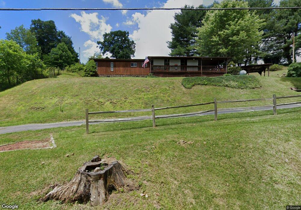
1943 Red Stone Rd Chilhowie, VA 24319
Estimated Value: $61,388 - $86,000
2
Beds
1
Bath
1,152
Sq Ft
$64/Sq Ft
Est. Value
About This Home
This home is located at 1943 Red Stone Rd, Chilhowie, VA 24319 and is currently estimated at $73,847, approximately $64 per square foot. 1943 Red Stone Rd is a home located in Smyth County with nearby schools including Chilhowie Elementary School, Chilhowie Middle School, and Chilhowie High School.
Ownership History
Date
Name
Owned For
Owner Type
Purchase Details
Closed on
Apr 16, 2014
Sold by
Robinson Terry Lee
Bought by
Lawrence Harry F
Current Estimated Value
Home Financials for this Owner
Home Financials are based on the most recent Mortgage that was taken out on this home.
Original Mortgage
$26,400
Outstanding Balance
$20,008
Interest Rate
4.26%
Mortgage Type
New Conventional
Estimated Equity
$53,839
Create a Home Valuation Report for This Property
The Home Valuation Report is an in-depth analysis detailing your home's value as well as a comparison with similar homes in the area
Home Values in the Area
Average Home Value in this Area
Purchase History
| Date | Buyer | Sale Price | Title Company |
|---|---|---|---|
| Lawrence Harry F | $33,000 | -- |
Source: Public Records
Mortgage History
| Date | Status | Borrower | Loan Amount |
|---|---|---|---|
| Open | Lawrence Harry F | $26,400 |
Source: Public Records
Tax History Compared to Growth
Tax History
| Year | Tax Paid | Tax Assessment Tax Assessment Total Assessment is a certain percentage of the fair market value that is determined by local assessors to be the total taxable value of land and additions on the property. | Land | Improvement |
|---|---|---|---|---|
| 2025 | $269 | $45,600 | $15,000 | $30,600 |
| 2024 | $269 | $45,600 | $15,000 | $30,600 |
| 2023 | $319 | $43,100 | $12,500 | $30,600 |
| 2022 | $319 | $43,100 | $12,500 | $30,600 |
| 2021 | $319 | $43,100 | $12,500 | $30,600 |
| 2020 | $319 | $43,100 | $12,500 | $30,600 |
| 2019 | $319 | $43,100 | $12,500 | $30,600 |
| 2018 | $319 | $43,100 | $12,500 | $30,600 |
| 2017 | $319 | $43,100 | $12,500 | $30,600 |
| 2016 | $319 | $43,100 | $12,500 | $30,600 |
| 2015 | $319 | $0 | $0 | $0 |
| 2014 | $319 | $0 | $0 | $0 |
Source: Public Records
Map
Nearby Homes
- 450 Stoney Battery Rd
- 556 Stoney Battery Rd
- 232 Thomas Rd
- 293 Deans Branch
- 206 Spring Hollow Rd
- 495 Vale Cir
- 409 Vale Cir
- 244 Rosenbaum Hollow Ln
- 513 Adwolfe Rd
- tbd Chestnut Ridge Rd
- 151 Rolling Hills Dr
- 1219 Chestnut Ridge Rd
- 1900 Lee Hwy
- 1900 Lee Highway Land
- 454 Old Airport Rd
- 710 Saint Clairs Creek Rd
- 1055 Saint Clairs Creek Rd
- 182 Saint Johns Way
- TBD Saint Clairs Creek Rd
- 159 Brentwood Ln
- 1934 Red Stone Rd
- 1921 Red Stone Rd
- 1920 Red Stone Rd
- 1911 Red Stone Rd
- 1903 Red Stone Rd
- 1918 Red Stone Rd
- 122 S Fork Rd
- 152 Old Mill Rd
- 162 Old Mill Rd
- 188 Old Mill Rd
- 194 Old Mill Rd
- 135 S Fork Rd
- 104 Old Mill Rd
- 109 S Fork Rd
- 117 Old Mill Rd
- 179 Old Mill Rd
- 159 Old Mill Rd
- 131 S Fork Rd
- 154 S Fork Rd
- 1839 Red Stone Rd