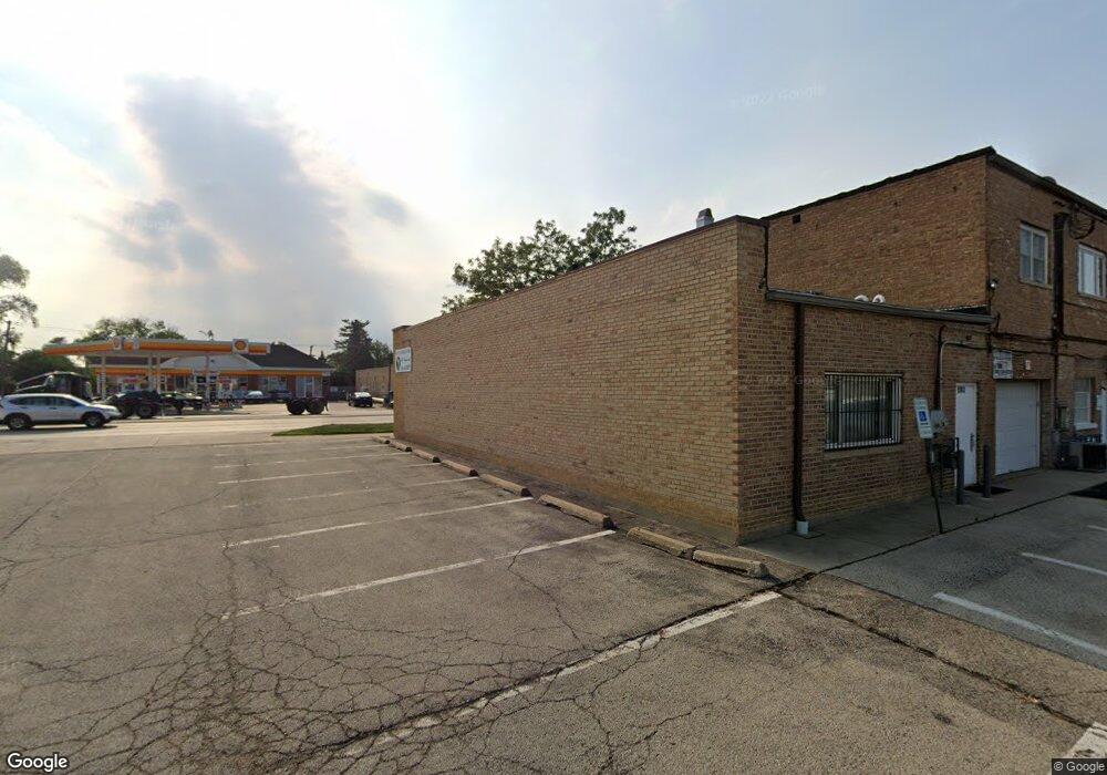
1943 S Mannheim Rd West Chester, IL 60154
Estimated Value: $683,000
--
Bed
--
Bath
--
Sq Ft
0.6
Acres
About This Home
This home is located at 1943 S Mannheim Rd, West Chester, IL 60154 and is currently priced at $683,000. 1943 S Mannheim Rd is a home located in Cook County with nearby schools including Westchester Primary School, Westchester Intermediate School, and Westchester Middle School.
Ownership History
Date
Name
Owned For
Owner Type
Purchase Details
Closed on
Oct 31, 2013
Sold by
Marino Frank
Bought by
Bismillah Builders Llc
Current Estimated Value
Purchase Details
Closed on
Sep 14, 2007
Sold by
Marino Frank and Angileri Vincenzo
Bought by
Marino Sara and Angileri Vincenzo
Purchase Details
Closed on
Aug 10, 2007
Sold by
Marino Frank
Bought by
Marino Frank and Angileri Vincenzo
Purchase Details
Closed on
Jun 21, 2000
Sold by
Mid America Bank Fsb
Bought by
Marino Frank
Home Financials for this Owner
Home Financials are based on the most recent Mortgage that was taken out on this home.
Original Mortgage
$82,400
Interest Rate
10.5%
Mortgage Type
Commercial
Purchase Details
Closed on
Nov 11, 1998
Sold by
American National Bk & Tr Co Of Chicago
Bought by
1St Fsla Of Westchester
Create a Home Valuation Report for This Property
The Home Valuation Report is an in-depth analysis detailing your home's value as well as a comparison with similar homes in the area
Home Values in the Area
Average Home Value in this Area
Purchase History
| Date | Buyer | Sale Price | Title Company |
|---|---|---|---|
| Bismillah Builders Llc | $40,000 | Attorney | |
| Marino Sara | -- | None Available | |
| Marino Frank | -- | Chicago Title Insurance Co | |
| Marino Frank | $103,000 | -- | |
| 1St Fsla Of Westchester | -- | -- |
Source: Public Records
Mortgage History
| Date | Status | Borrower | Loan Amount |
|---|---|---|---|
| Previous Owner | Marino Frank | $82,400 |
Source: Public Records
Tax History Compared to Growth
Tax History
| Year | Tax Paid | Tax Assessment Tax Assessment Total Assessment is a certain percentage of the fair market value that is determined by local assessors to be the total taxable value of land and additions on the property. | Land | Improvement |
|---|---|---|---|---|
| 2024 | $7,028 | $26,779 | $9,188 | $17,591 |
| 2023 | $10,860 | $26,779 | $9,188 | $17,591 |
| 2022 | $10,860 | $35,597 | $9,188 | $26,409 |
| 2021 | $10,512 | $35,596 | $9,187 | $26,409 |
| 2020 | $10,270 | $35,596 | $9,187 | $26,409 |
| 2019 | $10,631 | $37,631 | $7,218 | $30,413 |
| 2018 | $10,492 | $37,631 | $7,218 | $30,413 |
| 2017 | $10,290 | $37,631 | $7,218 | $30,413 |
| 2016 | $8,067 | $27,662 | $6,890 | $20,772 |
| 2015 | $4,332 | $15,045 | $6,890 | $8,155 |
| 2014 | $4,231 | $15,045 | $6,890 | $8,155 |
| 2013 | $11,983 | $47,667 | $6,890 | $40,777 |
Source: Public Records
Map
Nearby Homes
- 1908 Belleview Ave
- 10461 Dorchester St
- 1803 Balmoral Ave
- 10324 Wight St
- 1921 Buckingham Ave
- 1860 Buckingham Ave
- 10630 W Cermak Rd Unit 2E
- 1847 Newcastle Ave
- 1811 Downing Ave
- 10567 Waterford Dr
- 1907 Suffolk Ave
- 2230 Kensington Ave
- 2205 Mayfair Ave
- 10610 Essex St
- 10531 Camelot St
- 2337 Kensington Ave
- 10524 Camelot St
- 1900 Manchester Ave
- 10511 Preston St
- 4 Garden Dr Unit 4
- 1939 S Mannheim Rd
- 1956 Balmoral Ave
- 1929 S Mannheim Rd
- 1905 S Mannheim Rd
- 1937 S Mannheim Rd
- 1907 S Mannheim Rd
- 1946 Balmoral Ave
- 1926 S Mannheim Rd
- 1938 S Mannheim Rd
- 1925 S Mannheim Rd
- 1942 Balmoral Ave
- 1955 Balmoral Ave
- 1901 S Mannheim Rd
- 1951 Balmoral Ave
- 1934 Balmoral Ave
- 1945 Balmoral Ave
- 1922 S Mannheim Rd
- 1930 Balmoral Ave
- 1939 Balmoral Ave
- 1941 Belleview Ave