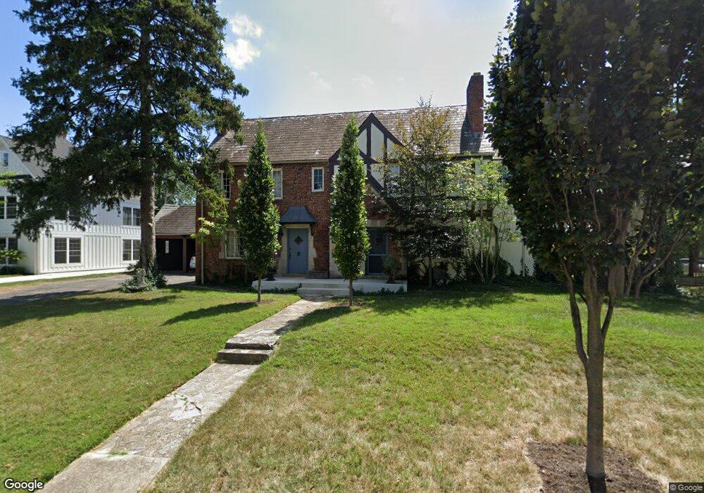
1943 Tewksbury Rd Unit 945 Columbus, OH 43221
Estimated Value: $617,000
6
Beds
3
Baths
3,907
Sq Ft
$158/Sq Ft
Est. Value
About This Home
This home is located at 1943 Tewksbury Rd Unit 945, Columbus, OH 43221 and is currently estimated at $617,000, approximately $157 per square foot. 1943 Tewksbury Rd Unit 945 is a home located in Franklin County with nearby schools including Barrington Road Elementary School, Jones Middle School, and Upper Arlington High School.
Ownership History
Date
Name
Owned For
Owner Type
Purchase Details
Closed on
Nov 24, 2012
Sold by
Peppe Michael G
Bought by
Peppe Michael G
Current Estimated Value
Purchase Details
Closed on
Nov 24, 2010
Sold by
Peppe Dorothy S
Bought by
Peppe Michael G and Dorothy S Peppe Living Trust
Create a Home Valuation Report for This Property
The Home Valuation Report is an in-depth analysis detailing your home's value as well as a comparison with similar homes in the area
Home Values in the Area
Average Home Value in this Area
Purchase History
| Date | Buyer | Sale Price | Title Company |
|---|---|---|---|
| Peppe Michael G | -- | None Available | |
| Peppe Michael G | -- | Attorney |
Source: Public Records
Tax History Compared to Growth
Tax History
| Year | Tax Paid | Tax Assessment Tax Assessment Total Assessment is a certain percentage of the fair market value that is determined by local assessors to be the total taxable value of land and additions on the property. | Land | Improvement |
|---|---|---|---|---|
| 2024 | $21,728 | $368,200 | $126,140 | $242,060 |
| 2023 | $21,463 | $368,200 | $126,140 | $242,060 |
| 2022 | $10,817 | $151,840 | $58,980 | $92,860 |
| 2021 | $9,605 | $151,840 | $58,980 | $92,860 |
| 2020 | $9,522 | $151,840 | $58,980 | $92,860 |
| 2019 | $8,977 | $126,530 | $58,980 | $67,550 |
| 2018 | $7,756 | $126,530 | $58,980 | $67,550 |
| 2017 | $9,011 | $126,530 | $58,980 | $67,550 |
| 2016 | $6,587 | $95,550 | $66,780 | $28,770 |
| 2015 | $6,582 | $95,550 | $66,780 | $28,770 |
| 2014 | $6,490 | $95,550 | $66,780 | $28,770 |
| 2013 | $5,672 | $157,605 | $66,780 | $90,825 |
Source: Public Records
Map
Nearby Homes
- 2063 Westover Rd
- 2276 Northwest Blvd
- 2110 Northwest Blvd
- 2295 Oxford Rd
- 1565 Berkshire Rd
- 2615 Northwest Blvd
- 2569 Chester Rd
- 1535 Doone Rd
- 2585 Westmont Blvd
- 1481 Doone Rd
- 2648 Chester Rd
- 1470 Cardiff Rd
- 1659 Tremont Rd
- 1733 Elmwood Ave
- 1729 Elmwood Ave
- 2170 Lane Woods Dr Unit 2170
- 1825 Northwest Ct Unit D
- 2015 W 5th Ave Unit 211
- 2015 W 5th Ave Unit 102
- 2015 W 5th Ave Unit 108
- 1937 Tewksbury Rd
- 1956 Tewksbury Rd
- 2244 Coventry Rd Unit 2244
- 2240 Coventry Rd Unit 2240
- 1927 Tewksbury Rd
- 1938 Suffolk Rd Unit 1938
- 1926 Suffolk Rd
- 1946 Tewksbury Rd
- 2280 Coventry Rd
- 1940 Suffolk Rd Unit 1940
- 1923 Tewksbury Rd
- 1918 Suffolk Rd
- 1936 Tewksbury Rd
- 2271 Coventry Rd
- 2288 Coventry Rd
- 1910 Suffolk Rd
- 1919 Tewksbury Rd
- 1928 Tewksbury Rd
- 2229 Coventry Rd Unit 3
- 2229 Coventry Rd Unit 6